Thanks for the map, I figured it went to Long Valley.
Hearing mandatory evacs for all of Chester as well as the East side (147x89). Anybody have info on what the trigger to evac Seneca hospital will be?
Official evac map
https://buttecountygis.maps.arcgis.com/apps/webappviewer/index.html?id=9c92e0a2d2e0415fa5248d70cd644a82
EDIT: in the last 8 minutes they put Chester itself under a Warning.
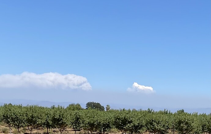
can anyone tell me is the column coming up behind Mt Shasta in the Hammondranch webcam the Dixie?
Chester is under warning, not yet mandatory.
Everything else around the lake south of the Causeway is under mandatory.
The afternoon winds are on their way, so the situation may get worse.
That looks to be too far north to be the Dixie.
Not sure this is of any use, but there is a webcam in Downtown Chester we can monitor to keep an eye on town.
https://www.ronmartinrealty.com/communities/live-webcam/
Note: Apparently this individual has limited bandwidth and it’s been an issue recently. He now has a timer on the page that redirects after a certain amount of time to keep people from leaving the feed open. Please be respectful of his bandwidth and only use it when you’re actually viewing.
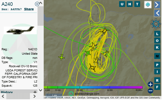
15 acre spot in Division Charlie? Outside main containment lines, but inside contingency. Air resources were sent, but haven’t heard about progress. About 1.5 hours ago
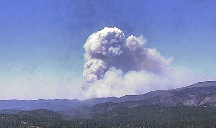
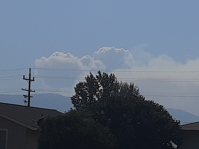
View from Susanville at 1525 hours. Should be the North East portion of the fire. Appears to be cranking pretty good.
That looks just like the Moonlight fire did back in the day!
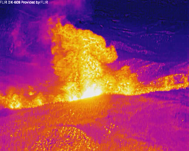
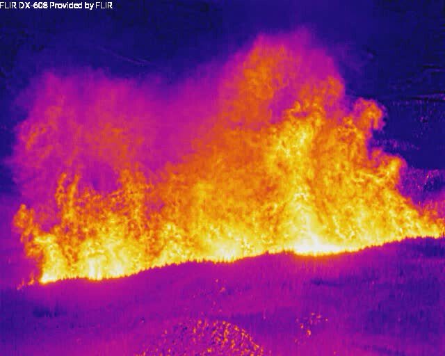
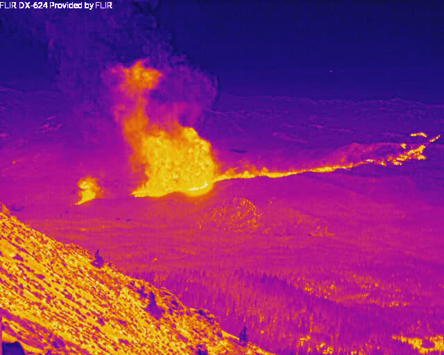
Could be the spot on jhiggins last IR camera image.
Flaring up fast. doesn’t look great.
But as you said, it does look to be “above” town to the west still.
It actually looks like the brunt of the heat may be a bit north of Greenville already?
Maybe up the slope west of pinebrook way.
Coming down the north slope toward HWY 89.
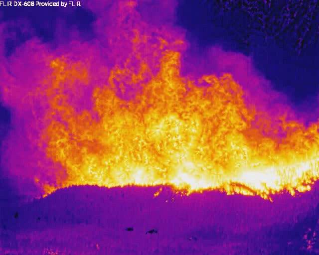
Live IR camera stream.
On Dyer Mtn looking south to Greenville.

