8/5/2021 @ 11:41 AM: Dixie Fire Scanner: All units on Division Juliette disengage and go to a safe zone. The fire is making a run.
My home is near the St Bernard Lodge. Are there any current maps or info available? Last we saw, maps indicated our home was surrounded on 3 sides by fire. Wetland in front, neighbor with spring-fed sprinklers going to the east and a small meadow to the north. Nano fraction of hope for awhile lol
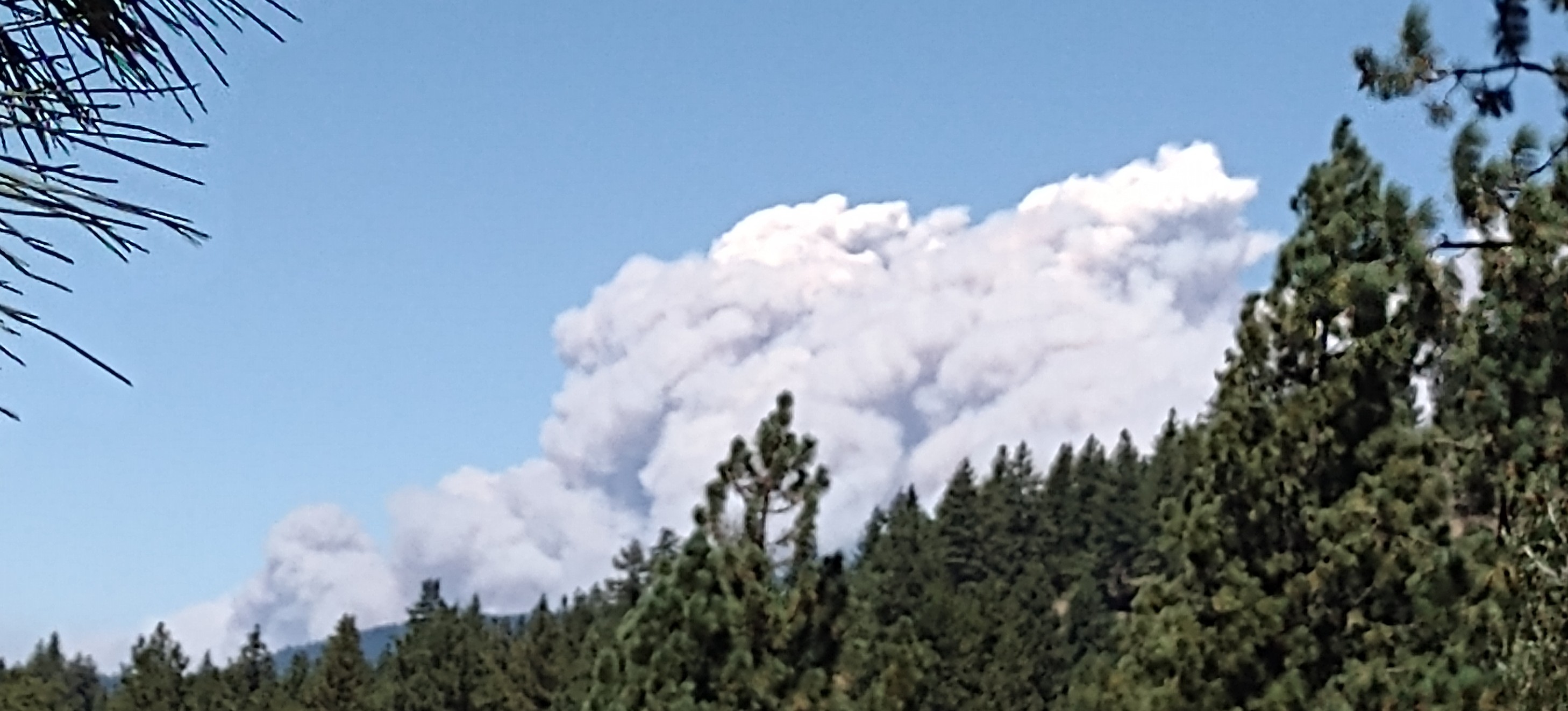
I sure feel for these guys … this thing is a beast
Mandatory Evac of Taylorsville, including N Arm Road, N Valley Road, and Diamond Mtn Road as of 11:59 PM. Fire appears to have crested Keddie Ridge and showing very active fire behavior on the east. Fire also appears to be pushing back south towards Crescent Mills along Cherokee Mine Road alignment.
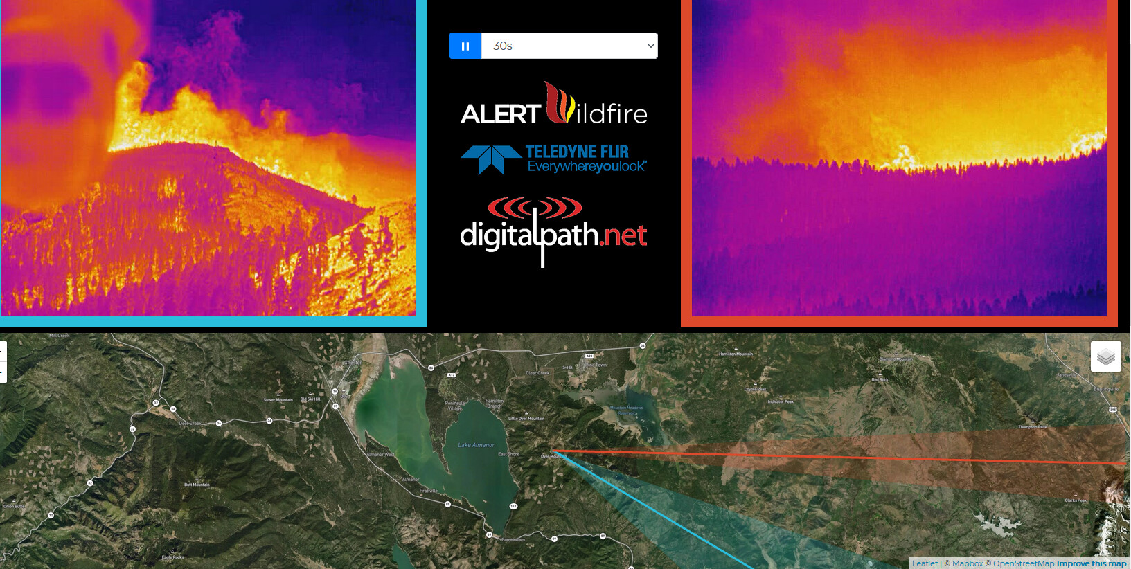
Not familiar with the area but is the Indian Ridge cam looking right at Mountain Meadow Reservoir??? Looking at the smoke column north of the lake is Westwood and looks to be poised to run right through it…if not there already.
Believe I just heard that thunder was reported from the plume, which isn’t terribly surprising given that plume echo tops are somewhere around 28k feet on radar and conditions are pretty unstable
Mt Meadows (or as the locals call it Walker lake) is on the other side of that column. You can see Round Valley Res in that pic. Westwood was told to evacuate.
 … That seems to be the area of the Deer Creek Lodge and mobile home park