
The map comment was removed? There were dots along all the edges instead on coordinates and even behind all of the writing.
2230 Thur: Courtney Air up on the mapping mission, finished and now giving some Situational Awareness to Night Ops. Has a spot 2.5mi north of the main fire in Div R. 500x500 spot near Tamarack Cutoff Road and Humboldt Rd. Sort of near DP-103. A couple more spots on Div R, 300x300, 1.25mi north of fire, on other side of Butt Creek down in the bottom.
2315: Firing operation right now in Div R northeast of Butt Valley Reservoir. From Prattville Road just before the surge chamber, SE along the base of the hills, following the 4800ft contour in the flats. This is right below the Butt Lake camera which currently has a PGE operator driving it and steering around looking at ground around the camera. 15min timelapse now has some good bits of the firing op.
11 Likes
Almanor West area Firing heat is now showing
https://caltopo.com/map.html#ll=40.18111,-121.15294&z=13&b=t&o=f16a%2Cr&n=1,0.25&a=mba%2Cfire%2Cmodis_mp
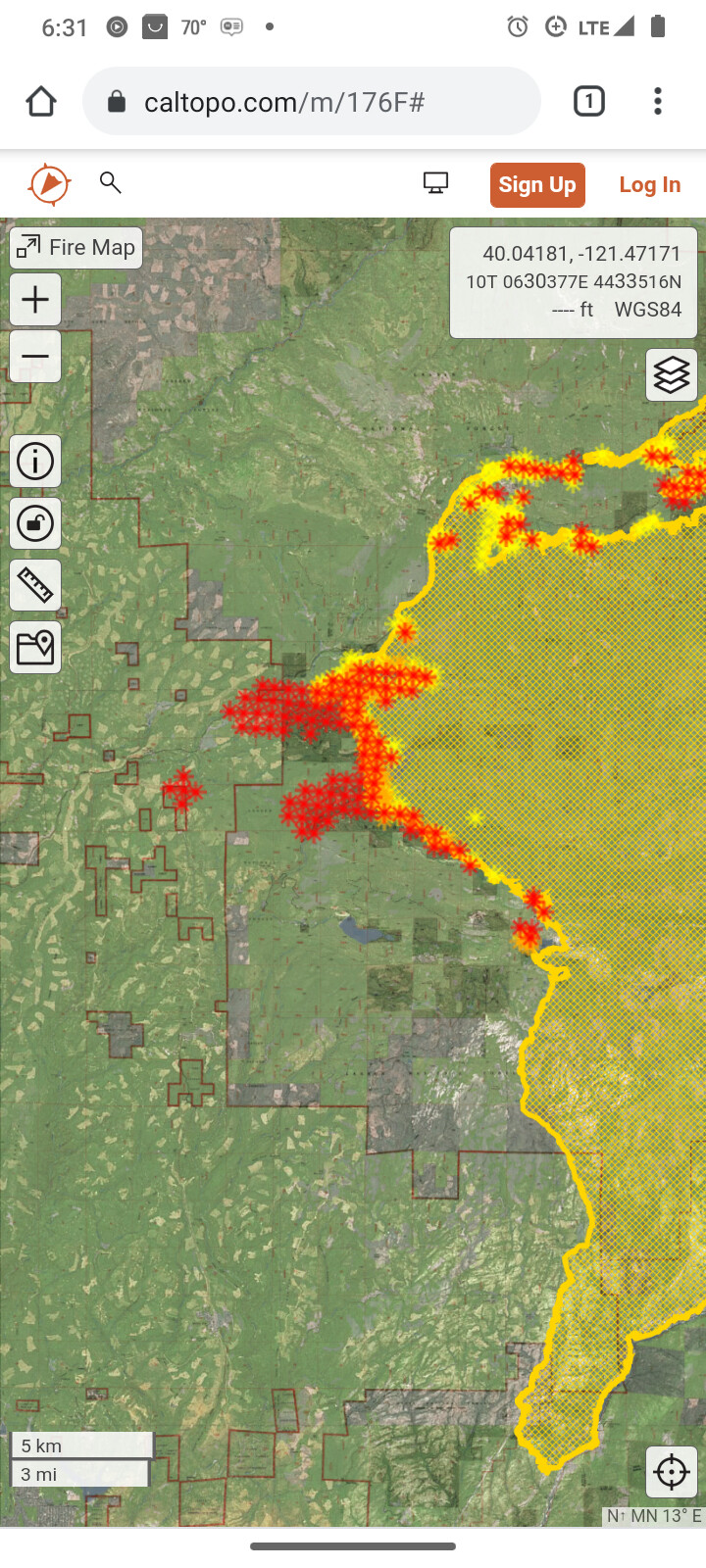
There is a scan of heat north of Round valley Reservoir/ Long Valley Road 204?? You’ll need to pan right or zoom out.
2 Likes
DATA PACKAGE is posted at maps.takserver.us
*** the one labeled OPS is only the East and West Ops Maps****
2 Likes
The head of the spot fire from Twain has hit 89/70 very hard. Impassable for non-fire vehicles period at the moment. Large out-of-county law enforcement mutual aid presence coming into Quincy this evening for surge patrol and prep for evacuating larger chunks of population in the county if needed.
5 Likes
Yes, things just got really hot there on the GOES 17 IR. RAMMB/CIRA SLIDER: Satellite Loop Interactive Data Explorer in Real-time with GOES-16 and Himawari-8 Satellite Imagery
7 Likes
Small cell bringing light sprinkles over Almanor this morning. Not much, but we’ll take it.
9 Likes
This evening’s CAL FIRE update reports 220,012 acres with 23% containment.
4 Likes
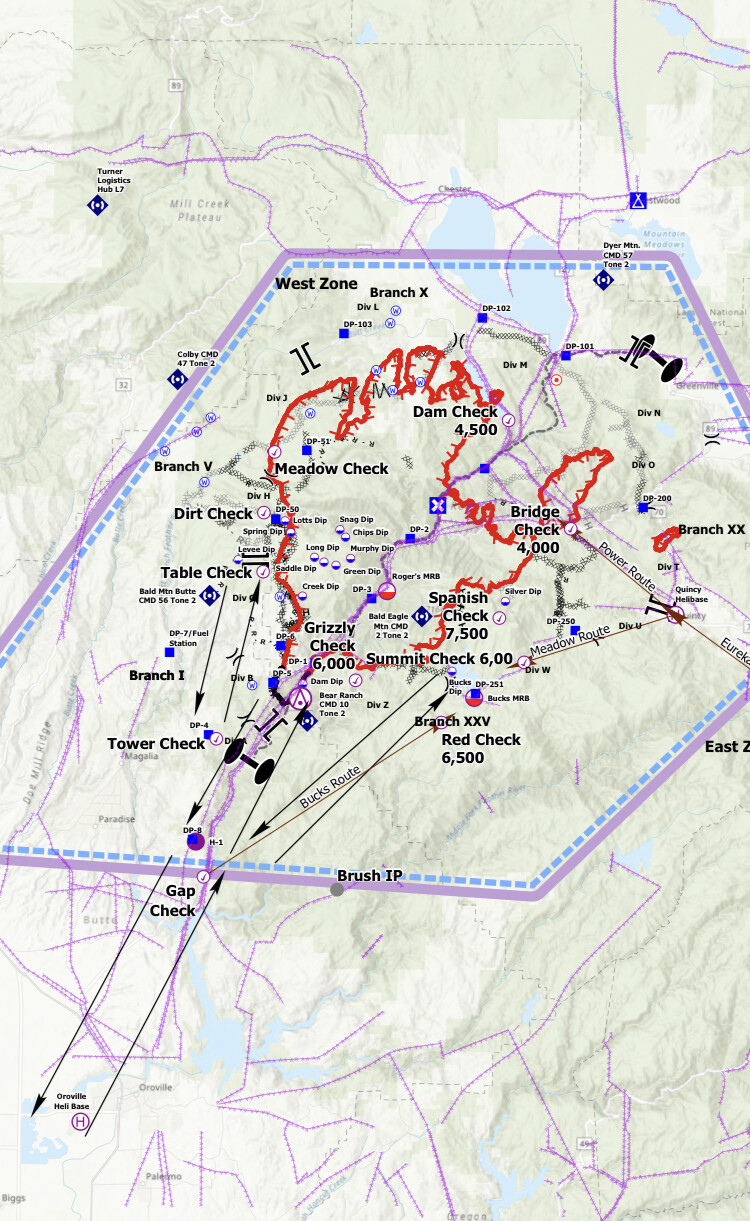
They brought fire down Humboldt road and humbug summit road tying divisions F & E in.
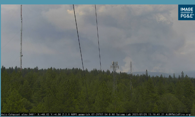
Looks impressive on the camera.
8 Likes
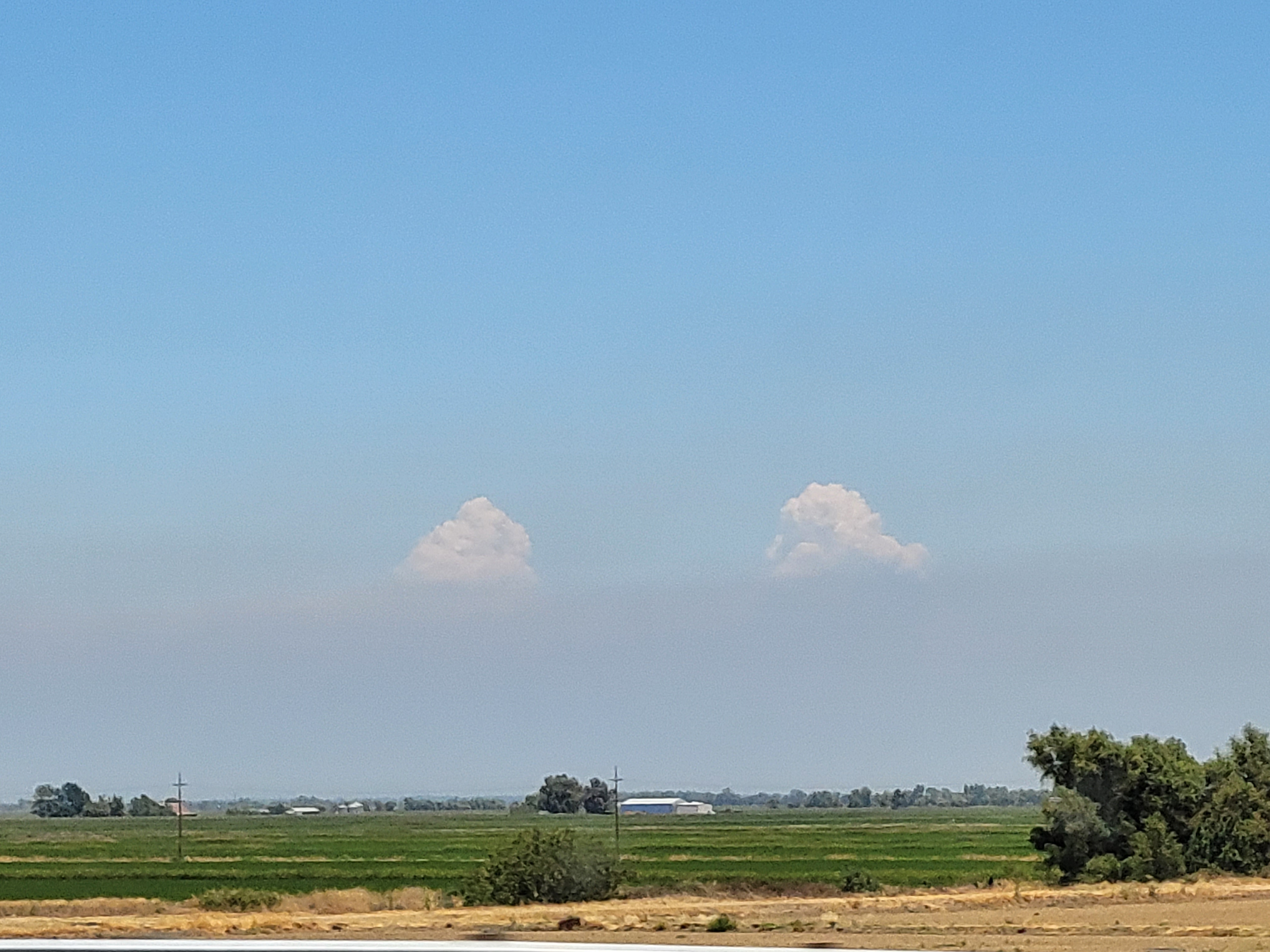
they were getting cloud to cloud lightning on the east and west zone plumes.
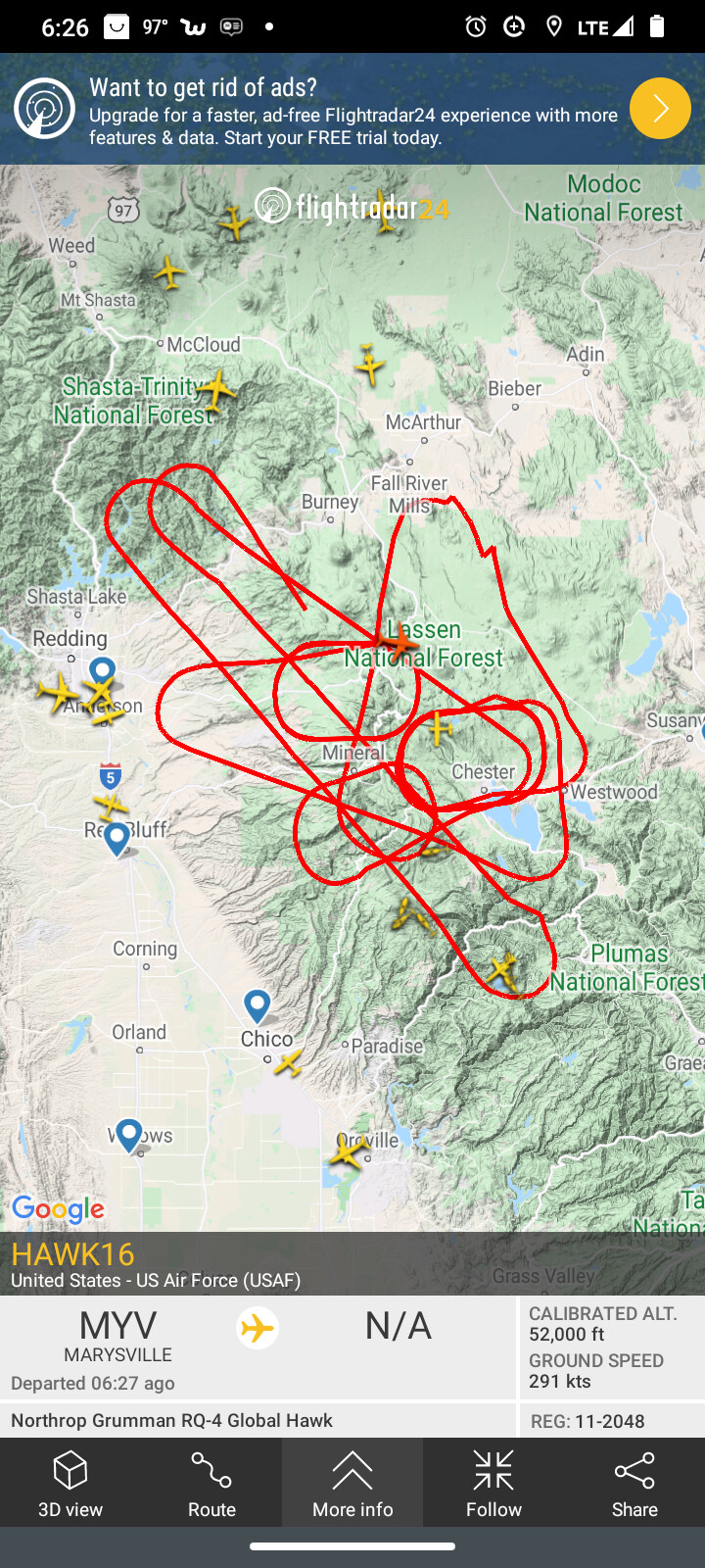
Hawk16 drone is doing recon around those plumes flying 52,000 feet.
6 Likes