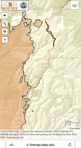
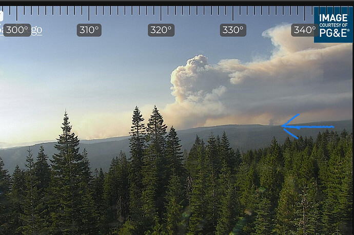
I may b wrong, but doesn’t look like it’s in then black. Is that he spot I see in adsfish’s map??
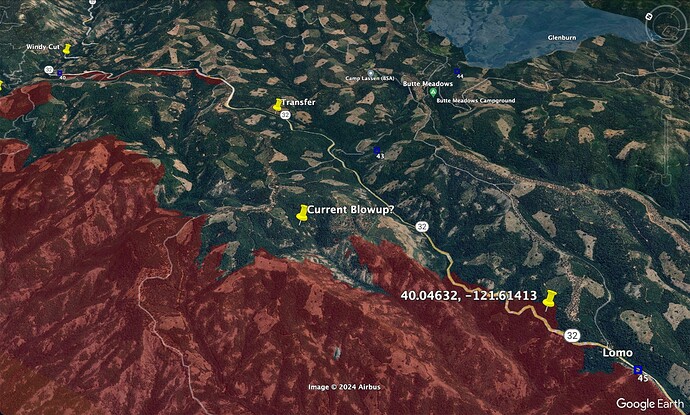
No, the spot to the north on that map was established yesterday morning. This one is closer to the ‘B’ in the Butte County label next to Hwy 32. See the placemark with lat/long in my post above - CA-BTU-PARK-2024??? - #716 by pyrogeography
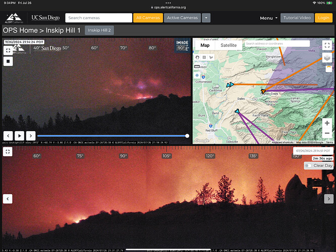
I cannot say for sure either. Here is a screenshot of Inskip I took Friday night and you can see how the fire progressed around that area based on where the camera was pointed .
Influence from a “normal” sw flow very evident right now. Makes me reflect on all the alignment issues & concerns our troop’s are facing…
Has this burned enough on fed ground for the FS to throw a team at it ?
The Feds don’t have many teams available.
I noticed , many were not avail , but not many are assigned I’m assuming a rostering problem??
I mean 14 North Ops crews are/will be assigned according to the SIT-500, with LNF IMT
I think it might be a work/Rest thing. They should start popping up soon
Password required.
GOES WEST View Impressive @1725
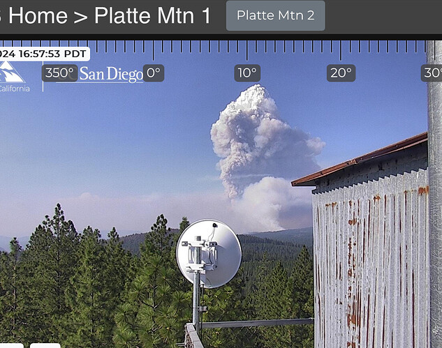
Checking the GOES imagery (thank you @caltopo) I think the current blowup we’re seeing on the Platte Mtn camera is a slope-driven run, here. The last aerial IR flight showed a bunch of spots in the established in the drainage, below.
You can see the firing from last night to the north of this, at the head of the next drainage.
If it is it’s a LONG ways out!
Like pretty close to 0, although there should be teams coming available this week, but there are currently more orders for teams, than teams available.
Thought you were taking a rest day … 
That smoke looks like the fire Colby mt has been looking at. If you watch the 2hr loops smoke production matches
If they do, I sure hope they don’t burn 100,000 acres

