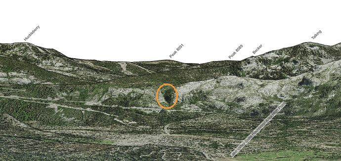
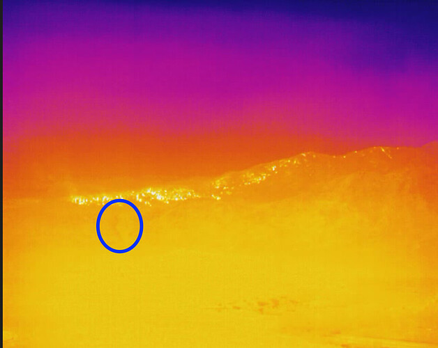
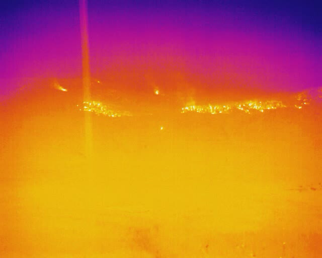
Re-attaching an image from https://caltopo.com/view#ll=38.9274,-119.9316&e=30&t=,n&z=7&c=-1.47,-134.9 for reference. It’s hard to make out terrain on the FLIR image, but you can generally pick out the drainage that I’ve highlighted in both images, and use that as a reference point. The face with the drainage is above 50, the face behind it is above (West) of Echo Lake.
That fire started on the N side of 50 and the Angora ridge kinda guided it toward NW but slowed it down getting to Fallen Leaf Lake. This time, if it gets established in Xmas Valley and on the N side of 50 wow. It would have Pioneer Trail and steep terrain to get into if things go bad.
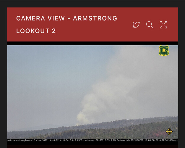
Probably the active area on the E aspect of Leek Springs
There was a spot outside line in division p on the IR map west of leek springs.
Video of Cal OES briefing from earlier this morning. Lots of general information about overall fire situation. Not all that informative about the Caldor though.
Looks like they got the Fallen Leaf and DL Bliss cams turned to the south west to keep an eye out for any spotting.
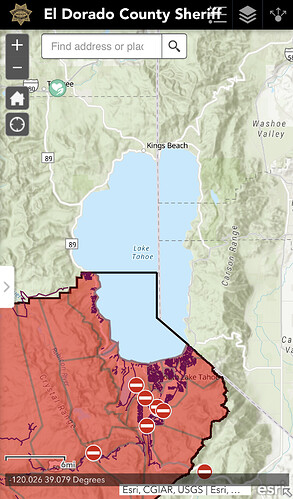
KCRA just said that State Line is under a warning
Nothing about evacuation warnings for Stateline on Douglas County Sheriff’s site.
Yes, XSA4152C.
You probably know… just replying because of the ? part.
KCRA coverage, commentary with copter 3 flying the south side
San Bernardino ski resorts did it twice for fires in January. It helped.
Per Douglas County, NV: https://www.douglascountynv.gov/government/departments/emergency_management/current_emergencies/caldor_fire
Road Closures
US 50 West Bound at Spooner Jct (S. Carson St & 50)
SR 207 West Bound at Foothill Rd
SR 28 and US 50 Jct West Bound on 50
Per Douglas County, NV FB page: Redirecting...
Non-essential travel is NOW PROHIBITED into Tahoe’s east shore.
Per Nevada DOT https://nvroads.com/ :
- Road Closed (Wildland Fire) - on US-50 westbound from mile post 0.0 in Douglas County to mile post 7.6 in Carson City County in Nevada.
Current as of: 08/30/2021 01:33:46 PM PDT
- Road Closed (Wildland Fire) - on SR-207 westbound from US-50 Junction to Dagget Pass Chain Up Area in Nevada.
Current as of: 08/30/2021 01:35:50 PM PDT
Zephyr Cove Elementary School and George Whittell High School will be closed for the rest of this week. We will continue to monitor conditions created by the Caldor Fire in the Lake Tahoe Basin to determine the appropriate next steps, taking into consideration mandatory evacuation orders, air quality, etc.
We hope our Lake families can now focus on what’s most important, and that is on their health and safety. You are all in our thoughts and prayers and we are here to support you in whatever capacity we can during these challenging times.
Per [Tahoe Transportation District] (Redirecting...)
August 30th, 10:30 am: Please be advised that TTD is assisting with evacuations. Routes 19X and 22 are re-routed to evacuation services linking Stateline Transit Center and the Douglas County Community Center. Routes 50 and 55 will continue to operate and bring evacuees from the City of South Lake Tahoe to the Stateline Transit Center. If you need transportation and are not near Routes 50 or 55, please call 911.
Not sure where to put this question,
Is Basecamp still in PVille at the Fairgrounds?
Looks like everybody who wanted to get out has, traffic very light compared to before. Google traffic showing some green vs purple from earlier.
Watching live TV, traffic is bumper to bumper.

