And to mirror these thoughts…those of us who live in Sonoma County would never have believed a fire in Napa County could spread as quickly as we experienced a couple of years ago, decimating an entire subdivision in our fair City in short order. With the wind, weather, and fuel beds all in alignment, ember and large material cast can and will spread for quite a distance. Nothing is “normal” anymore in this State. Pray for rain…. And be safe!
Helco radio:
//Visibility at or above minimums in Div Whiskey and Alpha
//Tango and Union smoked out below minimums for helco work.
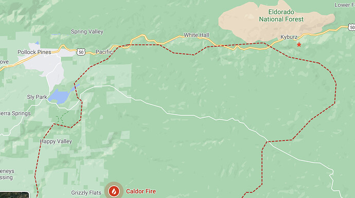
This map can be a little confusing. Just had a call from a neighbor asking if the west shore of Lake Tahoe is under a warning. The yellow does look like it almost gets to the Lake but I believe it indicates the Sierra crest and west of that. Not to SR89.
I believe an informed public is a prepared public. please do not censor your information to “protect” us. even if it alarms us, it prompts us to search out more information.
I experienced a fire several years ago that ran 10 miles in 17 minutes…had scanner on, so had a heads up. so grateful for that info.
It actually mimics the TMU forest closure notice. It is about a mile away from our cabin on the South Shore. Zooming in it does not look like it includes any built up infrastructure on the west shore (based upon where the roads are).
The people this will affect are those who are not mobile, hikers/campers/etc.
I agree with 1Windyone. We must have correct, accurate and timely information to make appropriate choices. More often than not, in my area, getting info is like pulling teeth. Condescending attitudes and platitudes and PIO speak and out of date.
So please, keep the info coming.
Plus, I am learning and relearning more every day.
Thank You All for the information and service… Be Safe.
Hearing reports on the scanner of spots across Silver Fork Rd.
Just click on the link that goes with the map. Zoom in on the area of question
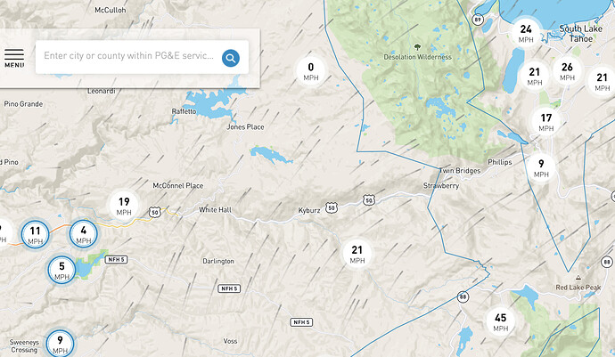
Wind in Cedar Grove has diminished from this AM. Had gusts to 11, but they were all over the place. Almost calm now. Predicted change underway?
From Twitter:
Fire is expected to reach Silver Fork Road just south of 50 (and Kyburz) within 30 minutes.
Hilgard, I agree. Plenty of rock north of 50 in Desolation to really slow it down but the South end with east west winds and topo alignment is bad juju.
Does anyone know a good camp ground or rest stop in Placerville to get some good sleep, you cannot get any rest in the Caldor Fire Camp horrible, crowded so much for 6 feet distance.
KOA in Shingle Springs
We called them they charge $60 a night, thank you for the 411
Yes! See It, Say It!!!
I don’t think anyone intends to cause hysteria but rather talk about worst case scenarios to try and stay ahead of the curve in the current environment that we find ourselves in this season.
I believe to err on the side of caution has far greater benefits then the risks of alarming a small amount of residents. It would be a whole different story if this was causing mass panic but that isn’t what’s happening.
With conditions the way they are this year we simply cannot live in absolutes, never say never! Everyone would love it if none of these long-shot predictions came to fruition but this season has it’s own ideas.
If we can give families, elderly with mobility issues, folks with horses or other livestock extra time to make their own decisions early and get out calmly and safely instead of being awakened at 0-dark-30 by evacuation sirens, I’m all for it.
Just my two cents
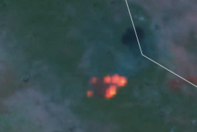
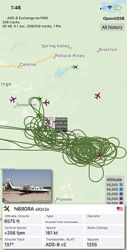
Mapping missions in progress from FL133
Should have some good IR maps within a few hours
Anyone know the turn around on publishing the images imagery?
!You are correct. West shore residential is not in the warning area. Placer county has not posted any map. But it is still confusing. Maybe EDSO could clarify. I just got a call from my daughter asking where I was going go to. My sister will be next.
Vantage point church is close. 2687 Andler Rd, Placerville, CA 95667


