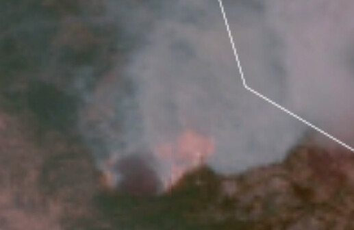
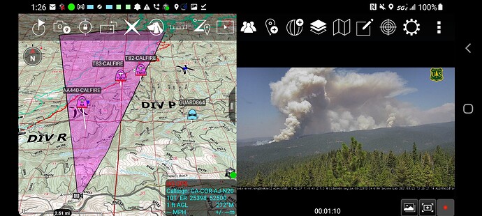
http://www.alertwildfire.org/tahoe/index.html?camera=Axis-OmoRanch1&v=fd40731
http://www.alertwildfire.org/tahoe/index.html?camera=Axis-Outingdale&v=fd40731
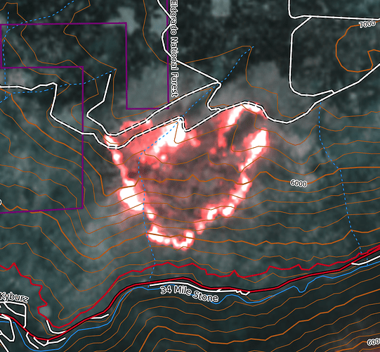
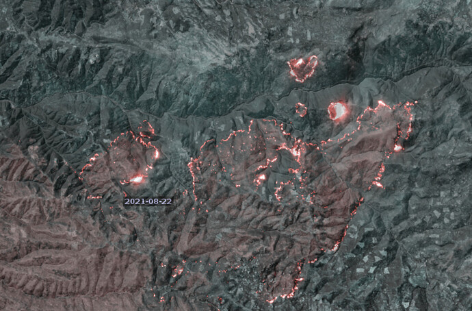
False-color long-wave IR Sentinel imagery from approximately 12pm today (CalTopo).
Close up of the spot North of 50:
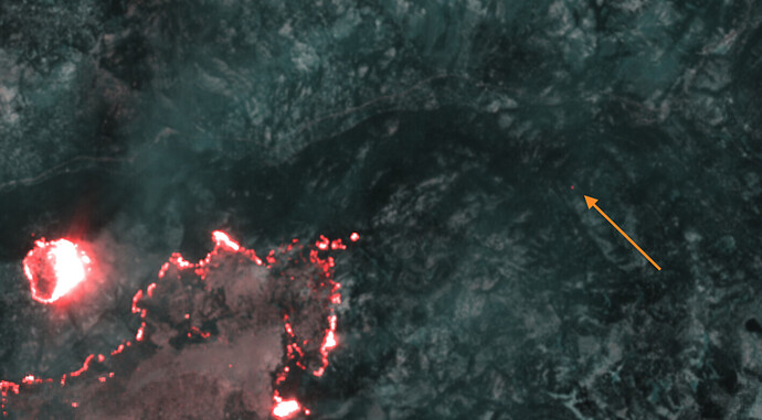
VIIRS reported two spots to the East, a southern one yesterday afternoon and then a northern one overnight. On Sentinel, I could only make out the northern one (shown via arrow):
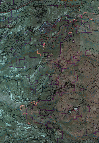
Western edge:
View of the 50 corridor with shaded relief added for perspective:
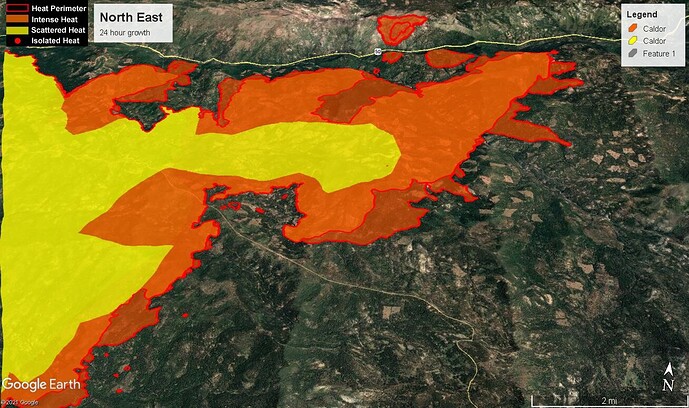
From the Armstrong and Leek Springs cameras pretty much the entire right flank is trying to run.
They were working that with the tankers a bit earlier today, but I think they diverted them all to DIV A when that took off.
Per Helco: Burn show being planned for Div J to protect Hwy 50 encroachment
The first camera is Omo Ranch 1 on the 300’ tower on Omo Ranch Rd. The second is looking up the drainage from Outingdale.
Anyone have any follow up info on fire growth in DIV A, camp creek drainage? Looked like it had some activity this afternoon
Been watching air traffic over that and listening on Broadcastify since 1pm. Sounds like it went ok but no first hand knowledge. CA Fire Scanner on Twitter says it went ok:
Tentative firing operation in the area tonight has been discussed too
What is a burn show?
Firing operation
Where the firefighters use fire to burn the fuels (vegetation) in specific areas, so that when the fire gets there, it wont have enough fuel to continue burning. It can be very risky, and is typically conducted by those that have training and experience in conducting “fire operations”.
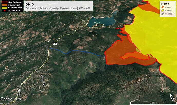
Yesterdays growth on Division Delta. Unsure of how the burn show went last night. Unconfirmed radio traffic yesterday (and I haven’t looked at the IAP) but I believe Eldordao IHC was going to be part of that burn op.
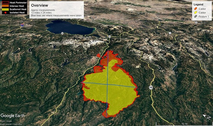
For perspective the fire is approximately the same size as Lake Tahoe.
Live feed from Live Copter 3.
Question in the blind
What do fall downslope wind events look like in this area?
Could we see a scenario like last years PNF North Complex --making a run back towards the valley?
Just looking at the map, they’ve got a good start on some black line at the heel of the fire (where it came up out of the Cosumnes) in addition they have rocked a good amount of dozer line in the south and west. Looks like it’s going to tie into ME near 88. Plenty of dozer line in the Sly Park area, except there is a bunch a fuel between those and the fire line so not sure what the plan is there (dangerous to go down into the creeks).
Looks like the western edge in Grizzly Flat is holding pretty well, except for near the MF of the Cosumnes. The spot on the north side of 50 has dozer line from the top western edge up and over the north side to what looks like all the way to Wrights Lake Rd. So hopefully, that will hold it in check. Lastly, looks like they’re going to try and prevent it from touching 50 up to Riverton. East of that unknown.
This area usually fairs decently well when the East winds come through, at least as compared to other parts of the Sierra and generally in elevations below MET as a rough marker. Nearby areas such as Kirkwood however have had record wind speeds at the ridge tops in the last few years.
Does anybody know if the strawberry lodge area is immediately affected at all? Thanks
