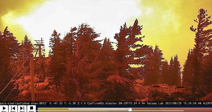
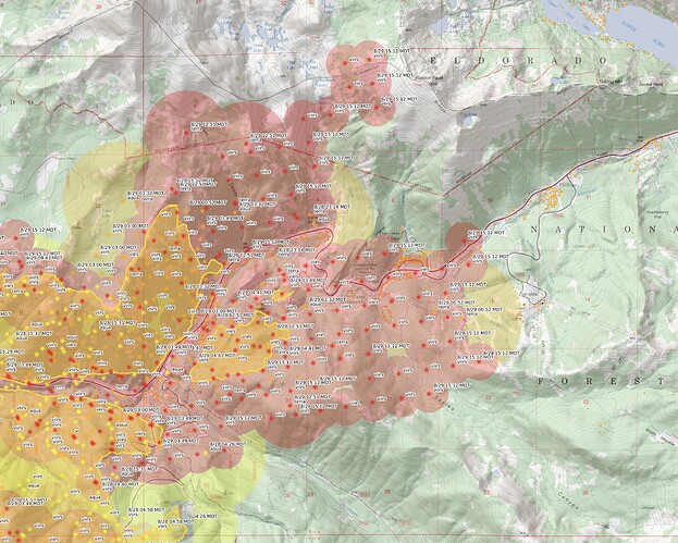
Based upon @SIXONENINE comment on the continuing thread, I’m guessing your seeing the west end of Sierra at Tahoe lighting off. Still 3-4 miles from the summit. That’s not meant to give any comfort however.
where are you hearing that 23103a?
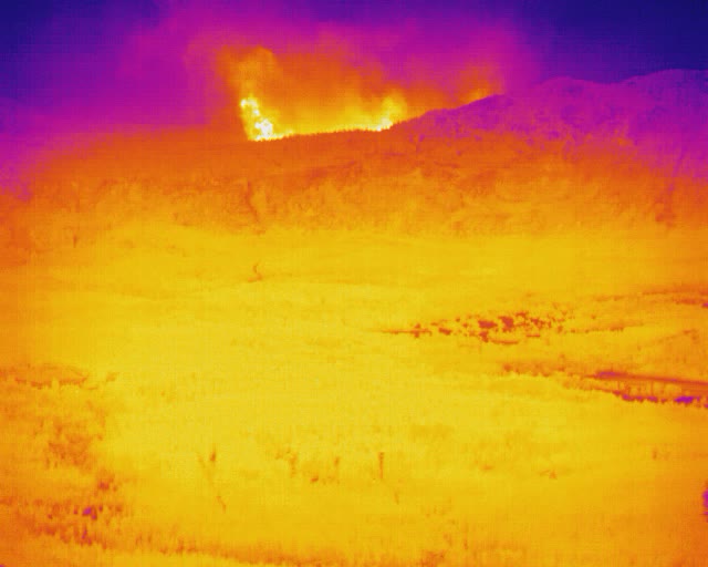
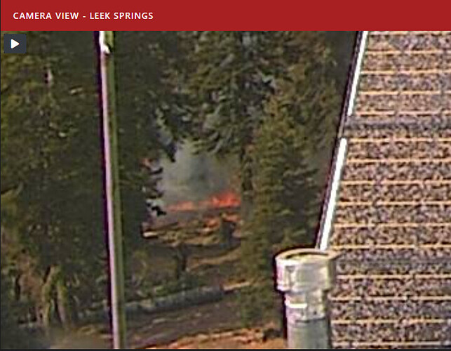
heavenly flir looking at echo summit, Ill plot the exact location / viewshed when a get home shortly.
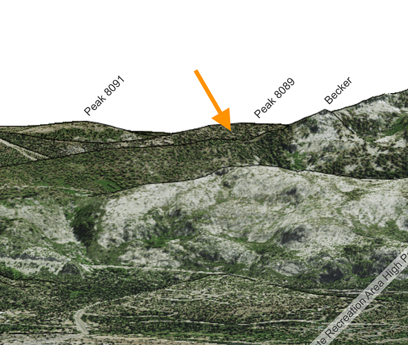
Simulated view from CalTopo matching the IR screenshot. Using the “map this spot” feature at the orange arrow puts it at Peak 8089, the big ridge between Strawberry Creek and Sierra at Tahoe. Not right next to the basin.
Seems this doesn’t add up…is that camera at the top of Heavenly? If so, maybe 9800 foot elevation-ish…Echo Summit 7300…could be looking down and perhaps misleading on exactly what you’re seeing?
Very possible. If it’s co-located with the other alert wildfire cameras it’s at 8300.
Here’s an article. Trying to pack up. The Heavenly camera is at the top of East Peak I think. Thermal cameras installed by ALERTWildfire to help firefighters see through Caldor Fire smoke – YubaNet
FLIR camera link
http://beta.alertwildfire.org/infrared-cameras/
I would agree, peak 8089
@agressivetactics Looks to just be an opening in the column (less dark air behind)
EDIT @ 15:55 - just heard AA talking to the IR flight and it sounded like a finger was impacting sections 20, 21, and 22. So perhaps closer to Sierra at Tahoe thank thought
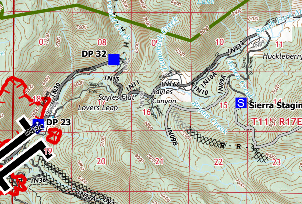
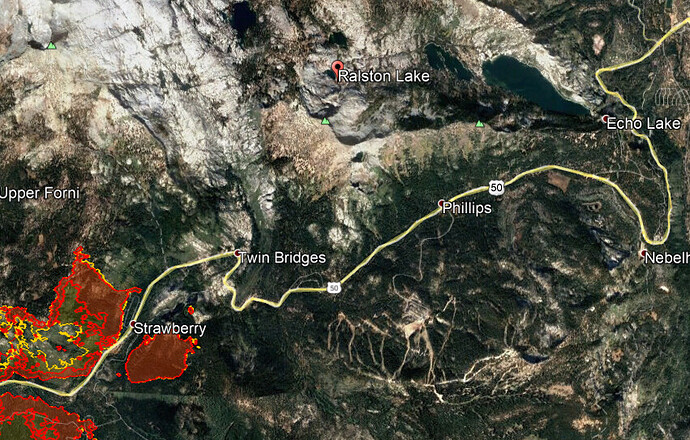
Small spot 200m x 200m by Ralston Lake per Mapping plane
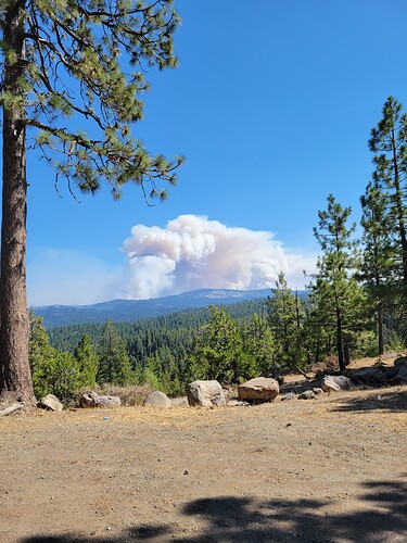
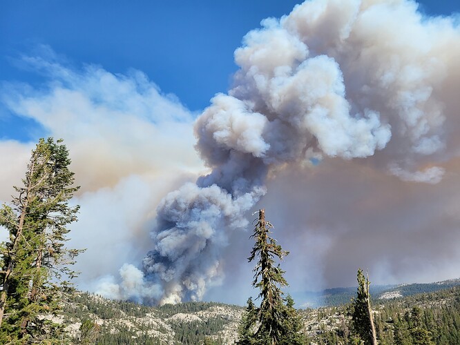
Was in Myers this morning…on the way home took these photos from west of Silver Lake …first one from Hamms Station area…second from West of Silver Lake20210829_101903|375x500
That’s a 2.5 mile range on that 10 acre spot. Gives us an idea of spot over obstacle capability this fire has with this only light-moderate wind.
Update: After looking at those IR maps appears to be only 1.5 miles
Couldn’t agree with you more. Especially when the individual holding the torch is throwing spikes like he’s in foggy timber slash. Since 2014, the occasional dot or even the slag dripping from the fusee is more than enough in most fuelbeds.
While firing is an incredible tool, it has it’s limits. When the backfire collides with the main fire, there’s always a “collision” of the flaming fronts. When this happens in timber and results in aerial fuels burning, one must wonder if it’s still the right tool.
Everyone loves to land the firing assignment, but few people are brave enough to speak up when they don’t have the experience.
3pm VIIRS showing a hard push toward Ralston Lake. The heat satellites aren’t super accurate but good for things like this - seeing into a big push like today’s.
Per scanner the Helibase at Kirkwood is bugging out!
