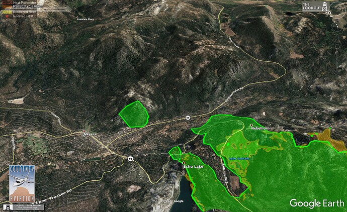
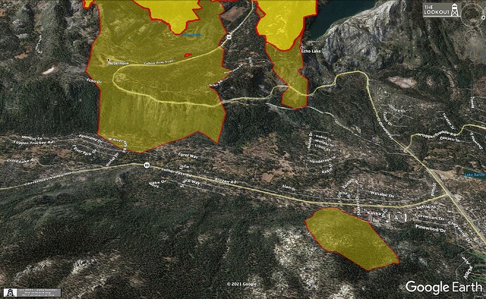
So, with this, Pioneer Trail is definitely threatened.
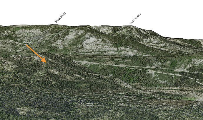
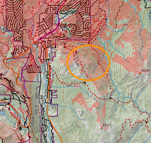
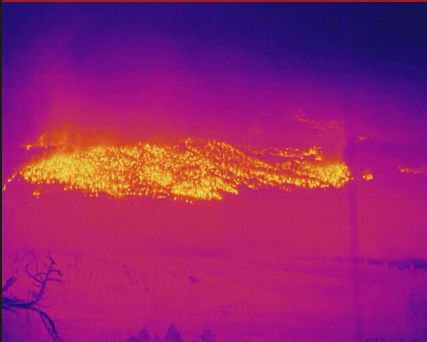
This is informed speculation rather than fact, but based on the simulated view attached, current GOES temperature data (yes I’m aware of its limitations), and matching the fire when the camera is panned so it’s half out of frame, I believe the burning slope in FLIR is peak 7768, S of Meyers and E of 89, and not highway 50. You can see the right edge of the burning area match the topography of the right edge of this peak.
With the local wind patterns coming up and over Echo Summit it doesn’t bode well. Lets hope things subside as the sun goes down. RFW and all…
The DL Bliss cam is showing an ice cap that sure looks like it might be from that spot. Let’s hope not. Maybe someone can plot it to confirm.
live video from christmas valley
Here we are 10 days later
Here is the link to live video: 238K views · 7.3K comments | #CaldorFire Christmas Valley | By Henderson Fire Media | Facebook
This video would not run at least on my machine.
What is the video format?
should be fixed now. view showed fire to the top of the ridge on the east side of christmas valley with lots of fire on both side of the valley, current view is west. 20:02
Peak 7786 not labelled on this picture. Can you help us?
Fixed. Thank you
A request for some caution. For those who are new to the site, or are not tenured here, please be careful. This is a site with lots and lots of SMEs and firefighters with decades of experience. Stating something based on conjecture or not based on some significant experience can have profound affects as others who are new see it and then think it is gospel. This site has a lot of credibility, experts, and some techno wizards that boggle others brain’s, so folks need to be cautious about throwing out an un-vetted suggestion i.e. it might go to Nevada or Utah in a couple of days, unless they have multiple model runs that support the statement. Let’s work together to keep this site as an awesome place for great intel.
LFD Strike Team 1001A has been mobilized and deployed to the incident.
Ballofire - I believe the fire in the FLIR camera (picture attached for reference) is the slope I’ve circled below (red is the camera’s viewshed). This would show the spot from pyrogeography’s image above having travelled over to the E face of the hill. I don’t have any special intel but I built CalTopo’s simulated view feature and have significant experience matching it against pictures for SAR purposes.
LAC ST’s 1133A and 1119A en route
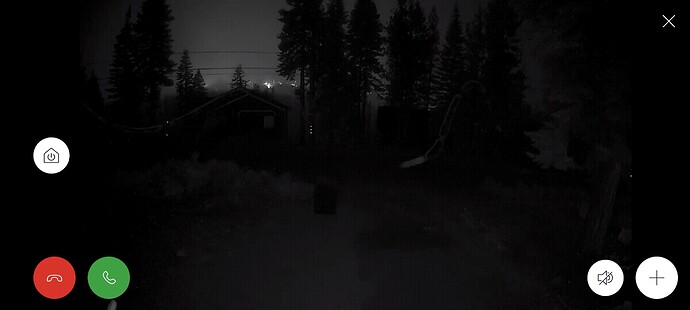
Matt driving 89 showing both sides of 89 w/fire.
