Thanks Matt, I deleted my message above. I agree with your conclusion.
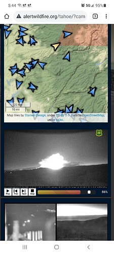
GEtting very close to Sierra at Tahoe cam right now (2135 8/30)
http://www.alertwildfire.org/tahoe/index.html?camera=Axis-Sierra&v=fd40740
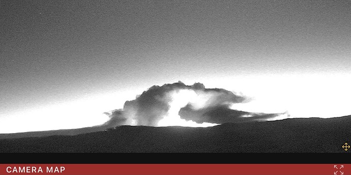
Second burn through
Nevada Sierra Front (Carson City) Red Flag Fire Wx Forecast:
https://www.accuweather.com/en/us/carson-city/89701/weather-warnings/334448
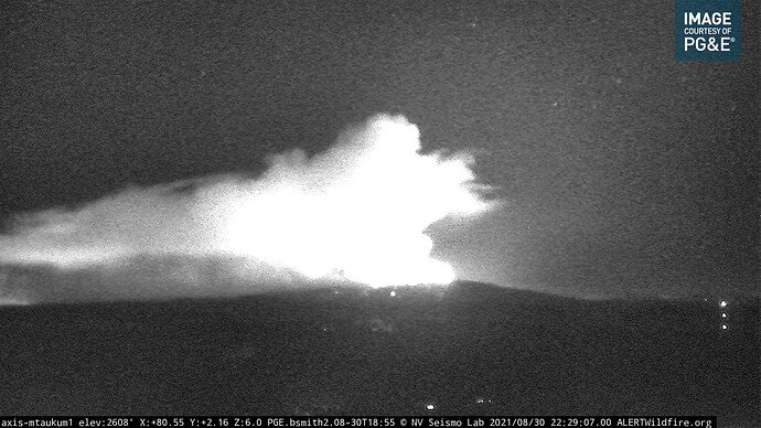
Huge “eruption” visible on both the Armstrong cams and Mt. Aukum cams. Image below is the Mt. Aukum cam. Crossing the two cams puts it north of 88 about 3 miles west of Silver Lake. The same fire is visible from several other cameras as well.
Live nest video: Shared Live Stream | Nest (Apache x Lost Lane)
fantastic job saving those houses. Ty for the link.
Can you post this site? The fact that it has the footprint, as well as the heat signature is good info.
It appears to be from CalTopo.
Not knowing your background, you have to be really careful with both the perimeters and IR. The IR is at least a few hours old and very granular. The perimeter is based on the last time it was flown or updated manually. On many fires that’s once a day. On some later fires it may still be a few hours old.
Thank you! I am just a homeowner in SLT. Looking for any info I can get. This site has been great, thank all of you for your posts!
Zoom Earth- make sure you have Wind and Fire features on
Yes,be careful posting the Caltopo heat dots for in-close info. I posted detailed IR and it shows fire has skipped the flats is still on the hill above neighborhoods. Check main Caldor thread. There is updated 5am mapping I didn’t post as it hasn’t changed much in past 3 hrs
Yes it is at the Placerville Fairgrounds
Mod Note: ICP Location from post 761
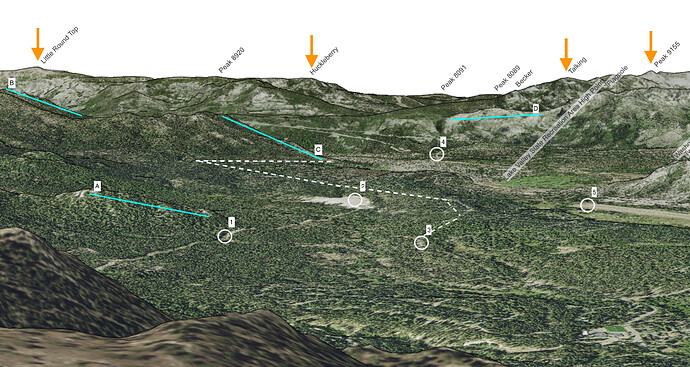
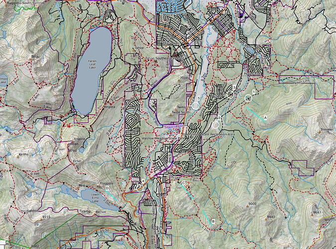
I think there are going to be a lot of eyes on the Heavenly FLIR camera today, and once the heat picks up it can be difficult to pick out terrain features. I did the best I could to line it up with real-world locations, hope this helps some people watching the camera at ALERT Wildfire. Dashed white line denotes my best guess at the S/E edge of Meyers.
Excellent strategic advice……./read and heed.
