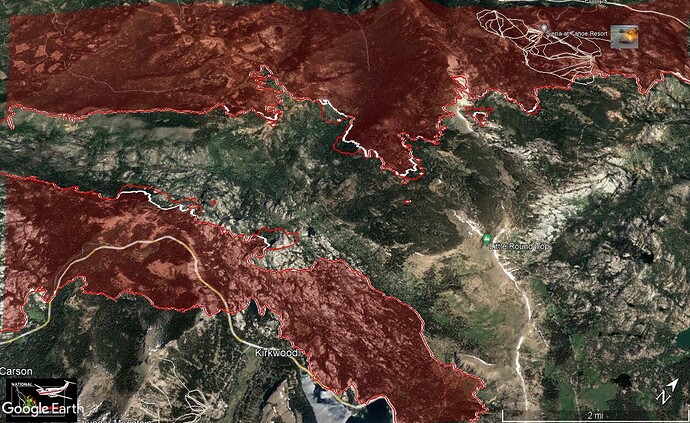
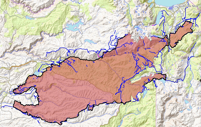
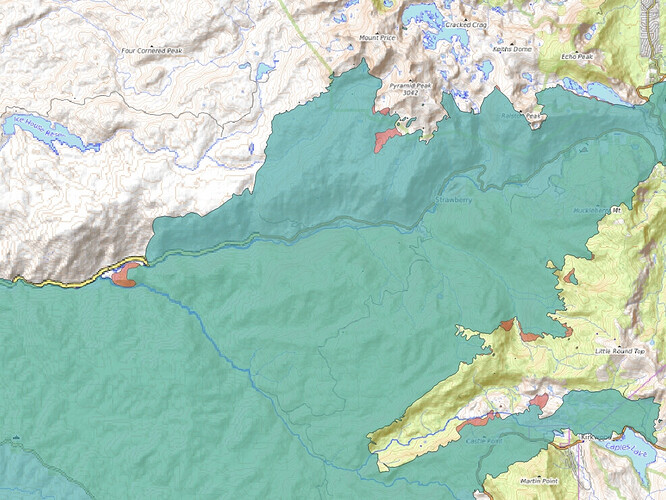
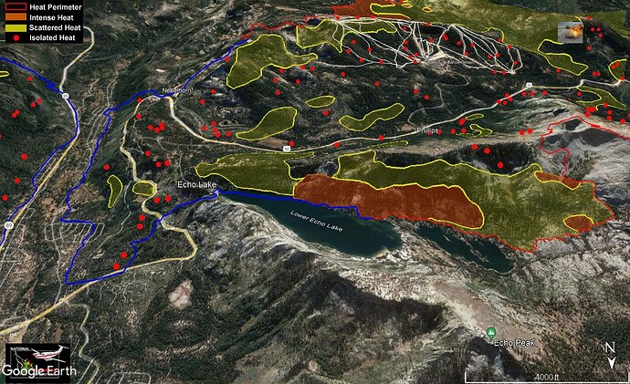
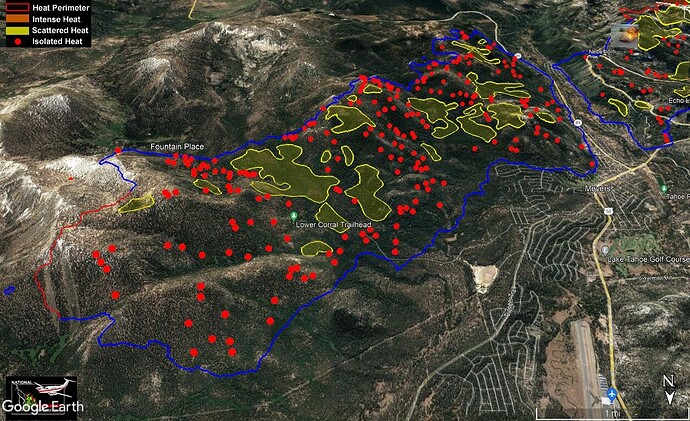
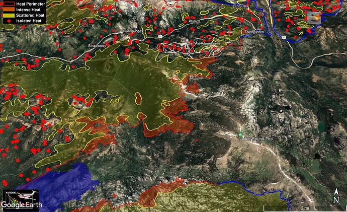
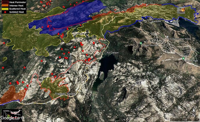
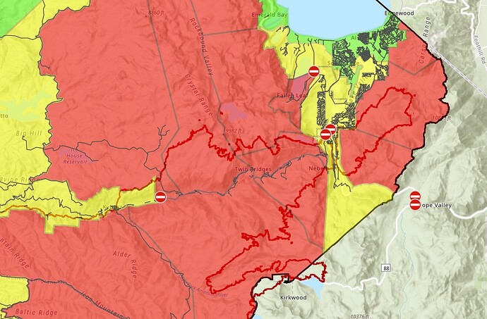
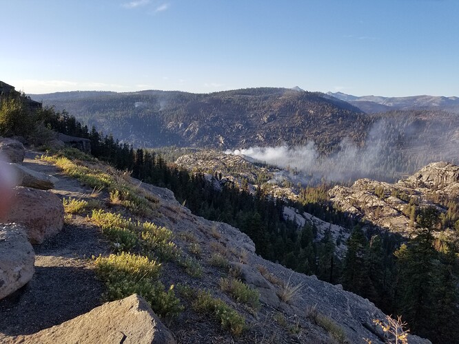
KML files filtered from 20210910 data package found here:
https://ftp.wildfire.gov/public/incident_specific_data/calif_n/!CALFIRE/!2021_Incidents/CA-ENF-024030_Caldor/GIS/IncidentData/20210910/
For import into CalTopo, Google Earth, etc. Can’t vouch for how accurate they keep the data vs what’s really on the ground.
Contained Line. There are 57 entries vs 56 yesterday.
Completed Dozer Line. There are 744 entries vs 717 yesterday:
Completed All Type Of Line. There are 1174 entries vs 1128 yesterday:
Planned All Type Of Line. There are 20 entries vs 19 yesterday:

