State ID: CA
3 letter designator: SKU
Fire name: Slater
Location: Near the Slater Butte Lookout
Reported acres: 15
Rate of spread: RROS
Report on Conditions:
Structure threat: unk
Resources:
Hazards:
Weather:
Radio channels:
Scanner link: https://m.broadcastify.com/listen/feed/7860
Webcam link:
Agency Website:
Better Scanner Link:
75-100 Acres, approx 100 Structures Threatened
This should be a KNF incident. Deep in FRA
Siskiyou County Sheriff’s Office
40m ·
EVACUATION WARNING - HAPPY CAMP AREA
EVACUATION WARNING IN PLACE FOR A VEGETATION FIRE NEAR THE SLATER BUTTE LOOKOUT. RESIDENTS IN THE AREA OF INDIAN MEADOWS UP TO THE SOUTH FORK OF INDIAN CREEK BE PREPARED TO EVACUATE.
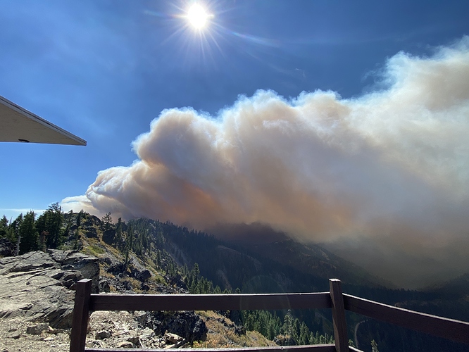
500+ac long range spotting evacuations in progress
Evacuations as of 1035hrs Per KNF Twitter acct.
Happy Camp, CA–Slater Fire-- Siskiyou County Sheriff’s Department issued the following: “EVACUATION ORDER IN PLACE FOR RESIDENCES ON BOTH WEST AND EAST SIDES OF EAST FORK, INDIAN CREEK, DOOLITTLE CREEK, AND FOREST SERVICE ROADS 17N11, 18N13, AND 17N17A.” Info. line 530-356 9434
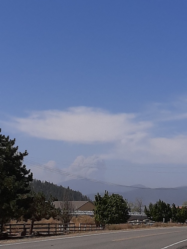
Taken from Fort Jones
ONCC News & Notes 1350hrs:
CA-KNF SLATER FIRE: 1000 acres timber, 0% contained with rapid rate of spread. Structures threatened with evacuations in progress for the town of Happy Camp to lower airport road and Elk Creek. An evacuation center is being setup in the town of Seiad. Aircraft have been unable to fly the incident due to strong winds. A Type 2 IMT on order.
How far is from the beaver fire a few years back
Miles and miles. Beaver was past Hamburg on the way to Yreka.
Ok was just trying to get a bearing on the location.
According to the SOPS news and notes page, CIIMT 10 has been reassigned from the Sheep to the Slater.
KNF Twitter at 1830hrs
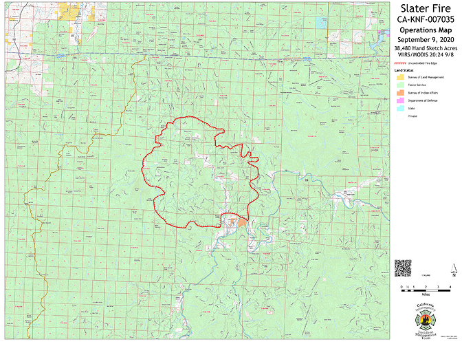
Happy Camp, CA–Slater Fire is currently at 22,000 acres in size. A number of evacuation orders have been issued for various roads in the area as well as the community of Happy Camp. For the most current evacuation information refer to the Siskiyou County Sheriff’s Facebook.
I was there yesterday, and I can tell you that that map isn’t very accurate. Not saying that to criticize, just putting it out there for folks who may be looking at it for information on the status of their property.


