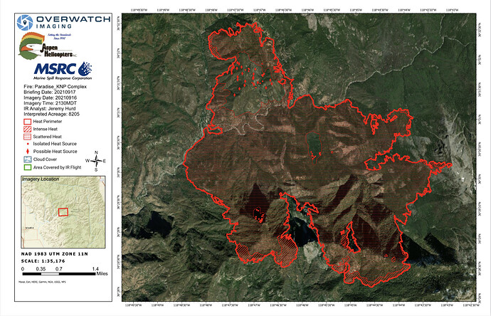
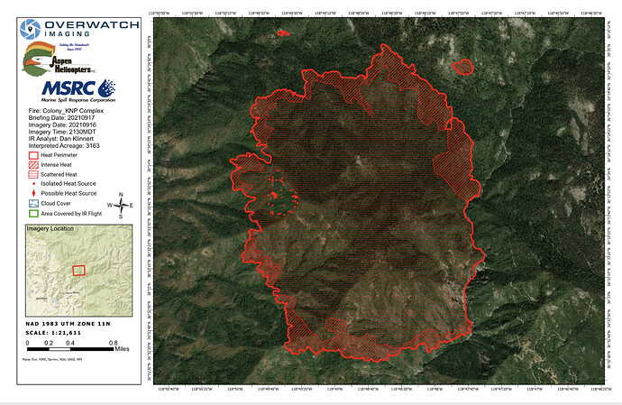
Looking for last nights IR map. Does the Blue Team have a Drop Box? Can’t find this incident on FTP.
Any IAPs for this fire yet? Seems odd that after 9 days I haven’t seen one.
Not all Fed Teams post their IAPs.
SBC 9322C enroute B11,E315,E314,E331,E332,E323
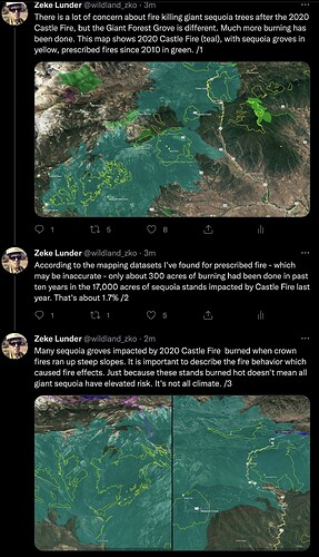
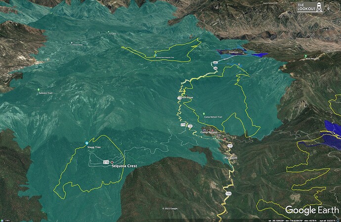
On another topic, I just wrote a little bit about sequoia mortality during Castle Fire. I don’t know the ground at all, and am not trying to become an instant sequoia expert, so I’d appreciate any feedback on this from people who know a lot more than I do. Just some observations based on maps.
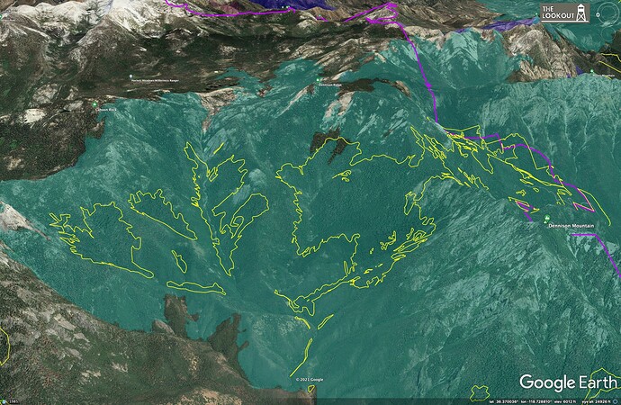
The NPS has some excellent datasets on the SQX mortality using extrapolations and how they got their rough estimates on mortality for trees with >4’ diameter. Yet, slope, aspect and existing tree mortality did not seem to fit into the discussion. When the SQX approached Dennison it already seemed obvious which sections of groves would be the most impacted. The north side of Dennison faired the best, had healthier trees with far fewer fuels on the ground with a more closed canopy / more mature stands - with the exceptions of some brushy drainages. Freeman’s, parts of Dillonwood, and Homers Nose/ Board Camp are on steep South facing slopes with ladder fuels and some of the densest standing dead cedar and fir I’ve ever seen, in any forest. There’s an enormous degree of variability between groves.
In contrast, the sequoias of Giant Forest have seen regular prescribed burns for several decades now. The Muir Grove in GF is in a very different situation than, say, the ill-fated grove in Dillonwood.
I just looked at the IAP and there are no control objectives. Normally you have management and control objectives for a fire and it helps guide everyone. Without control objectives the IC/Park/Ops must be in management mode only with no real desire or hope to control the fire. Any ideas from the group?
I am on the fire. Briefings consist of “we are looking for options. And priorities. No box. ie, keep the fire f D out of, west of, etc. all I. An say is it’s a good thing it isn’t August, we would be losing a ton of structures.
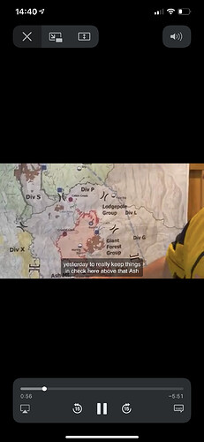
Am I seeing the map wrong on the FB briefings? The divisions look like they’re backwards on the fire. And can anyone expand on the purpose of the “groups” listed on the map as well?
Quick reference ? Are you looking at the ops map or the IAP?
I was wondering the same thing. It looks like their divisions are set counterclockwise. I’m sure there’s a reason for the deviation…
XSN 2378 Charlie responding to the KNP complex, SRS SON CLV SCY LKV PTL
Anyone have a link to an incident action plan that isn’t password-protected
Here’s todays ops map, IAP is still pw protected.
The park uses groups In fire protection plan, compared to divisions or branches, ie work areas

