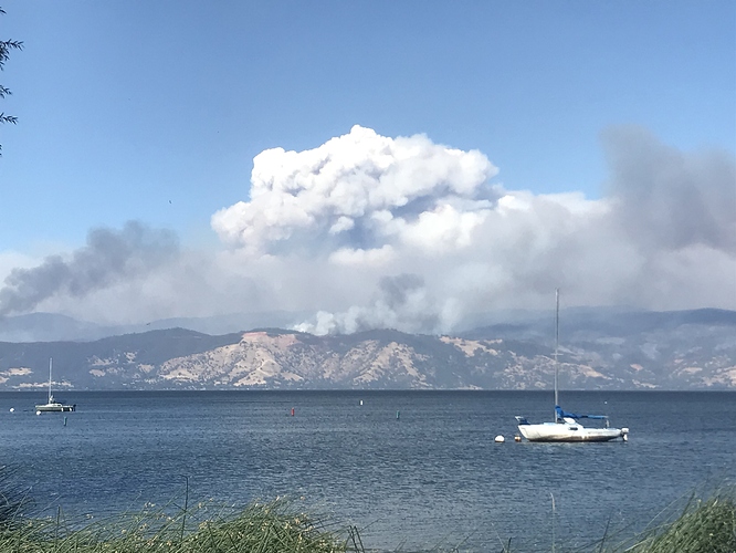
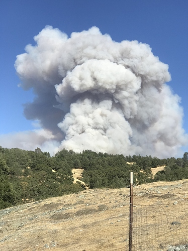
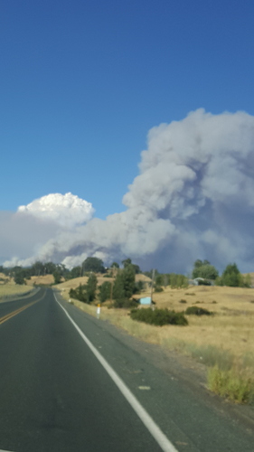
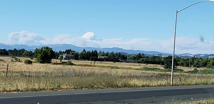
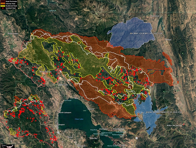
Wish this were a link instead of screenshot so I could zoom in & out. Thank you for your shares though.
Here’s the link to the folder where they keep the IR maps.
(A Mod.Capt.Wife  )
)
https://ftp.nifc.gov/public/incident_specific_data/calif_n/!CALFIRE/2018_Incidents/CA-MEU-008674_Mendocino_Complex/IR/20180804/
This is what I have bookmarked. You can find all the goods.
Type 1 IMT ordered for this fire. Federal.
Jerry McGowan CAIIMT 1 ordered and inbrief tomorrow. Y
Live
Live
As I predicted, it’s made its way back into the SRA on the Colusa side into the Leesville area. I was 24hrs off my prediction. With the limited resources available and so many WUI fronts being protected, this just upped the complexity of this incident quite a bit.
Stonyford winds have been NW 3-10, gusts 5-24 through the evening and last night. Refer to the Stonyford RAWS for what the winds are doing in that area. IR map shows quite a bit of spotting with MODIS filling in the gaps so it must have blew in with some significant wind.
I’m trying out some new ways to push out daily IR map data.
Here is a link to a single IR map with IR for all of the current major fires in Ca.
http://www.firemaps.us/files/IR.html
Very nice. Thank you!
Portions of the Ranch Fire ran over 9 miles yesterday toward the East. The NE flank is starting to hit the 2012 Mill Fire, shown here in Blue.
2018 Pawnee Fire also shown in Blue - lower left.
The white lines are the 24 and 48hr growth at time IR was captured last night.
Thank you for your work
Pyrogeography and Norcalscan, thank you for your fantastic input. You both provide exactly the kind of info I am looking for as a firefighter mom at the southern end of the Central Valley, keeping tabs on my No Cal son.
Great website! How often is it updated with the latest modis data? And is there a reason the Donnell incident isn’t showing?
Donnell is in Initial Attack section.

