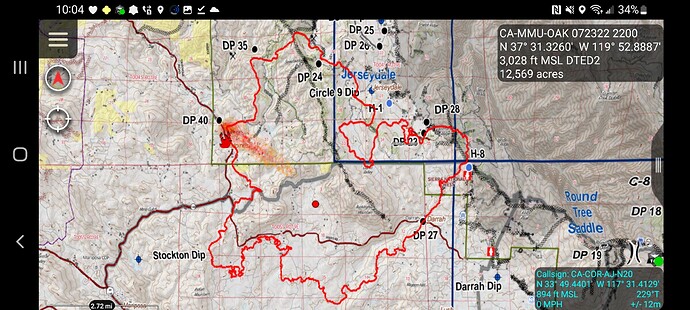
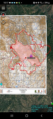
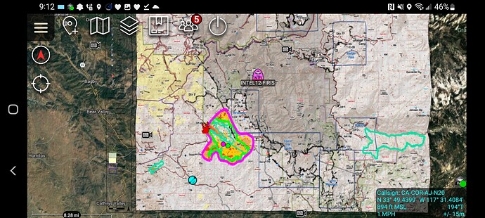
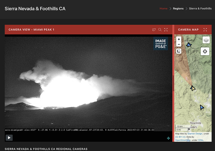
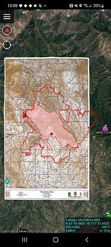
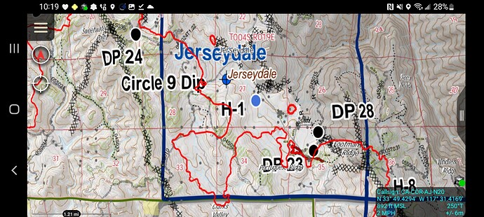
FIRIS finished 12600 acres this is laid over the Ferguson Ops map
I didn’t realize how important my creative writing classes were until I became a Planning Section Chief. Artfully describing the situation is key.
Santa Cruz County local government type 3 toned out at 03:00
There is not a public facing website. You can view critical orders on any site that uses the 209 information. In the interest of trying to put the worms back into the can, and since I have a day job, I won’t continue to answer all of the IROC order questions. Nothing personal @Cauby43. Good luck and stay safe.
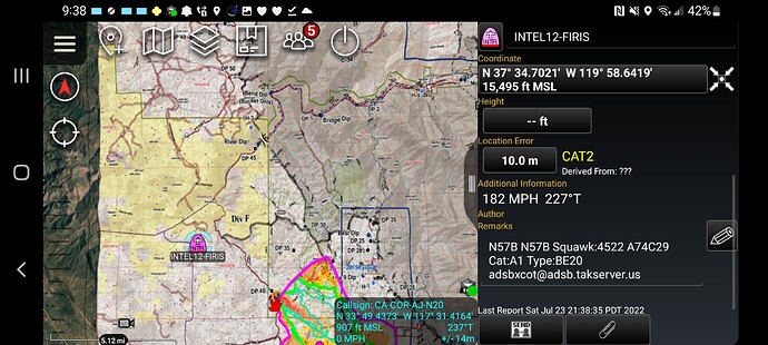
N57B Army, flying the fire gridding…mapping updates from the Guard?
Yesterday they flew the Washburn for Training.
@ 22:45 The USFS recon plane N149Z is over the fire with grid pattern.
It may be the night rescue ship flying to get oriented to the fire. I believe that is what the guard was on the Washburn for.
I believe OES is leasing that plane from the military for the use as FIRIS.
@Cdftim FIRIS is operated by AEVEX aerospace. AEVEX also is the contract for the USFS Firewatch program. They are a private firm that does a lot of work in the defense industry but they are not the military.
Thank you for the info. I thought OES had a few mapping planes recently. I might be wrong.
They do they are contracted through Aevex Aerospace. OES does not own them. Very common practice.
@kevinlou_fire N57B is FIRIS intel-12 lots of sub leases for aircraft etc in this space. Its Aevex as the contract with OES.
@apx8000 ah I saw on flight radar they have “US Army” associated with this tail number. Im sure its done its fair share of mil contract work overseas.
12,597 acres per FIRIS.
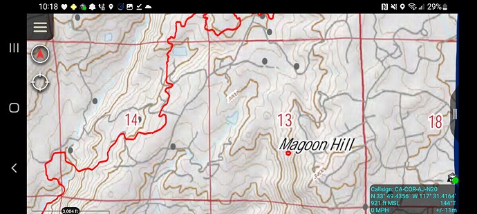
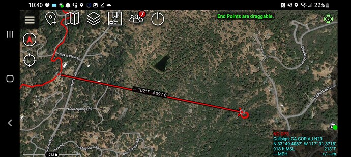
Some of the spots this is over ferguson map
Looks like this spot has been here for a bit but i never picked it up. Been on previous mapping missions.
That spot was reported the first day at sunset as on Clouds Rest Road. I posted it. AA couldn’t see it and I did not hear any further traffic to follow up that units were there or responding. Looks like someone contained it.

