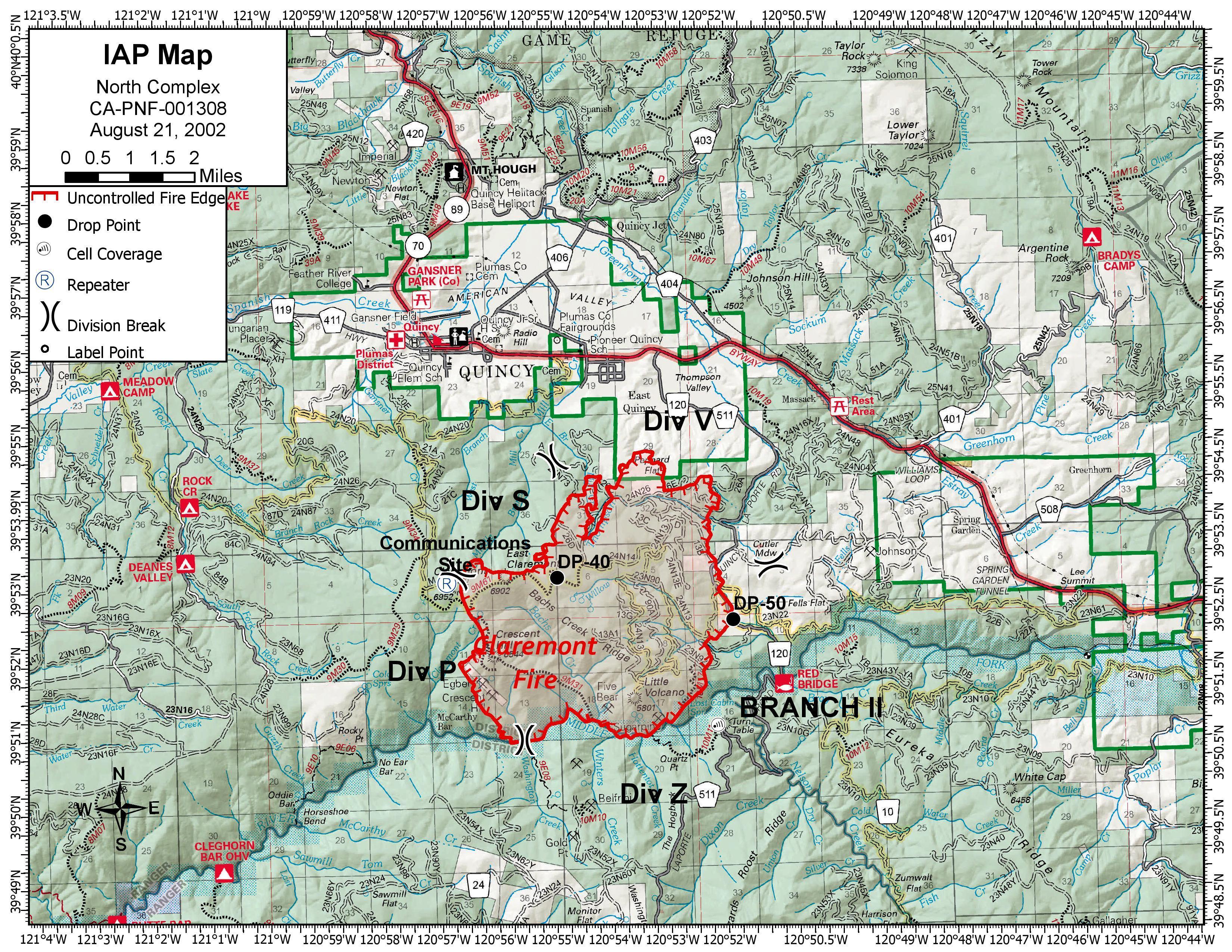
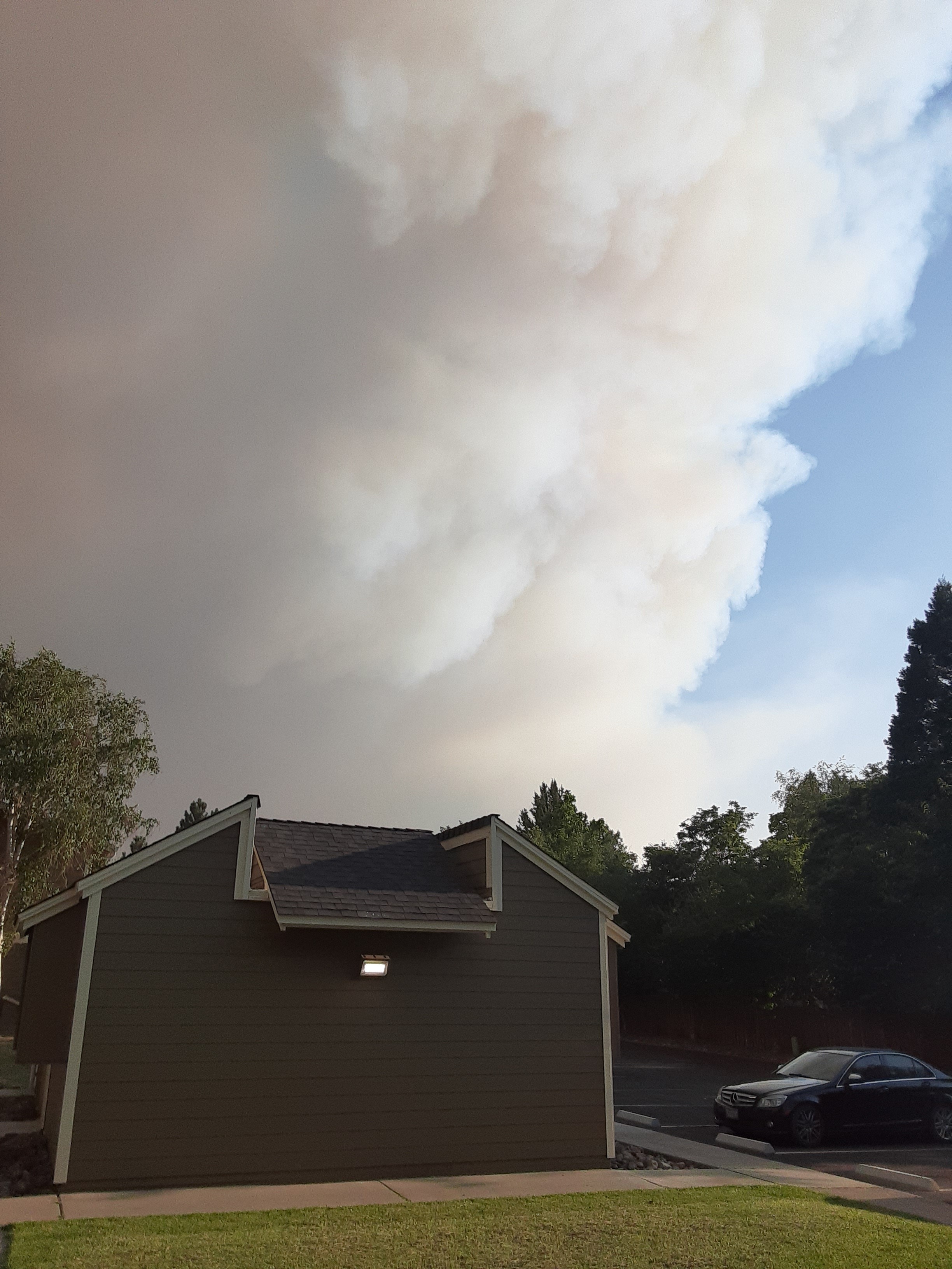
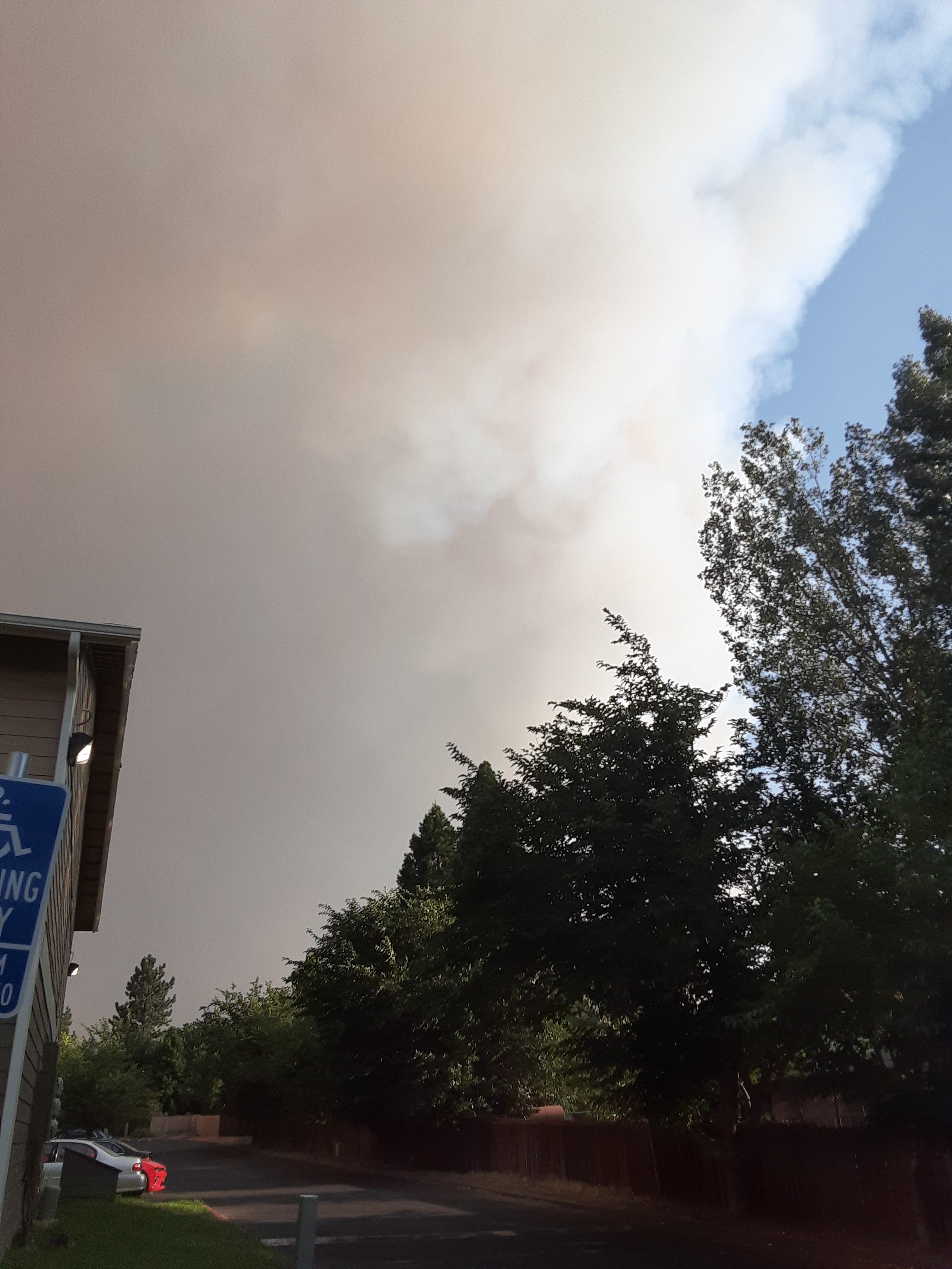
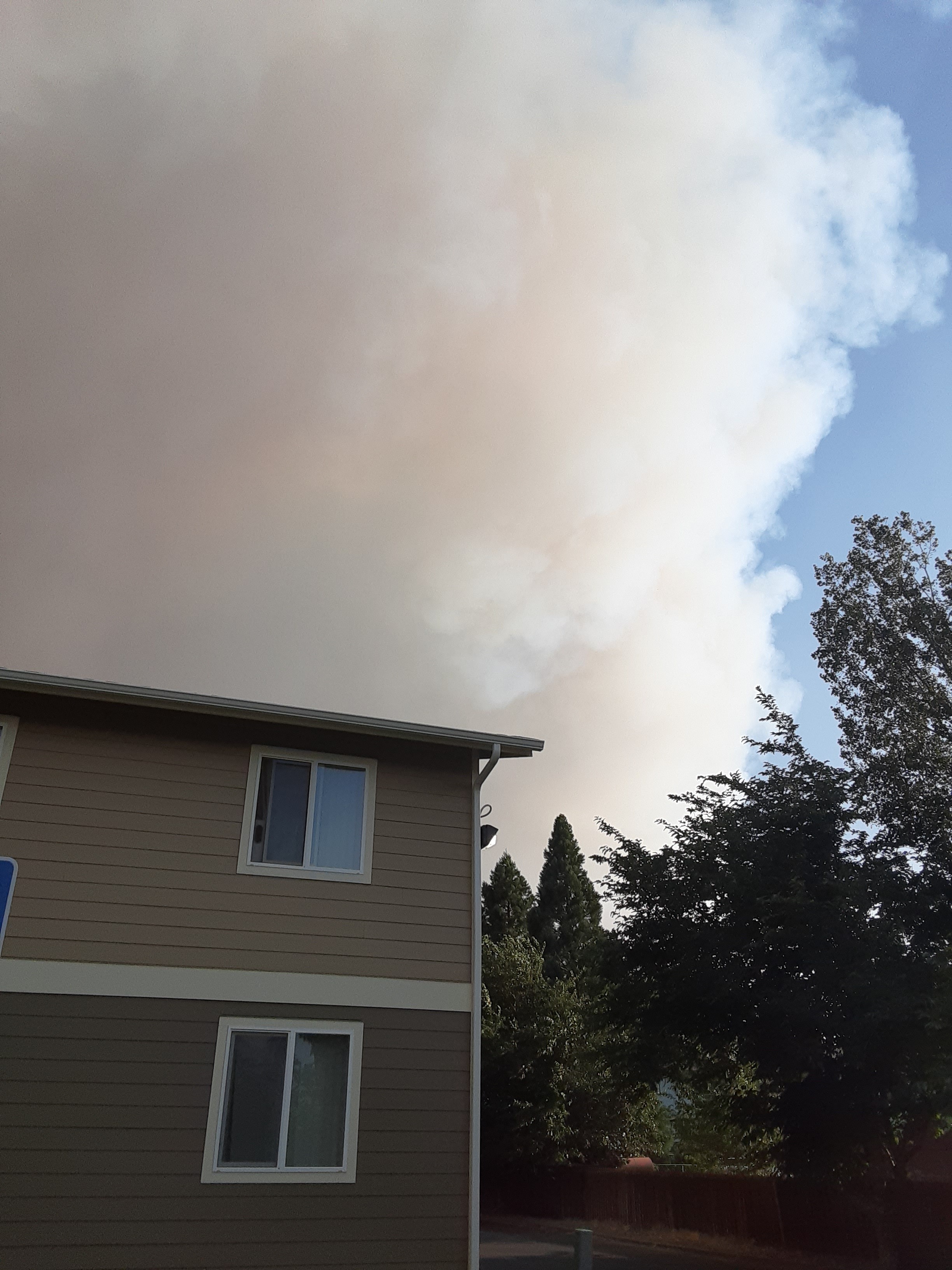
Smoked in pretty bad this AM in Quincy. RH in low 40’s at my place. Fire was backing down ridges around E. Quincy last night.
Yes California Team 1 has taken all the lightning fires on the Mt Hough Ranger District. There 24 starts and about 10-12 still active. The largest are Sheep near Susanville, Claremont south of Quincy, Iron south of Taylorsville
Exactly, if money matters more than protecting communities then there is a problem.
1 Like
Concerning the Claremont…
Just spoke with some “in-the-know” types. They pulled the plug last night when the sh_t seemed to be hitting the fan above east Quincy but fire behavior moderated fairly quickly as it turned into a backing fire down the north slope. So they kept the VFD for the 4 hours and then released them. (Not Albuquerque.)
Getting crews from the Loyalton Fire and some more DIVS now in place as well as some additional rotor wing aircraft. Fire behavior minimal last night. Some spots over LaPorte Rd. were all picked up. Indirect Dozer line going in behind E. Quincy and maybe going to use the old Minerva Fire lines to come off the ridge to tie in the West flank. Going to let the fire back for now. No firing planned. Biggest concerns are still wind pushing fire to NE and if it crossed the Middle fork of the Feather to the South.
T-storms predicted for this weekend however…
6 Likes
Susanville has expanded the evac order
Link? Or more information? Town of Susanville?
Per CHP scanner, evacuating greenhorn ranch and several other residence in that area.
T944 is circling just outside the area. Any idea where it’s assigned?
Looks like it didn’t drop. Visibility’s probably too low, especially for a VLAT.
1 Like
info
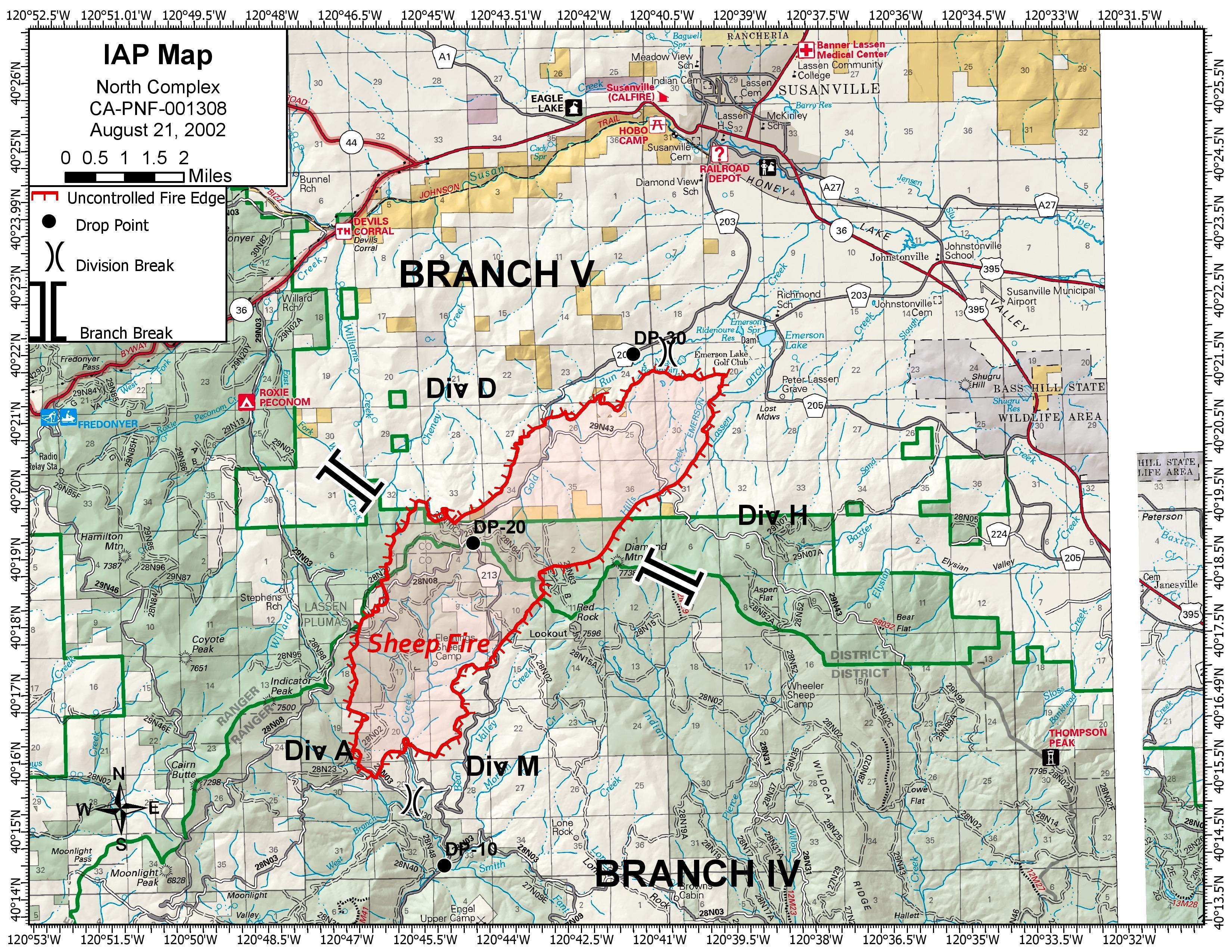
Map for Sheep Fire

1 Like
- Nice.
3 Likes
Yeah I noticed that too. Link makes it clear its 2020 though.
Sheep Fire from Susanville Antelope cam
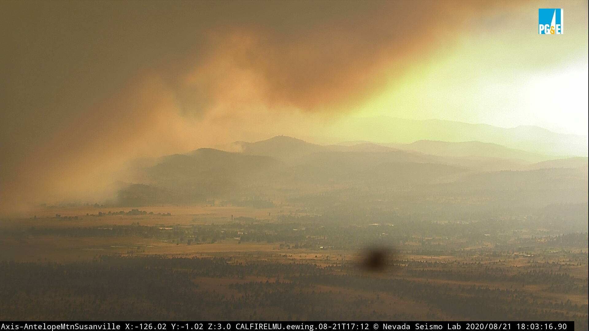
http://www.alertwildfire.org/shastamodoc/index.html?camera=Axis-AntelopeMtn&v=81e002f
1 Like
1 Like
Per the scanner, they were trying to hold it on Div D using a dozer line and hose lay. It is spotting across the line, they are pulling back and regrouping, looking to come up with another plan. Div D is the northwest side of the fire, closest to Susanville.
Edit: The Antelope Mountain cam show above is now completely smoked in.
1 Like
If you’ve been following this fire recently (I used to live in Susanville), Antelope Mountain has been smoked in completely for 3 or 4 days! Two nights ago, you couldn’t even see the lights in town or the fire are all in the dark.
1 Like