No the Bear and the Claremont had met 5 or more days ago. From the video and guesstimate, this is fire pushing downstream from the lower side of the Bear fire.
Thanks, I haven’t been keeping up on the Bear. So this is burning down the Feather River Gorge?
Down the Middle Fork and it looks like it’s out of the canyon on the south side.
Have lots of friends in that path…lets hope it doesn’t make it that far. Oroville is getting lots of ash fallout
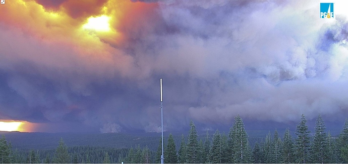
Judging from cameras, it has spread 12-14 miles, still about 20 miles east of Oroville. We’re looking at another 24 hours+ of east winds, we shouldn’t be surprised if it burns to the Valley floor.
https://www.wrh.noaa.gov/map/
Not too many RAS in the area looks like winds could be 40 to 56 MPH for the Claremont-Bear.
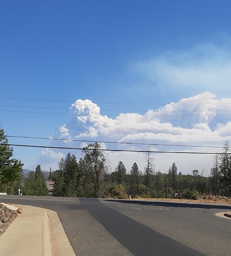
Just to put some perspective on this wind event and energy being developed at the moment on this fire, we have ground level smoke and ash fallout in Rocklin, which is roughly 70 airline miles away.
And most of the smoke is going farther north than you. You’re getting little bits from a couple big puffs that went up awhile ago, check this out:
https://rammb-slider.cira.colostate.edu/?sat=goes-17&z=5&im=24&ts=1&st=0&et=0&speed=190&motion=loop&map=1&lat=0&opacity[0]=1&hidden[0]=0&pause=20200908200032&slider=-1&hide_controls=0&mouse_draw=0&follow_feature=0&follow_hide=0&s=rammb-slider&sec=full_disk&p[0]=geocolor&x=13211.5&y=3097.5
New evacuations due to the Bear fire.
FWIW… Plumas County (Quincy) is part of PGE’s current PSPS so they were expecting the winds.
Currentclosest RAWS Station Franklin Hill:
Temp:
89 °F
32 °C
Dew Point:
23 °F
-5 °C
Relh
9 %
Wind Speed:
23 mph
20 kts
Wind Dir:
NNE
30°
Gust:
42 mph
36 kts
Heat Index:
84 °F
Per Ops, the spot by Horshoe Bend has already run 15000+ acres.
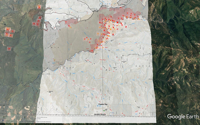
Here’s MODIS/VIIRS from roughly 2-3am this morning, on top of the PNF North IR perimeter from 2215 last night. Sort of gives you an idea of where the heat was. The Bear fire stayed to the north side of the river. Not sure if some of that reburned in this, or this is all strictly south(east) of the river.
There’s some reburn, but it’s mostly the new run south of the river.
New evacuations ordered due to the Bear fire.
1540 Camera views and targets are putting good flame on Lumpkin Ridge area, north of Camp Eighteen. Butte SAR is setting up ICP for evacs all in that area. They have not been getting much official intel from this out of PNF/Plumas and sort of aiming in the general direction trying to get proactive on this thing.
I have to say, this IMT seems to have been quite controlling with information. Not nearly as communicative as their predecessor.
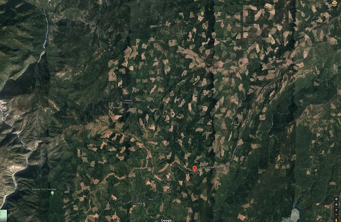
In the current view on Lexington Cam, I think you can see spots becoming established in individual clearcuts and quickly becoming 20 acre fires.
http://www.alertwildfire.org/shastamodoc/index.html?camera=Axis-LexingtonHill&v=81e004f
Fire is burning across this landscape.
Scanner links ? Have friends very near the new evac order


