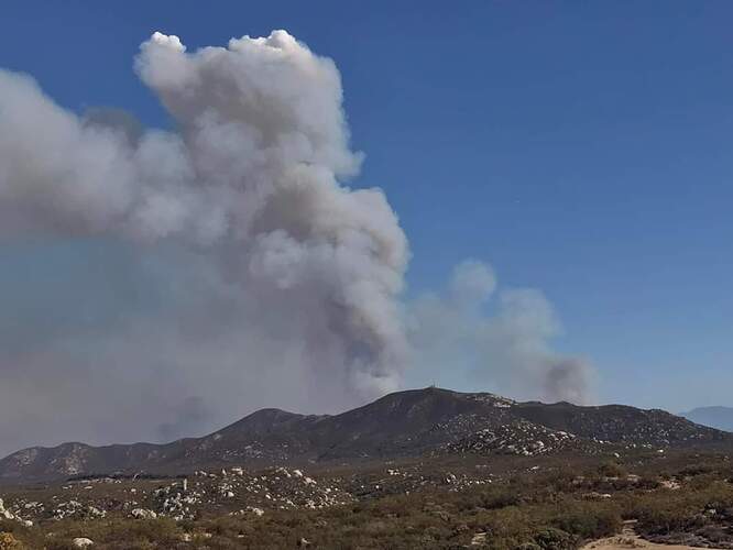
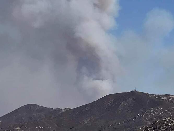
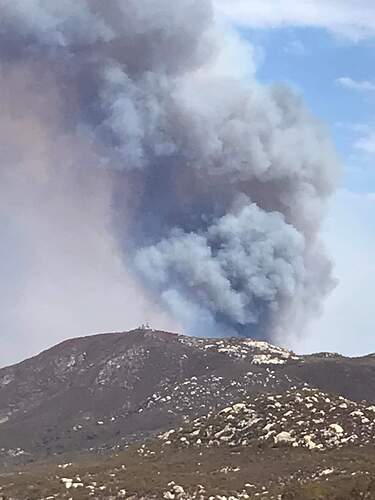
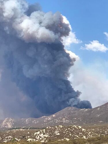
She’s up and active early, looks like they either started some firing on the SE corner or it’s backing with some decent intensity
Column capped out around 10am, viewed from the Idyllwild 1 camera. Going to be a “dynamic” fire day to say the least. Looking at fire history maps, either no recorded fire history, or last fire in 1920s in the area going up to 74.
If it goes to 74, runs into the 2018 Cranston scar. Moderate re-growth after 4 years, but far less dense fuel bed than what the fire is burning now. Was in Bautista Canyon when the fire spotted over, and it got sporty, to say the least. Makes sense why IC drew a big box for this one. Be safe all!
B Canyon went to Idyllwild and Pine Cove in the 90’s. Also Batista Canyon, South of Thomas Mt., and South of Lake Hemet has had some good fires late 80’s and early to mid 90’s.
Looking at weather forecasts, could be doing debris flows and swift water work Fri/Sat.
weather changed slightly supposed to stay more offshore
Can someone please provide an interactive map? Perimeter is not on firemap or caltopo
https://www.alertwildfire.org/region/inlandempire/?camera=Axis-Idyllwild1
Looks like it might be doing a reverse hook back North right now on the East side of Bautista into Valle Vista
AA states 200 acres burned in 40 seconds
Radio got real quite.
Looking at the city’s around MVU, most of their T3’s are gone to. Not gonna be good for MVU.
County Type 3s and 6s staffed?
A lot of equipment out of county… Very similar to what happened in 2003, then the Cedar Fire hit
With 1”-3” of rain possible as well
More than likely strike teams are in route for coverage
Dare I say CSR or at least a local.
Breached the ridge North of Red Mtn lookout, running hard to the west North of Red Mountain Road, did a lot of fuels work in there and its nightmare. Just got mandatory evacs out but behind the curve to get people out and equipment in there. Local facebook group video shows it in that massive brush field below the look out to the west of the lookout.
Is this still being run on RRU2?


