If all 17 of those 1 km by 1 km squares is fully involved that would be 4200 Acres. They will be.
2 Likes
At 1735: AA estimates 3000 acres at the moment.
I have SHF Forest on highest priority on the norcalscan.live scanner for the moment, Air Tactics and Air Ground on there as well but as this thing moves north I lose them to the terrain and their aircraft belly shields the antenna on half their orbit…
A post was merged into an existing topic: CA-SHF Delta??
They are requesting transfer of command to Hirz command freq.
Will stay with IA freqs through the night and switch at 0600 tomorrow.
1 Like
Observations.
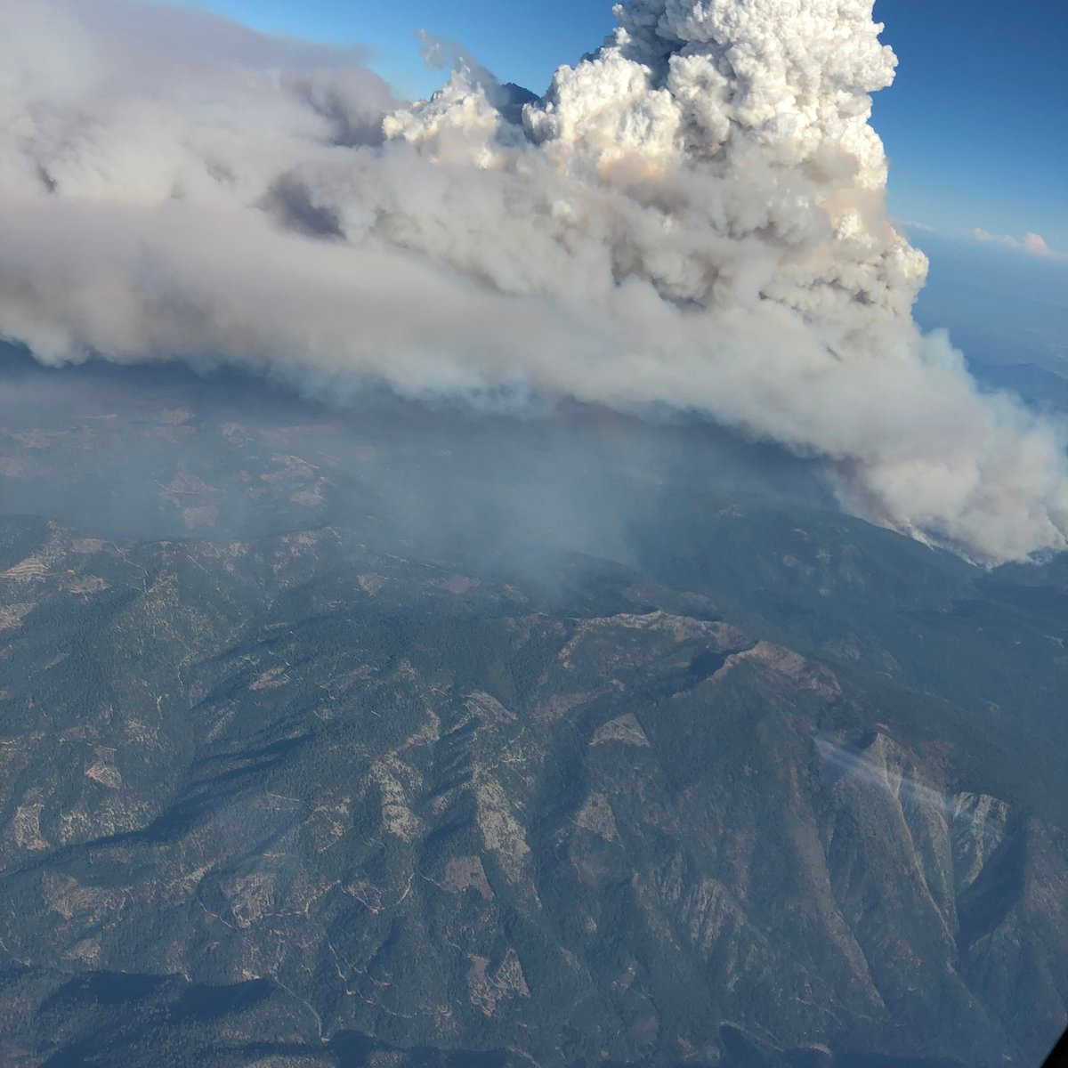
The delta has had a sustained pyrocumulous for 3 hours without collapse. Estimated at 15000 pyrocumulous top.
In last 25 minutes fire activity or acreage has dramatically increased. Pyrocumulous approx double altitude increase to 30k ft.
Upper levels shearing to North East
5 Likes
The Latest from Inciweb
Current as of 9/5/2018, 5:55:48 PM
Incident Type Wildfire
Cause Under Investigation
Date of Origin Wednesday September 05th, 2018 approx. 12:51 PM
Location North of Lakehead
Incident Commander Young/Bosenko
Coordinates 40.923 latitude, -122.408 longitude
Current Situation
Total Personnel 600
Size 2,000 Acres
Fuels Involved
timber/brush
Outlook
Remarks
The fire is under unified command with U.S. Forest Service and Shasta County Sheriff’s Office.
Norcalscan - The feed is sounding good, but the canyon will mess it up as things go along.
Luckily, it has an old burn scar to go into to the west. Ridge access up on top of that area should be reasonably good. Between Hirz and the burn out areas north of Carr, hopefully it can be boxed in to this area.
CIIMT 5 now taking command of the Delta Fire along with the Hirz FIre. 18:00 update is 2000 Acres and 0% containment. CHP reporting several Big Rigs and vehicles that have burned on I-5, indicating long term closure of I-5. 600 Personnel on fire, per SHF PIO.
5 Likes
Not only prolonged closure for I5 but also Union Pacific RR main line north/south in the canyon is shutdown. Lots of shipping up the west coast corridor just stopped or got huge delays running Hwy 89 to 299 back down to Redding (if they have enough hours to drive that 2.5 to 3hr detour.)
1 Like
CodeRed evac advisory just went out for Dunsmuir.
Video with mayor and Sheriff Lopey
CLARIFICATION
From Sheriff Lopey
“Advisory/warning”
“Not anticipating evacuation”
“Still 15 miles away”
Please ensure posts are clear and accurate with factual information.
Many people will be stranded because of
I-5 closure and will be looking to this site for information.
Keep up the great flow of info.
6 Likes
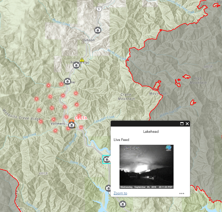
Hey all - I’ve added a few layers to this map to help with situational awareness (CalTrans closures, CHP feed, Traffic cams). I hope this helps! The traffic cams give a pretty indication of where the fire has grown.
Map Link: https://arcg.is/ST8Pb (bookmark and check back for updates)
Screenshot
6 Likes
Good info. Got a lot of nervous people out there.
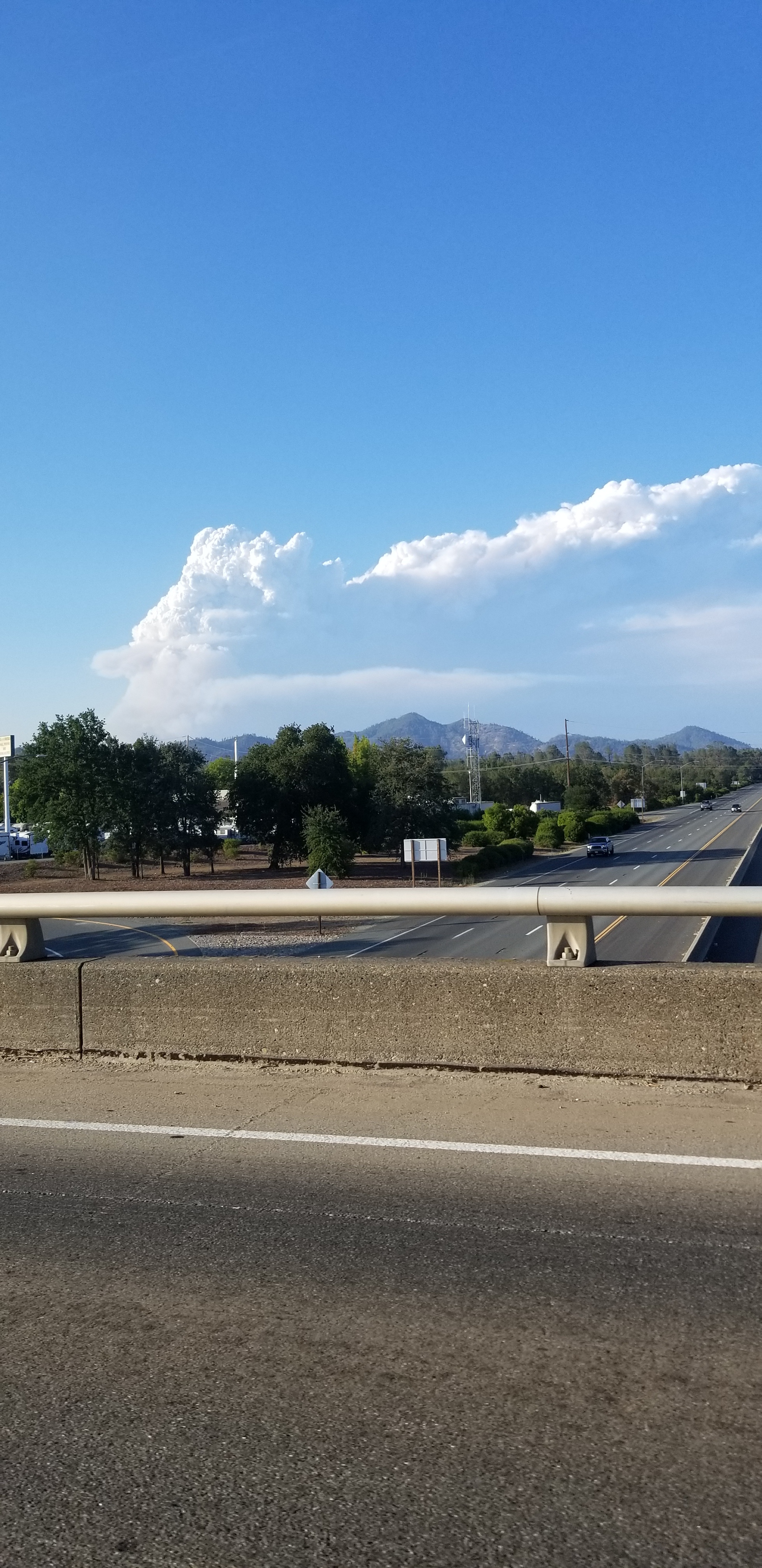
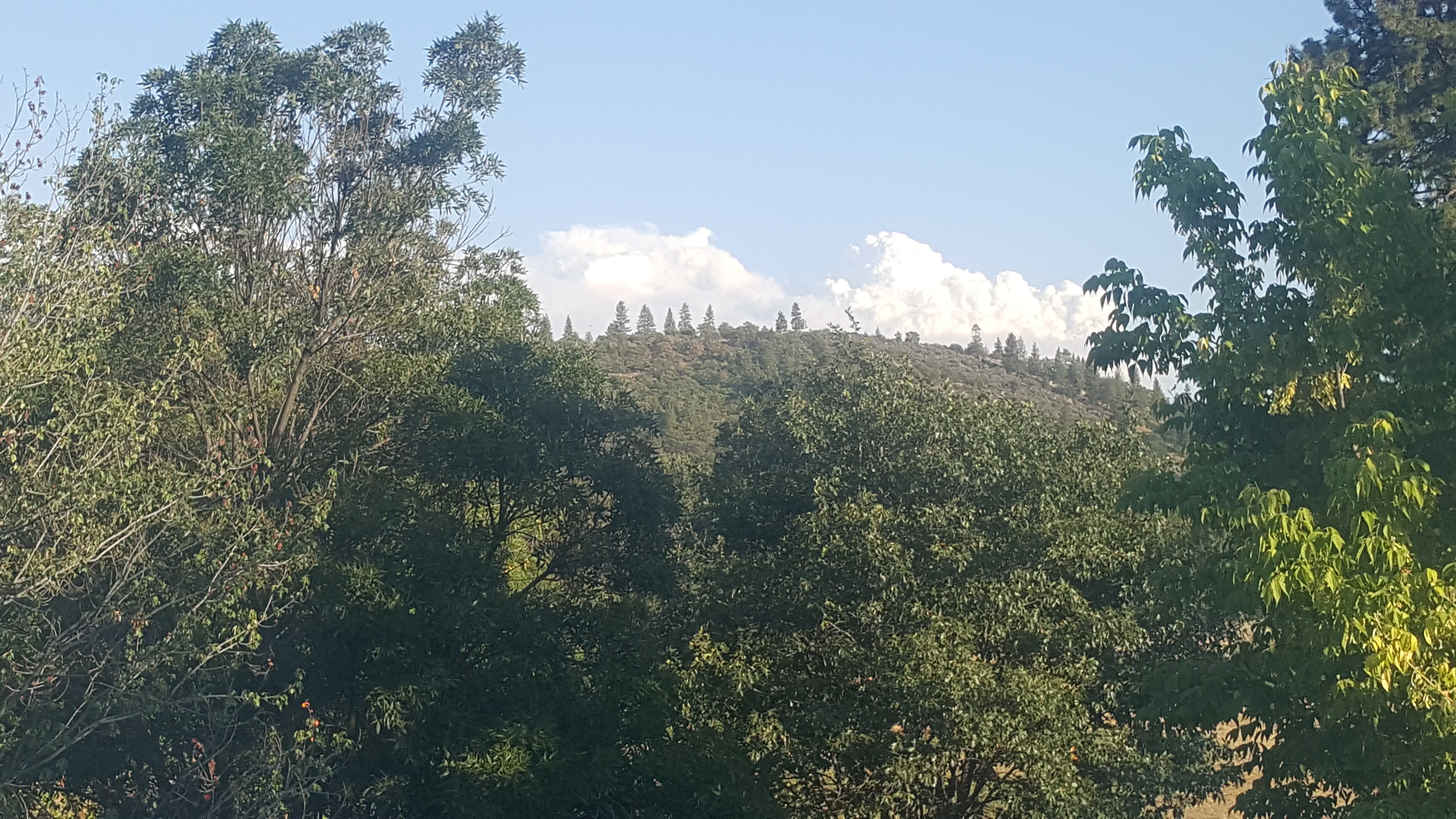
Pictures moreso than words
Delta photos Redding.com
3 Likes
A post was merged into an existing topic: CA-SHF Delta??
3 posts were merged into an existing topic: CA-SHF Delta??
Update from SHF at 22:00- 5,000 Acres, 0% containment. Next 12 Hr Period: " Rapid rates of spread to the north into Salt Creek and Pollard Flats, east towards Greens Mtn/High Mtn and west towards Damnation Peak and Slate Creek. Continued northerly spread impacting additional sections of I-5 and the Union Pacific railway."
Next 24 Hour Period: “Continued spread to the north into Slate Creek, east towards the Hirz fire footprint.”
Weather: winds 6-12 gusting to 15. RH expected to increase to 37-42% overnight, with a drop in the 10 -18% range for tomorrow, 95 -102 degrees, coupled with unstable atmospheric conditions in the afternoon.
Here is last night’s IR map:
15000 acres at 2200 hours! Wow!
3 Likes