Thank you kind person
Morning briefing with Tulare Co Chief, states no losses in Camp Nelson/Pierpoint and none in Ponderosa either. Structures lost/damaged and intact:
Alpine 50 lost, 14 standing, Sequoia Crest 42 lost, 59 standing, Cedar Slope 46 lost, 15 intact.
Hoping for a full damage assessment in @ 48 hours.
Any IAP link. Interested in seeing the plan…
Mandatory evacuation order issued for for Silver City and Mineral King
Tulare County Sherriff Facebook
133,488 acres and 12% containment.
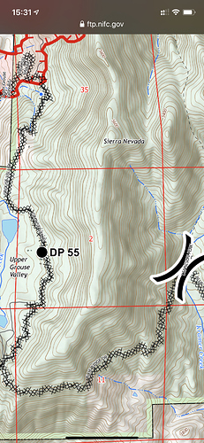
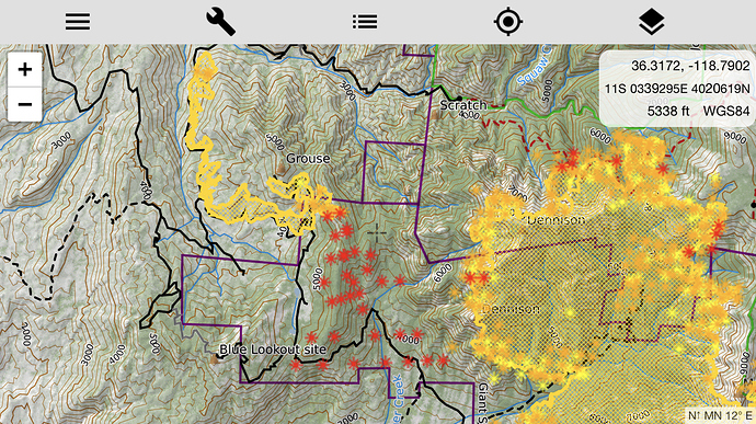
East Zone update: Ponderosa and Camp Nelson still no lost structures. Same for Pyles camp and Lloyds Meadow area. Continued “point protection” in place. Contingency line being worked on to the south on the Tule reservation along the Crawford Rd. Fire now established in the Coy Compartment upslope of the 21S94 which has lots of bug kill and is threatening Rogers Camp and Mtn Aire at the top of Coy.
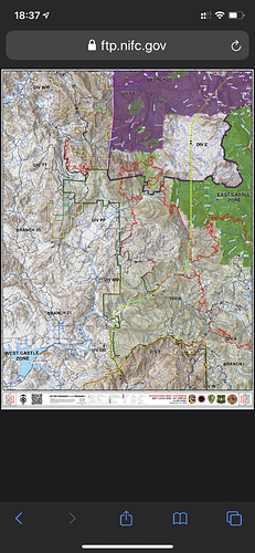
East Zone IAP (SQF) link: https://ftp.nifc.gov/public/incident_specific_data/calif_s/!2020_Incidents/CA-SQF-002622_SQF%20COMPLEX/IAP’s/SQF_IAP_19_to_20.pdf
Burn out ops underway? From Blueridge cam, there’s some good building columns :
http://www.alertwildfire.org/sierra/index.html?camera=Axis-BlueRidge2&v=81e004f
Notice that this cam stopped at the posted hour. Watching the progression from 3 hrs ago it comes over the ridge and below in the canyon at same time. This site get burned over?
Looking north from Blue Ridge toward Dennison and unless things changed drastically from last night, my bet is a firing op…
Yes firing op- started about 2 hours ago.


