The McNally fire did jump the main Kern around Kern flat and burned to Hockett peak. The Flat fire in 1975 took out all the Flatiron country north to Trout meadow, it started at the Forks of the Kern.
2 Likes
They’ve got AA51 checking it out now. Wouldn’t be surprised if it’s well past 15k. It’s still ripping up the canyon.
1 Like
AA51 is done mapping and heading back to berdo.
Finally they get some intel, watching the RAMMB it’s still got a lot more heat showing than anywhere else so I think you’re absolutely right about reported acreage on the 209 tonight. After 50 fire seasons this is amazing to see what’s happening across the state.
4 Likes
Is this getting close to Nine Mile Creek?
Its basically there were nine mile meets the Kern.
1 Like
Copy, I fish up in that area. A fishing club I belong to
Has worked on rehabilitation in the creek for about 12 years.
1 Like
15,000 acres per inciweb.
Tuesday evening, August 25, at 6 pm, Forest Service and California Incident Management Team – 12 will host a Virtual Community Meeting to provide information on the Castle Fire in the Golden Trout Wilderness.
Participants in the event include representatives from the Forest Service, California Incident Management Team-12, Tulare County Fire Department, and Tulare County Sheriff’s Department.
The meeting will be live-streamed on the Sequoia National Forest Facebook and Tulare County Fire Department Facebook. Please send your questions in advance and during the meet into 2020.castlefire@gmail.com. We will try to answer all the questions during the event or by email if we run out of time.
Topic: Castle Fire
Date: Tuesday, August 25, 2020 Time: 6:00 pm Pacific Time (US and Canada)
Sequoia National Facebook - https://www.facebook.com/SequoiaNF
Tulare County Fire Department Facebook - https://www.facebook.com/TulareCountyFireDepartment
3 Likes
Looks like your “rough” perimeter estimate was on the mark!
1 Like
So apparently there is a name change, SQF COMPLEX, and that includes the Castle and Shotgun.
2 Likes
Thanks Krnative! https://inciweb.nwcg.gov/incident/7048/
2 Likes
Morning update from the IMT stating fire on both sides of the Kern, with northern perimeter at Hole in the Ground. https://goo.gl/maps/Wg5JcmdTJNTmwn8W7
https://www.facebook.com/SequoiaNF/videos/307611943847228/
2 Likes
Too much smoke between Breck and Shirley Cams on the Alert Network. Old school cam on SWFRS showing some production now from Jordan.
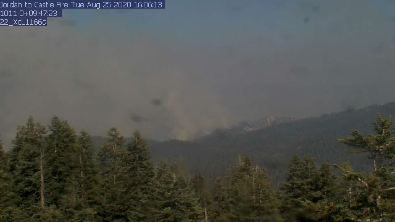
4 Likes
hey capt, you do know that there are 7 Jordan cams???
thanks for the reminder…good update…thanks
1 Like
Oh yes. I look at them daily. My family property is across the Middle Fork of the Tule, adjacent to the Black Mountain Grove. The property is visible on a clear day from cam #4. The SWFRS cams have been around a lot longer than the Alert Cams. The Alert Cams were started in Tahoe by students as a project. Off the Castle topic, I know.
The SWFRS cams have helped me a lot up here. they were invaluable during the Cedar Fire 4 years ago. always a good standby. Like now…
2 Likes
Old school is good for the tool box. for those new to these cams: look at Jordan Peaks 1,2 & 3 and be sure to Update: date and time (does not refresh as Alert)
1 Like
SWFRS was my window to the Pier Fire which burned right onto the corner of our property at the top of Wilson Creek.
3 Likes