Thanks. an 18 year old burn is ready to burn again. we only dropped snags and receptive trees 300 feet on both sides of the line. a lot of danger out there. this fire is moving up and onward.
The east side of the castle remained active through the night and the shotgun fire building pretty good heat already.
Here is a really good mapping program that does look at fire histories.
https://firemap.sdsc.edu/
They’ve since corrected the typo no longer 436,563 acres. 45,698 now.
Wow. This firemap program is a great resource. Thanks for sharing!
Structure Def Branch established. Looks like MAFFS over the fire yesterday. No staff on the north end of the fire in the wilderness. Team FB update link here: https://www.facebook.com/SequoiaNF/videos/4744100442268490/
Some nice aircraft pics taken from Pyles Camp, which is the SW corner of the fire: https://www.facebook.com/rmpyles/photos/pcb.3619288368081647/3619288201414997/?type=3&theater
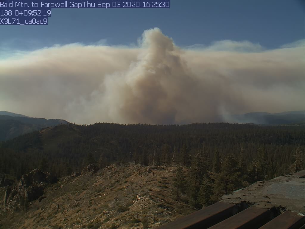
View from bald mountain to olancha peak.
https://rockyags.cr.usgs.gov/cgi-bin/camHist_movie.pl?camera=bald_mountain_2&visible=false&date=20200903&frame=98
really has come alive. be safe out there
looking at: https://firemap.sdsc.edu/
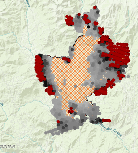
n/e fire edge is burning in direction with no fire history for last 100 years (greater than 1000 ac)
LACoCB how do you sign in to see it?
Top right of map is drop down menu link
Awesome! Thanks so much!
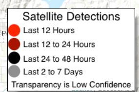
Looking at the 12 hour activity on the fire map it shows activity on the west perimeter. Anyone hearing how well the line is holding on west side in reference to Ponderosa?

Now 46,698 acres. Expected containment September 30th.
More like, when the first snow flies  I’m hoping we get early rains up here!
Maybe the long term forecast is saying snow in October… Gotta be optimistic!
I have not found a Tulare Co or SQF link to this yet, but a FB post just stated evacuation warning for Alpine and Sequoia Crest due to fire growth in that direction.

 .
.
