They don’t order that much for nothing
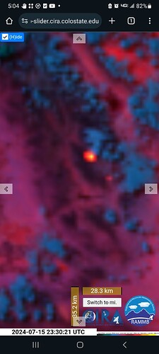
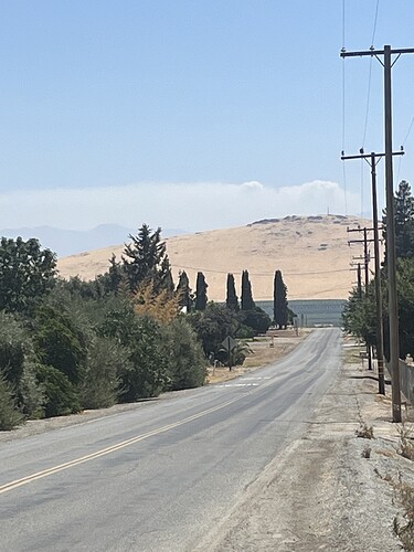
I see smoke building on GOES-18 but, very low heat signature.
Not that it totally helps but if you weren’t aware you can click on the bottom right side of the camera view and it shows a panoramic view of the camera. You can see smoke that way right now.
I’ve tried that on the cam before… still no go.
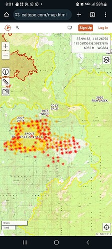
Caltopo shows increased spread and GOES-18 shows a warm up in heat signature. Smoke is drifting toward the north.
https://caltopo.com/map.html#ll=35.9809,-118.31382&z=13&b=t&o=f16a%2Cr&n=1,0.25&a=mba%2Cfire%2Cmodis_mp
So, the tankers were for a marked increase in activity. Radio traffic was low for the Trout.
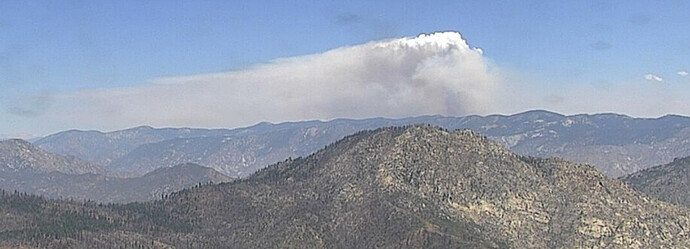
Good view of this afternoon’s increased activity
https://ops.alertcalifornia.org/cam-console/2708
Column laying over pretty good in the wind
AA over the Trout estimates 2,200 acres. Watch Duty has it a bit smaller.
Long Fire= 100 acres SROS.
Everyone likes camp 9 right? That’s where camp is for this.

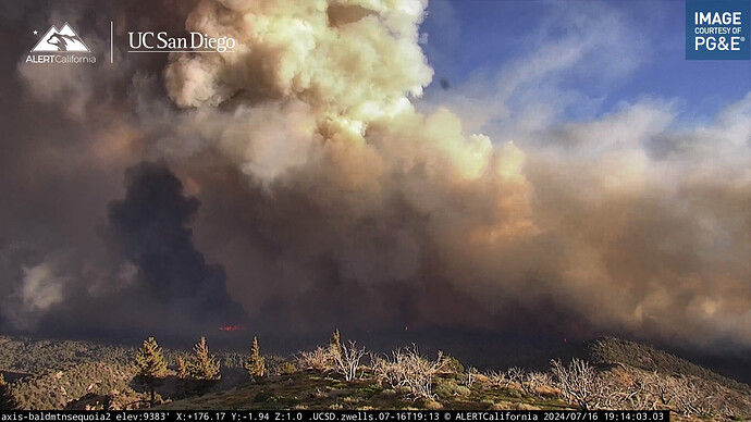
Bald Mtn Cam in Sequoia is even closer. It was rippin 4am this morning.
That’s the camera that shot came from
Liking calfire showing aircraft on the map.
https://www.fire.ca.gov/incidents/2024/7/13/trout-fire
Gained over 2000 acres last night. Now at 7,582 acres.
SQF-Trout: add 124.425 to the AM Victor list.

