Son says winds in the valley (Visalia) are picking up…
Try this site for winds at many elevations in meters. I see low level winds out of the south and high level winds blowing the column south.
Play with Altitude
Don’t know what sensors the data comes from.
Is the fire bumping Boy Scout Camp Whitsett?
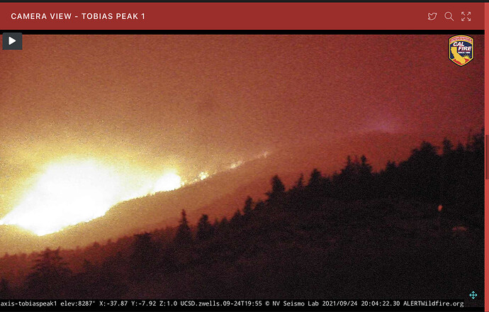
The fire has hit the trail of 100 Giants.
Sometimes it seems like this site beats the team notifications to members.
Rumor was originally Team 5 for a third go at Monument. Then Windy with in brief on Friday. Now Wednesday. And here was me just getting an oil change on my off day…
How long until this ties into the french? Seems like it’s definitely headed that way.
It’s got to get through the cedar burn scar before it gets there, french fire stopped at the cedar burn.
Or go around it to the west.
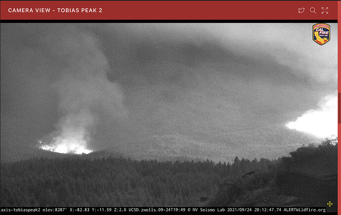
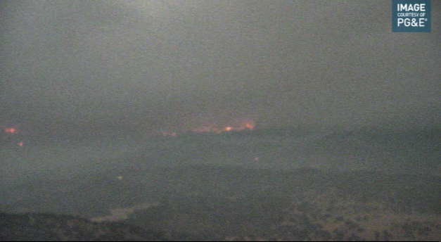
View from blue mountain. Here it comes. Couple of emergency vehicles visible half way between the camera and the fire.
Has anyone had any luck sniffing out any online linkage? Something local and not affiliated with the Broadcastify?
@norcalscan ← How about it Jake… Any hidden gems lurking down that way?
Tobias is back up. Wonder if they’re there to install a FLIR? (Hint…hint).
EDIT: Then again, perhaps not the best spot for the high $ cam at the moment. 
I was saddened to learn of the loss of the Mule Peak Lookout, reported on the 23rd, despite being wrapped. Another historic lookout gone.
Anyone have a good LRA/SRA/FRA map with a fire overlay? Thanks in advance
It’s a long way from any LRA, but if it continues west it will be on SRA soon. No maps, other than what’s in my head from being all over the southern end of this area.
@IMT_Geek its basically your old stomping grounds right? I feel like you could have some answers for some folks here.

