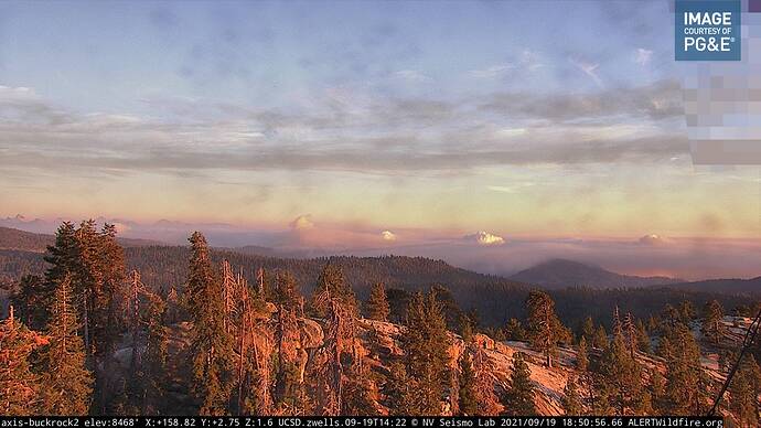
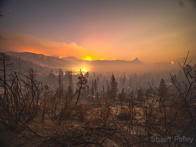
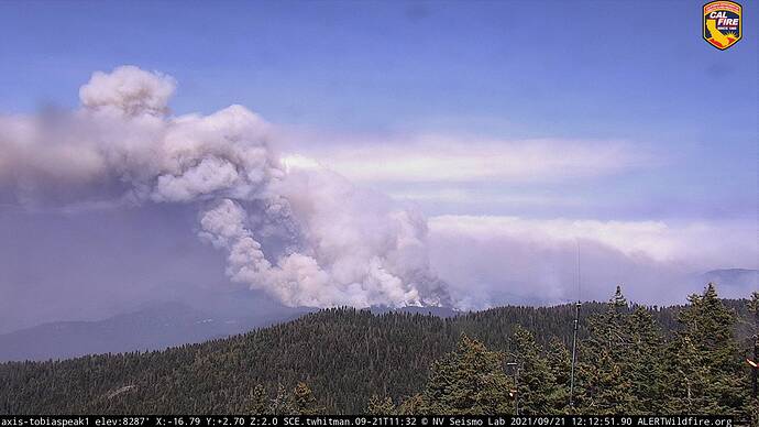
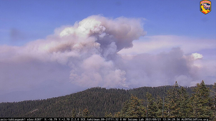
Buck rock appears to show both KNP and Windy
Looks like some lower intensity, possibly beneficial, fire through the Trail of 100 Giants. Crews did good work with only some fire into the canopy according to this tweet:
Looks like Camp Whitsett made it through as well, mostly intact with just some structures affected.
Winds have shifted from the NW and ground level winds seem to be from the E and NE. RH has not tanked yet and it was decent overnight. No updates on the perimeter or containment since yesterday.
Type I IMT ordered. California IIMT 5 (Young). In brief on Sept. 22.
Trail of 100 Giants has been pile burned over the last 1 1/2yrs. It was never finished, but definitely some good work ahead of time on that one particular unit. Fingers crossed 
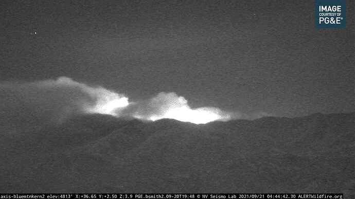
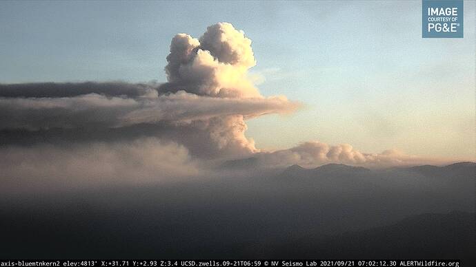
Tobias cams are down, but looking from Blue Mt2 cam in Kern county and a 6 hour time lapse the fire appeared to be quite active overnight with an off shore influence as predicted.
27,183 acres and 5 % contained. No mapping flight due to mechanical issues. Best guess with winds and Caltopo heat signatures is expansion in the SW corner, past Trail of 100 Giants, towards Parker Peak and Holey Meadows. Tobias Cam back up and shows and easterly wind. Sherman Peak nearby saying east at 11.
AA is bringing 4 LATs and 2 VLATs into the fire to begin in Div.M and go direct as possible.
Next is to watch over burn operations in Div. E, I am not fully sure about that division. Bit weak.
AA is Hoping they get the tankers to start a line in M (as a treatment for the crews in M) before they lay fire down was the discussion. I don’t think the fire is going in M however. They said the firing on the east side?? Or might have been firing in Div. E.
Ordering air resources for section 16 was another topic. Looking at the perimeter that might be Sentinel Peak (maybe Div.A as they have a section 16) but, that wasn’t the division mentioned. Div. E and Div. K was in that line of discussion.
Anyways, the fixed wing should be in the air and inbound by now.
EDIT UPDATE 14:15,
AA in comm’s with tankers and starting the direct line on the SW flank … it will be a long afternoon. Caution for Multiple copters on the fire too.
Coverage level 8…its going down heavy.
Div. M, the area that the tankers were dropping on yesterday is having holding issues and requests at least 2 copters for support. Prefer both fixed wing and rotor respond. Smoke at fires edge is clear, smoke lifting straight up.
Smoke conditions are poor at both helibases. Not sure how long this will take to get in motion. Tanker were reporting yesterday that the fire was eating though their coverage level 8 drops in same area.
EDIT UPDATE 11:30,
Div. E up in the Dome Rock the fires pushing hard towards the 21S07 road system. Will be unable to hold or engage this flank with out fixed wing air to check the fire.
Multi Division update… most, if not all ops traffic is on the NIFC command repeaters.
Div. D= working coy creek line production with masticators, handline and pluming in hose lays for holding.
Div.E= Ponderosa structure group in place and line production is going to be challenged and need air support.
Div.K= Lines with fire held overnight and moping up (good news). 82Rd has fire backing down to the lines and equipment in place to hold that. A finger pushed through section of dozer line, crews engaging but challenged. Above Johnsondale fire in sections 29 and 30 are barely holding with check lines.
Div.M= 28Rd crews want to go direct but again, need air support. The fire will continue unchecked without line between M and W. Dozers are building line.
Div.W= Crews are rallied at Stetson Corral to build line towards Parker peak. Eagle Creek has a major slop that is very active pushing out crews and challenging lines.
Good air over most of the fire. Air resources on scene and engaging. I missed that order. Seems the aircraft will be active today.
Ponderosa Lodge:
"The wind kicked up and so did the fire.
Their goal WAS just as soon as the visibility cleared to hold the fire east of Dome Rock. To send in a barrage of air tankers to paint both sides of a ridge that headed toward Lloyd Meadow rd.
The fire just now blew right past that."

