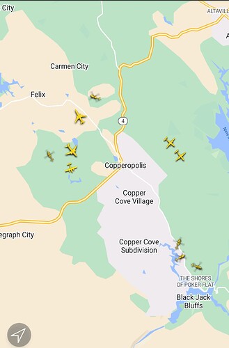
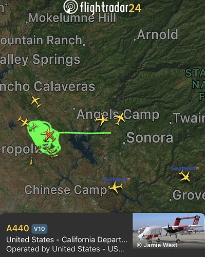
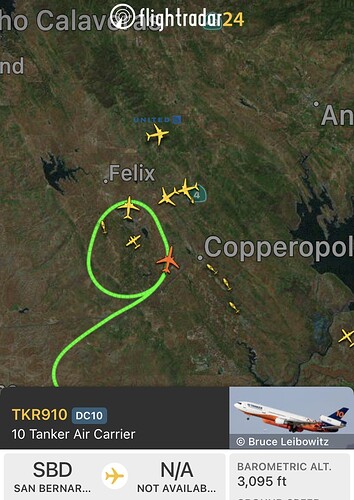
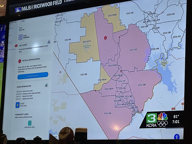
Just got cell coverage back 1500+ acres according to Intel 12
looks like that spot across Rock Creek rd going to set them back. That took off and is building from the looks of upper Bear cam.
Per scanner heading towards highway 40? (dont know if thats the exact highway I think he means hwy 49)
Probably hwy49
Current Temperature: 78°F
Relative Humidity: 23%
Current Wind Speed: 18 MPH
Wind Gust: 25 MPH
trying to hold HWY 4 going into town
KCRA helicopter up again
https://m.facebook.com/story.php?story_fbid=1001071654729885&id=100064719907079&mibextid=RtaFA8
Some scanner activity
AA ask for three night dropping Helo’s.
Firing ops started at highway 4 bringing fire down to rock creek
dozer 4242 tied into the firing op going to start punching some direct line want some engines to support it
will work 4242 towards heal and right shoulder
That would pick up the spot on the rock creeck rd side thats causing some headaches.
Any more reseource orders
The news was talking about evac warning in Tuolumne County. That would have to jump the Stanislaus River. Shot Gun Estates, Sierra Conservation Center, Basline Fire Center could be affected.
Team 3 on order.
Evacuation warning for everything along Obyrnes to 108.


