Hogan Dam Road near Gann Road between Valley Springs and Copperopolis. They’re still working into it but based on the column additional dozers and 2 type 3 and one were ordered. Missed what else was ordered. AT said Potential for 200 acres.
3 Likes
27 posts were merged into an existing topic: CA-TCU-GANN 2026
She’s spicy.
5 Likes
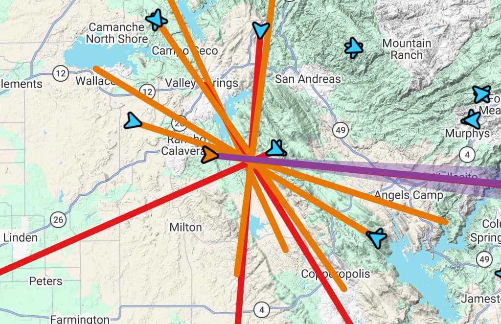
Looks like it is 100% contained by camera view lines, if that counts for anything.
If it gets away, we won’t really be able to blame a lack of early detection!
14 Likes
Kevin Gallagher at Wolf Mountain would have spotted it faster than the cameras. 
3 Likes
Get away? Looking gone already.
3 Likes
Agree. Doesn’t look contained by what I can see.
1 Like
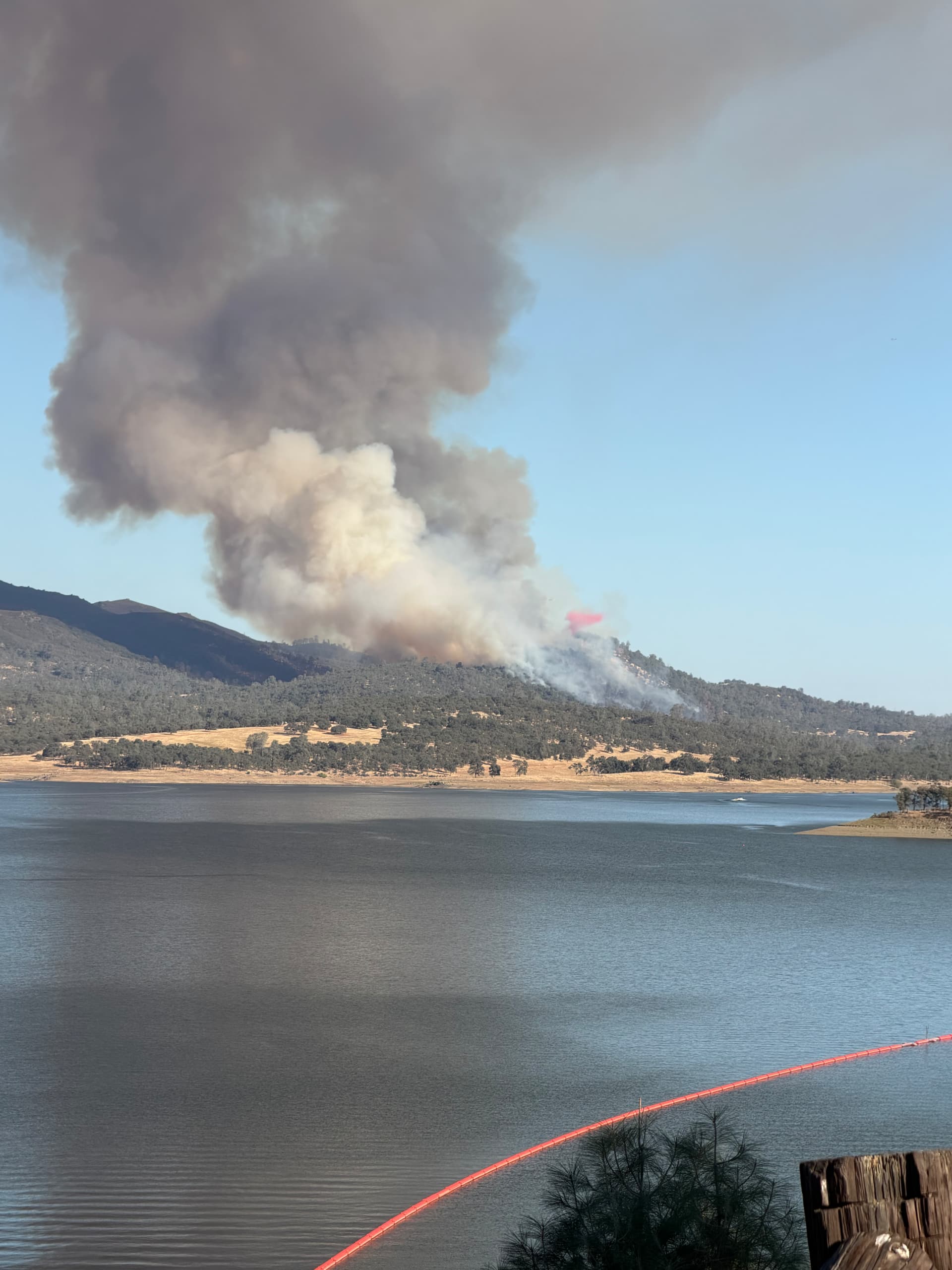
Yep, looks like they got it…NOT!
4 Likes
I believe what he meant was contained by camera coverage
13 Likes
Contained by camera coverage? What does that mean?
1 Like
Meaning, if those camera directional lines were real features on the ground, it would be contained by them. It was a joking way of saying it has a ton of cameras looking at it.
19 Likes
 A digital mess of lines on maps. I blame John Goss because it all started with the SWFRS cameras.
1 Like
KCRA off the pad enroute
3 Likes
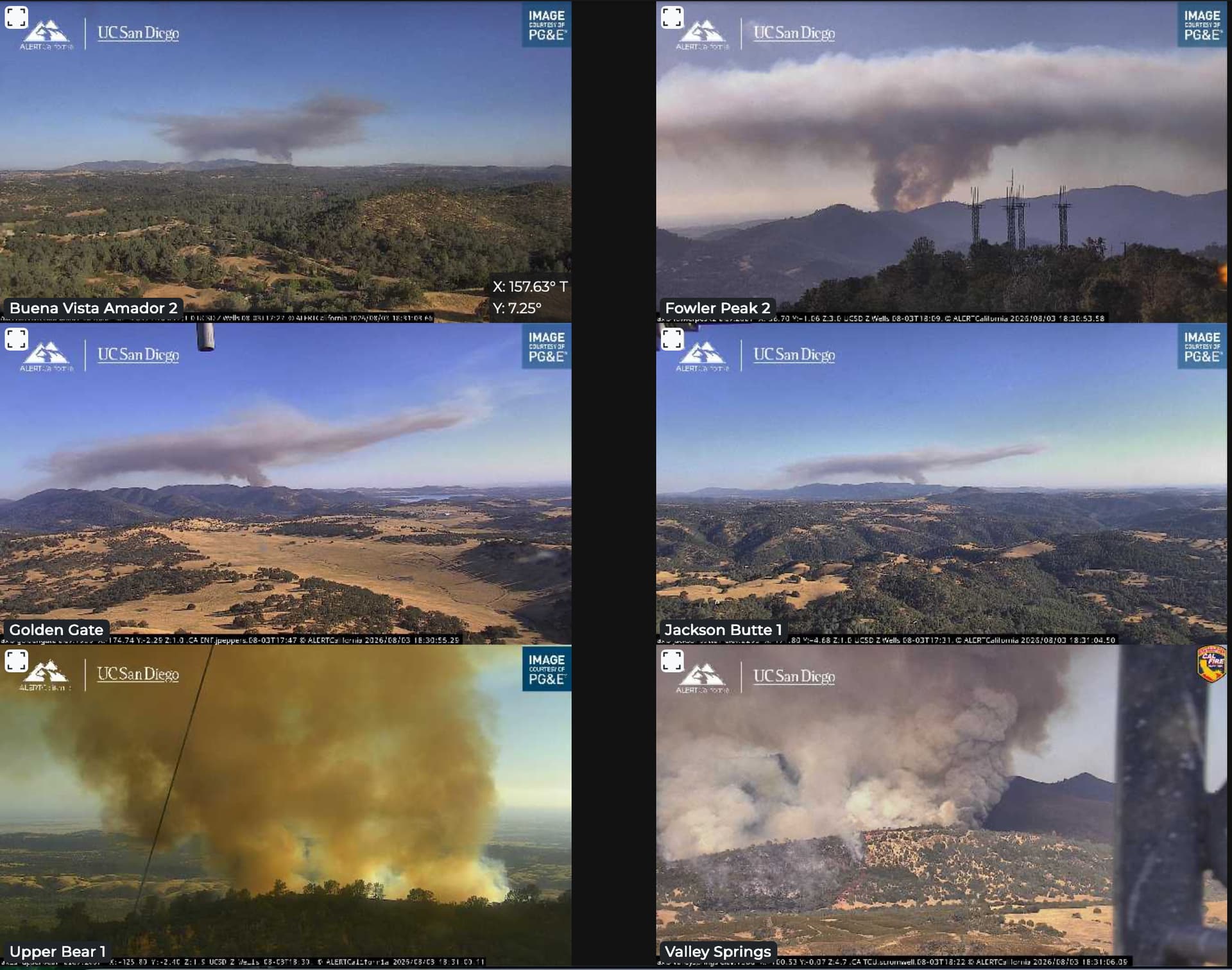
Dann Shively at scene
2 Likes
2 Likes
That’s not good but it was wishful thinking that two track was going to hold that fire in that area.
Two or three weeks ago maybe with air support. That area has a tendency for spotting in that fuel type and slope.
6 Likes
Looks like it popped that inversion pretty quick must have transitioned into the heavy brush on bear mountain
2 Likes
If they can keep it in that saddle between the the ridge it’s on now they might be able to hold it. There’s a ranch road that runs the middle of the saddle. If it gets to the east, it’s miles of dense Chamise and steep country. I don’t think those dozer lines on bear are open still.
4 Likes