Is there a place where someone can view the resource orders that are unfilled?
Just a little later than I thought.
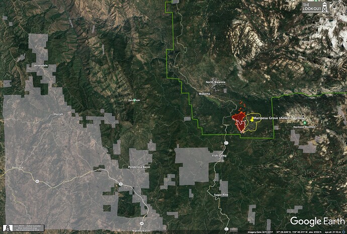
How close is this to SRA?
Ha!! Beat me to it.
Several Air miles to the South.
Has to pass thru the forest to get to the SRA
Here’s the link to the Central Sierra Fire Feed
Central Sierra Fire Tactical Feed Live Audio Feed (broadcastify.com)
A friend has set this up and can add any freqs we throw at him
KERN has not had a Hotshot Crew for several years now, RIO BRAVO was disbanded
They have a County Type2IA on this year.
Roger so it will hit SRA.
Hopefully LG and the state can start moving resources to the area.
Not with the current direction it’s burning, it’s heading further into the park.
It could, but it have to jump 41 for it to do that
Oh I’m sure it will. 

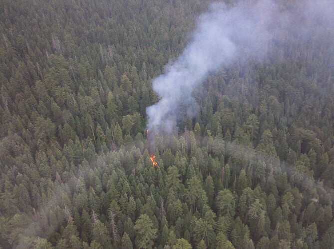
Fuels conditions just South of Merced River and East of Wawona. Small lightning fire in 2011. This is the North facing slope. Far more beetle kills since then…11 years ago.
I believe that’s an ownership map, not the SRA/FRA DPA boundary.
Yeah never say never and be prepared for when it goes sideways  . If creek fire showed us anything it’s that literally almost everything will happen from tornadoes to pyro cb lightning starting other fires.
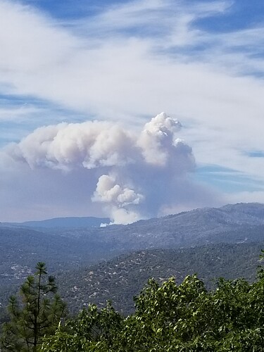
That thing looks like Godzilla !


