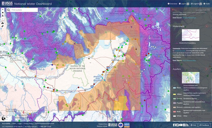
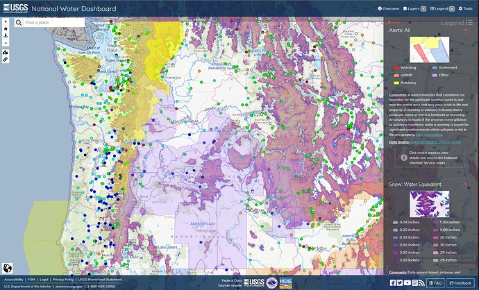
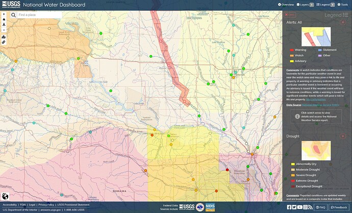
Snake River Plain. Idaho had an above average snow year. The Idaho melt is impacting the hills and mountains around the Plain. The middle of the Plain, around the Craters of the Moon, rises somewhat above where the transition to the mountains occurs around the edges and the very light blue areas around the transition are aquifers of more porous sand and gravel. The Snake River and American Falls Reservoir appear to have plenty of reserve capacity in the event of a heat wave or rain-on-snow event, and so it remains to be seen if, when, and where flooding will occur on the Plain.
The Boise River is flowing fast and high these days, but experts say major flooding is unlikely.
The US Corps of Engineers and the Bureau of Reclamation are letting more water out of the Lucky Peak reservoir to deal with this winter’s high snowpack melt.
Dave Evetts, the data chief for the Idaho Water Science Center with the US Geological Survey, said this is because of the recent warmer temperatures.
“When you have three days that are around 80 degrees or so and the nights are well above freezing, you’re going to start getting substantial snow melt from those higher elevation locations,” he said.
Some areas on the greenbelt, like the Bethine Church River Trail and a quarter-mile section under the West Parkcenter Bridge, are temporarily closed because of a few inches of water on the pathways. But Evetts says major flooding is unlikely.
“The last major flows that we had were in 2017 where the river got Over 9,000 CFS, close to 10,000 CFS,” he said, referring to the flooding that occurred in southern Idaho following a particularly snowy season.
Currently, the river flow is well below that at 6,000 CFS, which he says is on the upper end of normal. Evetts’ advice for Greenbelt users is to pay attention to erosion and find alternate routes.
Despite high water levels on the Boise Greenbelt, experts say major flooding is unlikely | Boise State Public Radio
