Asked around a little and was told the NIFC layers were not available to the public at this time so not something we could add to our external facing map. Somebody higher up the food chain would have to make a push for that to happen.
I’m playing with adding some other optional layers like a structure layer and an aerial/sat layer.
You could look at Wildfire Analyst Pocket for something more advanced. I have a Wildland Fire Behavior app on my android that provides Behave type functionality, but it was built for a previous version or Android so I am not sure it is still being supported.
This where if you have connectivity having this done in the cloud make so much more sense. let the heavy compute happen somewhere else and spit out an output.
This post is pretty much about the opposite of emerging technology, but since I post a lot on this thread, I thought I’d share this story about how we are using equipment we salvaged from the Camp Fire to forge forestry tools.
We are selling the tools as a fundraiser for The Lookout project. Here is a video about the forging process, and the tools we use.
We have a couple Lookout Axes still available! Order by Friday for Christmas delivery. The raffle (2 chances to win Lookout Camp Axes) closes tomorrow at midnight. https://ko-fi.com/thelookout/shop
SPOKANE, Wash. - Elon Musk’s recent update to Twitter, capping out how many posts accounts can read a day, poses a threat to the communication chain between emergency responders and journalists ahead of wildfire season.
“It’s a two-way street for sure,” Spokane County Fire District 8 Jay Wilkins said. “Not being able to see what’s coming in and not really being able to add context to what’s going out, it really makes it difficult on us.”
…
With the threat of accounts reaching their maximum post intake each day, leading to news stations possibly being unable to share quick and updated wildfire information - Wilkins recommends the community to sign up for “Alert Spokane” - a program that sends emergency alerts straight to your landline or cellphone. This will notify residents if they need to evacuate when a fire is burning.
Governor Newsom highlighted several new tools and partnerships, including:
The state is working with Lockheed Martin to explore the potential of incorporating Department of Defense-grade technology to fight wildfires. CAL FIRE is focusing on drone-based software, AI-enabled tools, analytics, and capabilities to provide analysis of ground and atmospheric conditions in near real-time, as well as persistent communications capabilities to fire personnel on the ground during response activities.
Low-Earth Orbit Satellites: The state is also working with the Environmental Defense Fund on low-earth orbit satellite technology. CAL FIRE is currently working on a potential partnership to formalize our ability to be involved in providing user input and feedback during system development, analyze sample and initial data from the system, and advance our knowledge of satellite-based detection for wildland firefighting including wildland-urban interface fires, prescribed fire, and more.
Technosylva wildfire projection tool: The result of the state’s first innovation sprint in 2019, using the X-prize concept, this is an on-demand wildfire spread prediction tool to support operational response, what-if scenario analysis, and wildfire risk forecasting.
FireGuard partnership with the Department of Defense: Working with the California Guard and the Pentagon, the state trailblazed the development and implementation of satellite capabilities to detect, analyze and map new wildfire ignitions, which was just extended to support Canada’s wildfire response.
CalGuard’s remotely-piloted aircraft: Since 2019, the Defense Secretary has authorized using the California National Guard’s remotely piloted aircraft for rapid aerial mapping and assessment of wildfires.
LiDAR investments: The state’s investments have collected approximately 30 million acres of new LiDAR (Light Detection and Ranging), which uses a remote sensing method to make a detailed 3-D map of the current topography and vegetation for every high fire risk region of California.
FireHawk night-capable helicopters: Faster with greater capacity to carry water, these helicopters allow CAL FIRE to conduct night flight operations. The initial fleet of 12 is being expanded to 16.
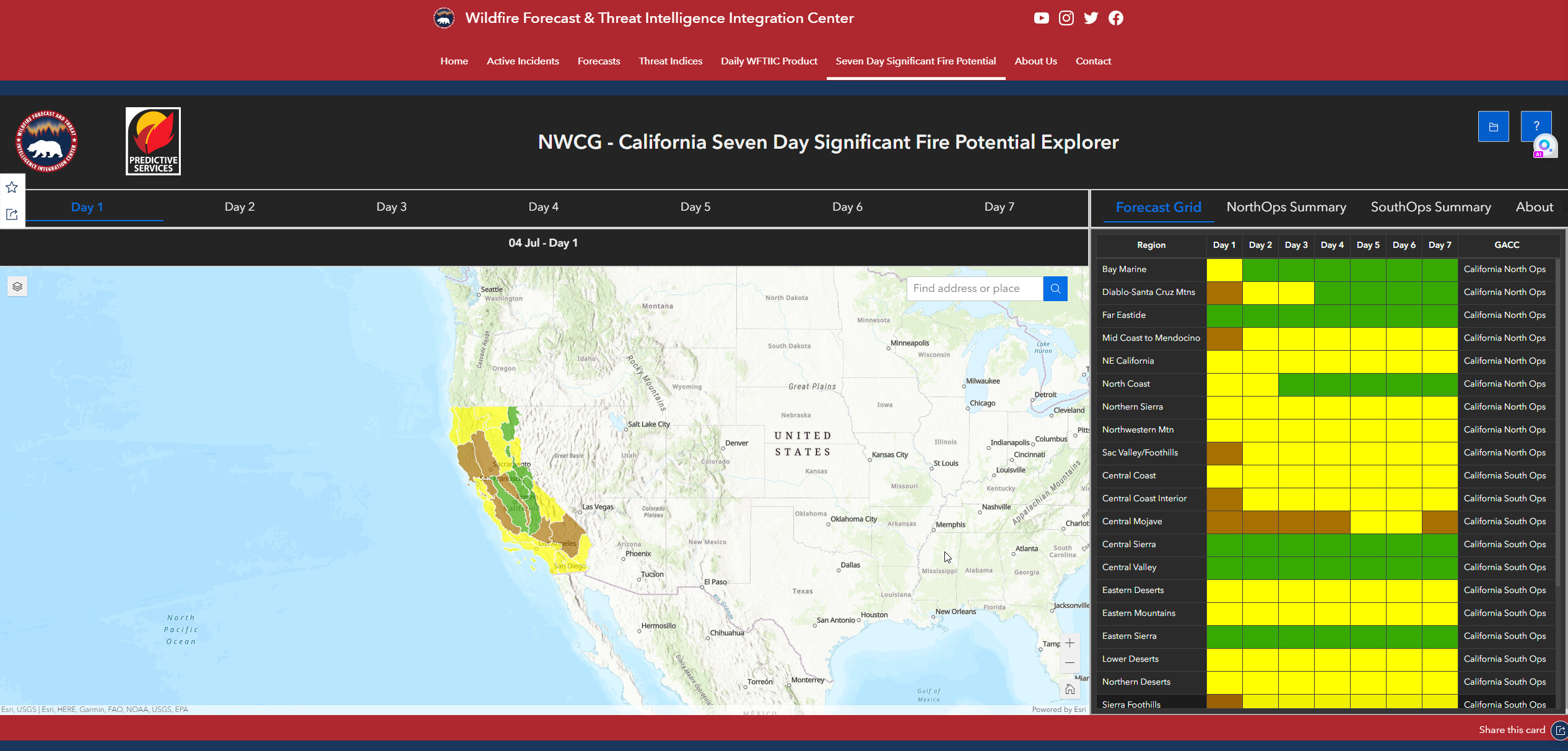
Wildfire Threat Intelligence Center (WFTIC): Serves as California’s integrated central organizing hub for wildfire forecasting, weather information, threat intelligence gathering, analysis and dissemination. WFTIC also coordinates wildfire threat intelligence and data sharing among federal, state, local agencies, tribal governments, utilities, other service providers, academic institutions and nongovernmental organizations.
“All these things, again, didn’t exist just a few years ago. The tools and technology being utilized here in the state of California like in no other jurisdiction that we know of in the United States. There’s a reason people come from around the globe to learn about the work that Cal Fire is doing, the mutual aid system, and the work that they’re doing on our integration center,” the Governor said. https://yubanet.com/regional/governor-highlights-new-technology-and-tools-ahead-of-peak-fire-season/
Wildfire Forecast & Threat Intelligence Integration Center (WFTIIC)
Across the U.S.—but particularly in Western states like Colorado, California, Iowa, and New Mexico—many local fireworks displays are being canned in favor of drones, a trend that began in earnest last year. So, why are so many towns making the switch? And what’s stopping the rest from following suit?
For safety reasons, it should be simple for field use. You don’t need to have all your mental efforts concentrating on an app when in a fire area where your head needs to be “ on a swivel “ for you and your crews safety awareness.
Just saying the more complicated to use, the less attention for situational awareness.
I might even go so far to say that an app is really about the hardware and that makes sense because an app that is just a read-only screen doesn’t buy you much. There’s plenty of data browsers. Now, look at TAK. Your not just read-only, your also a set of eyes and sensors that is feeding situational awareness into the system. Ultimate transparency of anything you could call foggy ‘metadata’ may have to wait for the augmented reality visor, but even the cameras, gyro, gps location, face to face meetings and sharing unexpected things as they come up. Your ‘node’ is a situational awareness peer. That’s a much different goal than an app that is, actually, trying to teach you a new way to comprehend it all. Just sayin’. You get that peer capability with some apps because they keep the metadata out of the way.
In principle, what you write on the morning board and stuff that’s on the bulletin board you walk, or run, by, is stuff you’ve got on the phone. What sort of vegetation is down in that ravine? Is there heat in that tree? In that structure? Is the block evacuated, or not? Somebody down at the crossroads says there is a horse in their yard, can you open the gate? Has anybody seen the horse, lately?
This is stuff you’d like. Hold the tablet up to the scene and ask, “is this the house, ma’am?” Doesn’t need a lot of setup, prep and briefing. So, I guess if you want a technology, start with the sensors, avoid the middleware, and let the datagraph sort itself out.
I did not use the word “acceptable”. I said “simple” as in not complex. The more complex, the more attention it may require. For those that are not on the line or close to the line, no problem. I am not discounting the value of ATAK, just concerned that if not simple to use it may require more attention than someone working the line can afford. Supervisors, while having line responsibilities, may have a little more time to spare.
Again, I said “simple for field use”. More complex work can be done by others not pulling a hose or swinging a tool.
Fair enough @arff what do you want the app to tell you on the line? Completely agree being in command/coordination is completely different than being actually on the line.
So what are the questions technology might answer?
And for those in more of a C2 look down what do you want to know, let me preface that i know that these arent mutually exclusive. What you are doing one minute isnt the same from an hour from now. You could be on the line or in the buggy/engine and those are totally different dynamics.
Take existing off the the shelf, in place technology and repurpose it for firefighting.
The best example I can think of is taking the oculus headsets/glasses and have a simulator for all levels of Firefighting. This “sim” could be used for the probationary FF on the most basic of evolutions. All the way to new company officers as 1st due IC’s to Chief officers doing extended attack, multi alarm fires. These could be networked so that an engine company could train as a crew all the way to multiple company officers and chief officers could expand classes like S-200, S-300, AHAIM.