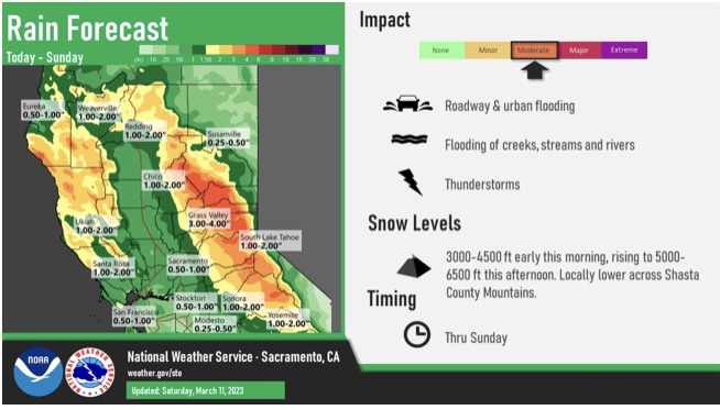
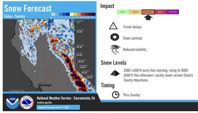
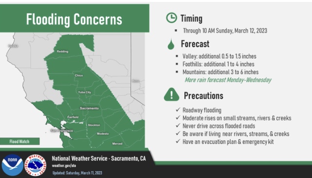
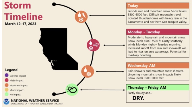
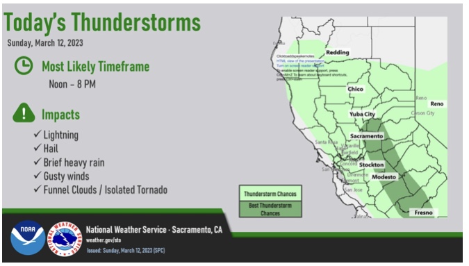
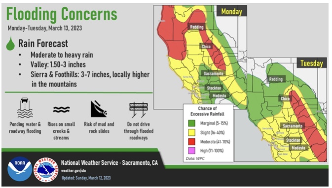
The Alameda River is splitting at the seams. After a titanic struggle, the Alameda is overrunning East Bay stormdrains, causing immanent flooding and evacuation alerts.
Merced. Directly west, near Newman, is a Merced River complex Flood Warning.
The polygon directly south is a Tornado Warning.
The overlapping polygon is Severe Thunderstorm.
Tornado Warning issued March 12 at 3:24PM PDT until March 12 at 3:30PM PDT by NWS Hanford CA
At 323 PM PDT, a severe thunderstorm capable of producing a tornado was located 9 miles northeast of Los Banos, or 17 miles south of Atwater, moving east at 15 mph. HAZARD…Tornado. SOURCE…Weather spotters reported a funnel cloud. IMPACT…Flying debris will be dangerous to those caught without shelter. Mobile homes will be damaged or destroyed. Damage to roofs, windows, and vehicles will occur. Tree damage is likely. Locations impacted include… Merced.
Instructions
TAKE COVER NOW! Move to a basement or an interior room on the lowest floor of a sturdy building. Avoid windows. If you are outdoors, in a mobile home, or in a vehicle, move to the closest substantial shelter and protect yourself from flying debris.
Sender
Sent
3/12/2023 15:24 PDT
Updates
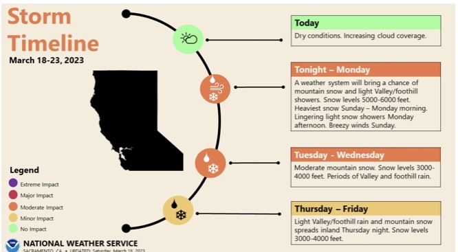
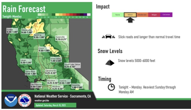
HRRR and NAM 3km deepen a subtropical storm to around 980 MB on Tuesday night. If this occurs and it landfalls in a populated area there could be significant impacts to power infrastructure. The 18z HRRR brings the storm into the Bay Area. Something to mindfully think of. The storm structure on model runs resembles tropical cyclones that recurve in the Atlantic basin and transition into baroclinic subtropical cyclones.
I don’t see any wind watches for the bay area yet ….