NV-HTF-Tamarack

#TamarackFire Update: 5:30 pm

"Fire activity has increased on the Tamarack Fire this afternoon. In Division F, firefighters are reporting winds out of the northwest. The fire is still south of the CA-88 road and west of the CA-89 road. Crews will continue to work in this area to keep the fire from crossing the road.

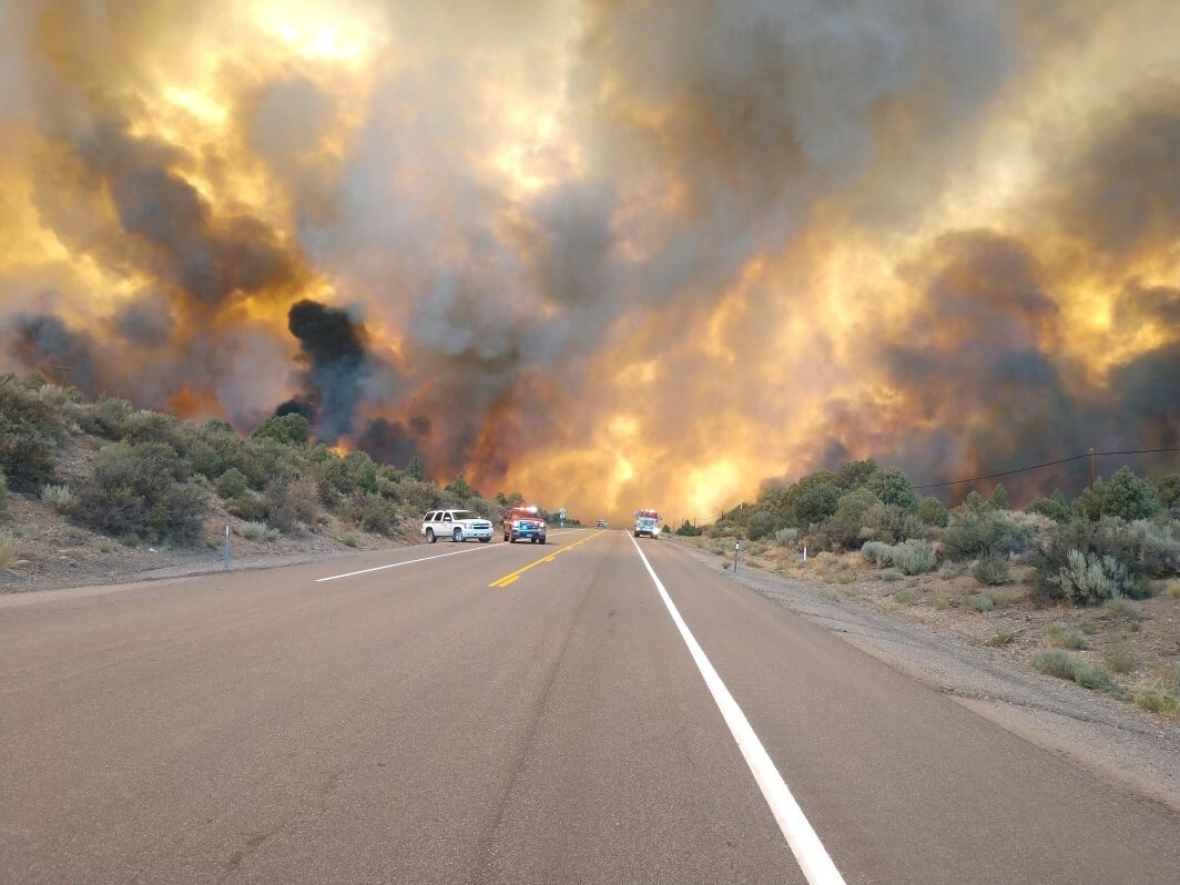
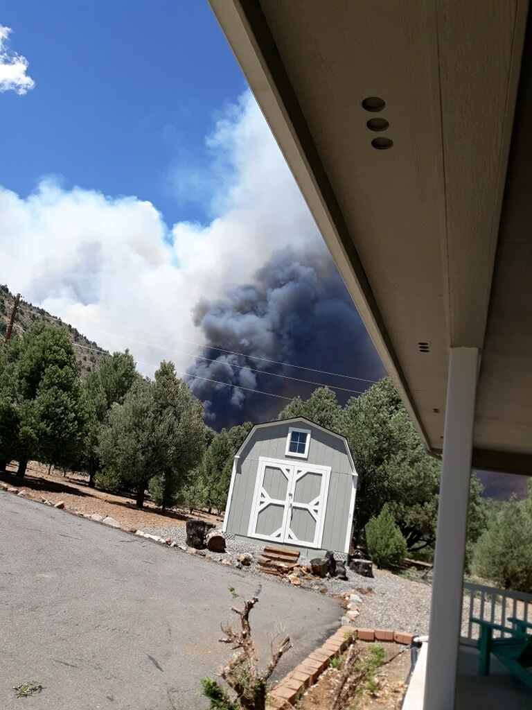
In Division O, the fire has advanced further to the east and has reached the dozer line behind the Spring Valley Subdivision. Firefighters are currently holding the fire on the dozer line. Flames are visible from the highway. Due to an increase in fire traffic and fire firefighters working in the area, Hwy 395 has been closed. Crews have been establishing indirect fireline as a means to protect structures along the highway."

3 Likes


Updated: 15:42 hours

2 Likes

From Twitter at 1813 hours, fire “spotted” across 395 now. https://twitter.com/CAFireScanner/status/1418016288010510337?s=20
Coming down into Spring Valley area https://twitter.com/i/status/1417999845260861440

1 Like

There are confirmed spots on the East side of 395 but I think we need to be careful of saying that the fire itself is across 395. Spots can be picked up and from the radio traffic sounds like they are vs. a fire that is across and running.

6 Likes

Agreed, I just heard someone on the scanner requesting a unit to verify they’ve picked those spots across 395.

1 Like

Roger. Post edited for clarity.

1 Like

Picking up good

From Holbrook junction neighborhood

5 Likes

Spot weather for west side of Tamarack: NWS Spot Forecast

3 Likes

From Facebook Tamarack Fire Information page. Fire has crossed Hwy 395.

9 Likes

Long ago…already 2500 acres on the east side of 395

3 Likes

Lost a house just north of in laws. Retardant around the neighborhood now. They said the pilots were crazy good. They are in Holbrook junction.

8 Likes

Type III video https://fb.watch/6WIP6CFCKF/

3 Likes

10 posts were merged into an existing topic: Instructions to find IAP and Maps for most incidents

structure loss/damage assessment map.

https://www.alpinecountyca.gov/593/Maps?fbclid=IwAR12dmvPOwi4jWZPqfxgrhRxnhqIS7sdyYqnGDp8Bba9VmfyloK7PVGBd9o

3 Likes

@muni_captain About that…hmmm preventable action on DIV O … unessecary

Thanks for pic and update

Has moisture moved into the area, looks like maybe t-cell’s have move in…let’s pray for rain…

Looks like a decent chance of moisture, decent RH recovery, hot and humid conditions thru the forecasted period, every little bit helps…would be nice to see this one put to bed…

2 Likes

forgot the link :grinning:

Hourly Graphical Forecast for 38.69N 119.79W (weather.gov)

3 Likes