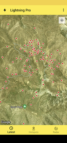
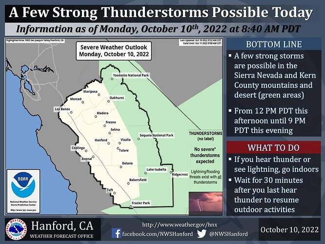
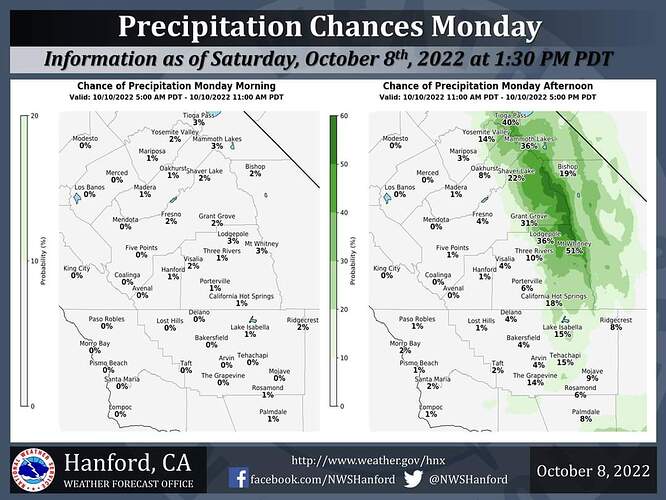
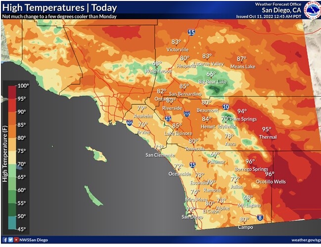
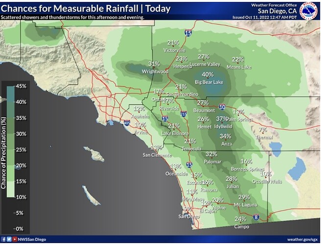
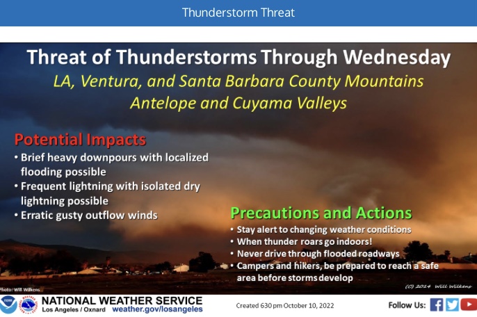
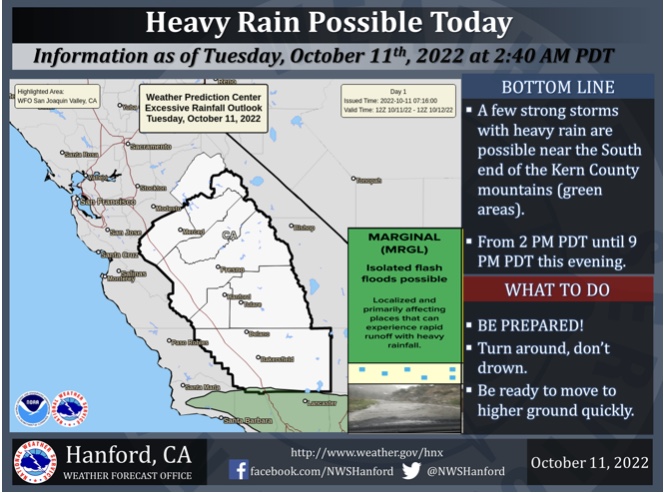
Unsure, was hoping to hear whether there was moisture with it. Currently on the Fairview and there was some talk of downstrikes observed in the area. Lightning tracker is showing plenty
Good evening,
Southern CA has experienced widespread wetting rainfall in the last 72 hours.
The precipitation data indicates that about 90% of the area west of the mountains has received at least a quarter inch of rain, with about 50% receiving over half and inch. The wetting rainfall is a nice slow down to fire season, however due to the timing it leaves plenty of opportunity for grass crop to sprout, and cure.
In years past, the end of season precipitation event occurred later in the month of September, or early October. This year, we still have 2 weeks of summer left for drying.
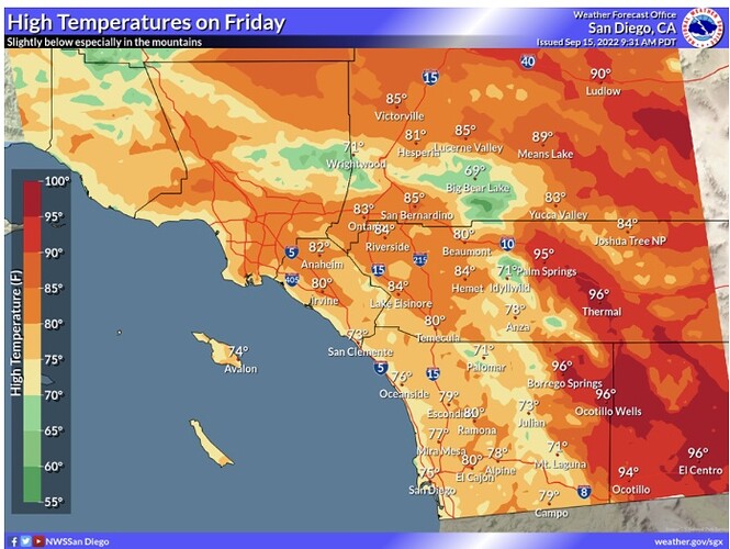
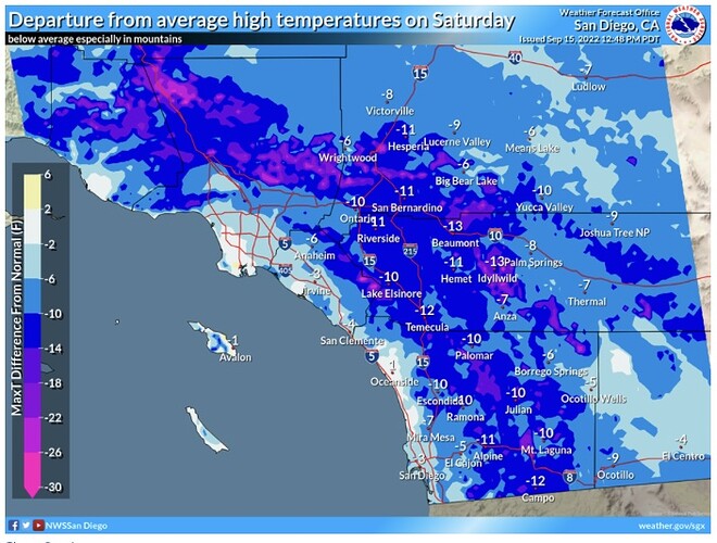
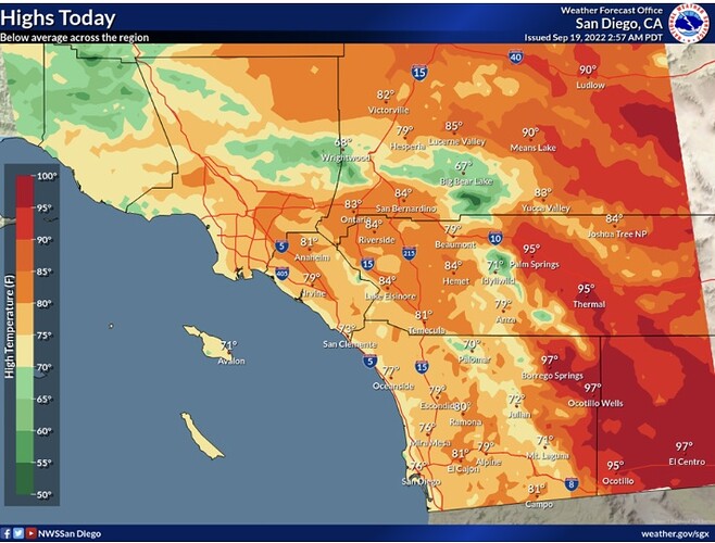
Forecast models are diverging. The GFS, ICON, NAVGEM, and CMC bring an anomalously cold closer upper level low that parks itself off of the coast of California starting this weekend. The upper low is very very dynamic on models. The upper low interacts with the remnant mid level moisture from Kay and could produce a lightning event.
The ECMWF brings a very strong inside slider. Either scenario could bring fire weather concerns.
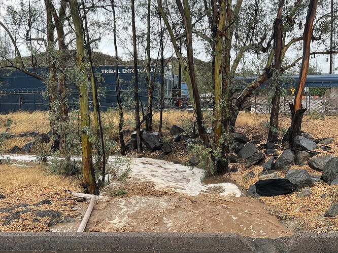
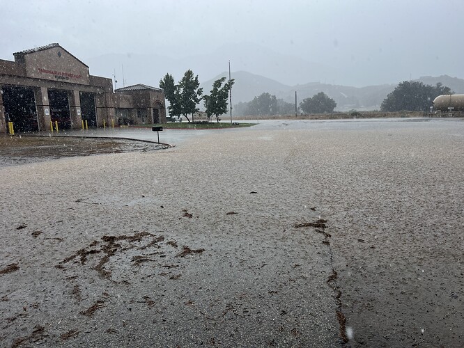
US&R Regional Task Forces 2 and 4 meeting up in West Covina to respond to San Bernardino County (Yucaipa area) for mud and debris flows.
Forecast models are suggesting a Santa Ana wind event around 23 September. Model support is growing for a tropical cyclone to move up the Gulf of California at the same time. If this scenario manifests, there could be a great deal of upper level support and offshore wind enhancement from the cyclone.
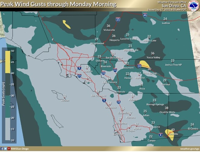
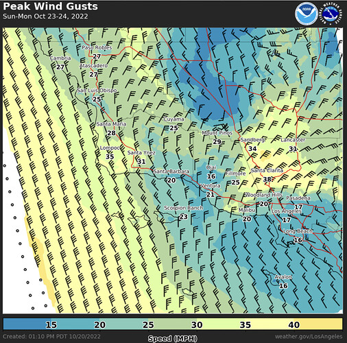
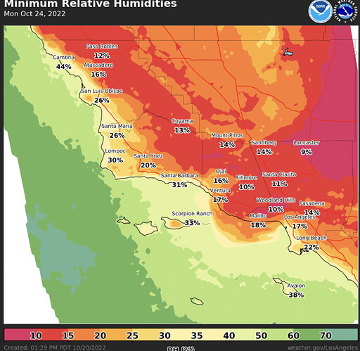
Elevated to brief critical fire weather conditions are likely to return on Sunday into Monday. Gusty offshore winds of 30-45 mph are expected through the interior of the typical Santa Ana wind corridor and will lead to rapid drying with minimum humidities of 10-20%.
