Tonight’s run of the ECMWF shows a strong inside slider signal for the 18th-21st time frame. I am factoring in the notion that early season troughs are modeled too far west in the mid/long term. This could bring an offshore wind event and should be monitored.
Update: a developing tropical cyclone south of Baja is forecasted to move into the Gulf of California and into mainland Mexico, and this could open the door for a stronger/sharper than normal trough over the Great Basin
In layman terms?
Basically, the tropical cyclone carves out a path in the subtropical ridge (heat dome) and cools the surface off, which allows colder heavier air at the surface to move further south into the Great Basin.
And a tighter pressure gradient
With stronger Offshore winds
If I’m picking up what your putting down.
Basically no effects on fire behavior this rest of the week.
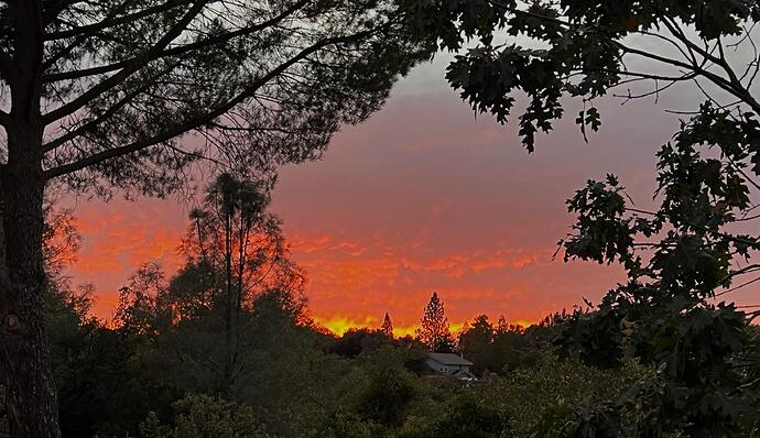
A little touch of Fall tonight. 65 out at 19:30 winds about 10 mph and RH at 45%. This little system made another great sunset for the Motherlode. Maybe a shower Wednesday we will see, anvilhead stated a warm up and looks like that’s on track. Enjoy the pick and folks have a great week.
Flooding possible from 198 to Frazier park tomorrow.
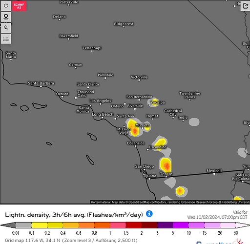
Forecast models are in good agreement that a weak cut off low as part of a blocking pattern over the West coast will meander off of the coast next week. The low is able to entrain some mid level moisture and an isolated dry lightning strike could occur on Tuesday/Wednesday over the mountains. The low levels should be dry and surface temperatures above normal. The extended summer pattern into October makes it difficult to predict when we will have the first ‘trough’ driven offshore wind event, but perhaps around 10/23 we may finally see that manifest.
It doesn’t matter if your in North or South Ops the next couple of Days. Every Unit or District has one of those Oh Crap areas you don’t want a start. Hunting sucks, Fishing sucks we need a weather change.
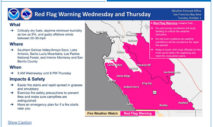
Red Flag Warnings Central Coast:
https://forecast.weather.gov/product.php?site=MTR&issuedby=MTR&product=RFW&format=txt&version=1&glossary=0
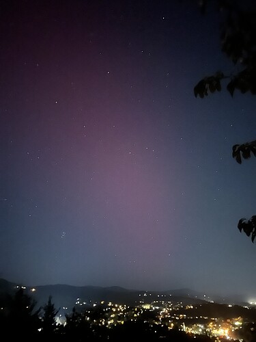
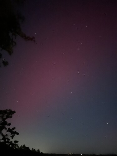
The first pic is the Northen Lights looking out over Sonora. The second pic is the Northern lights looking out over Columbia.
68 out winds are calm RH 38…
Northern lights were taken by IPone.
WE NEED RAIN!!!
LFM:
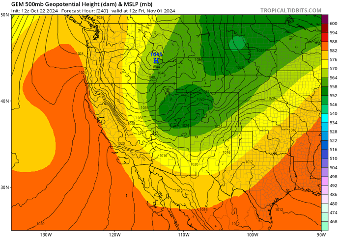
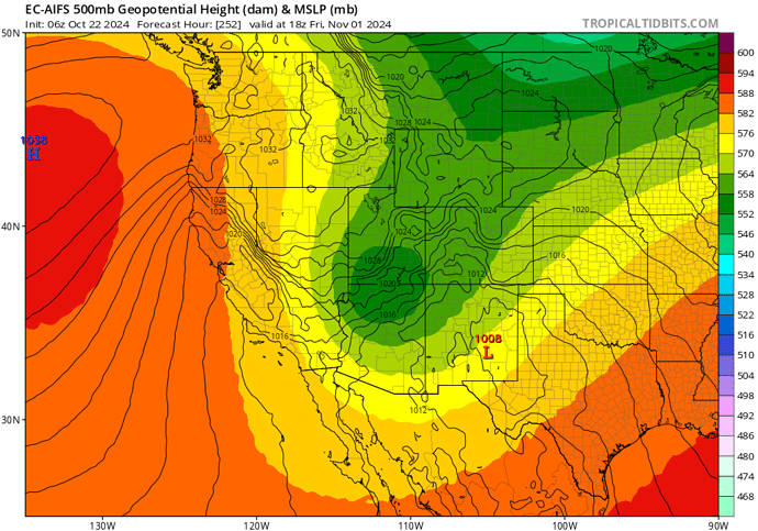
Forecast models are supporting either: season ending rain event or a strong Santa Ana wind event in early November. Around the 1st. Strong and persistent long wave troughing across the Pacific NW will begin to eject into the middle of the country as a potent jet streak forces everything down stream. This breaks down a crazy strong ridge over northern Baja for this time of year. The question this time of year is where does the trough sharpen and how much precipitation will it bring before offshore wind events manifest?. We’re still in the early/middle part of fall so we can probably expect a more inside track. The inside track would likely bring significant offshore wind event with plenty of cold air advection, and upper level support. The risk of significant wildfires will be elevated due to the insane heat wave occurring here in late October in Southern California. The upper level ridge and Offshore gradients are forecasted to bring temperatures in the lower to mid 90s next weekend.
Due to us being only about 6 days from the synoptic setup and a trend drier on model runs, we can begin preparations for a strong Santa Ana wind event that could be long duration due to reinforcing shortwaves rotating around a larger trough in the Great Basin.


