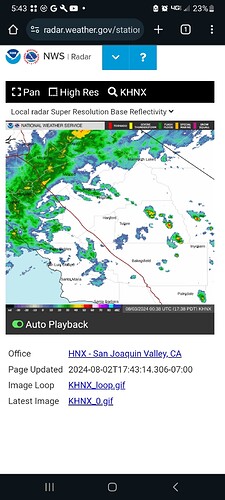
EGP showing some lightning around Courtwright and Florence. Half a dozen or so
Precipitation is moving past Yosemite and thunderstorms are developing again in tulare County heading northwest.
https://forecast.weather.gov/wwamap/wwatxtget.php?cwa=HNX&wwa=special%20weather%20statement
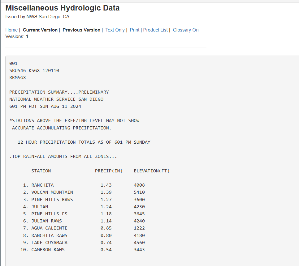
And just like that, the fire season in SDU just got a 4 week reprieve. Extensive heavy rainfall all afternoon in the eastern half of SD County. Some things never change. At 1 point the flash flood warning covered about 30-35% of the county…all east county. We heard a few rumbles here in San Marcos but not 1 drop of wetness 
SDU had over 900 strikes from AB to Lakeside. A little bit of rain but the RH was way up there
Rain might give you a few days but doesn’t give you weeks of reprieve. One or two dry windy days and it’ll be back to how it was.
The vegetation is seasonally dormant, there will not be much impact to receptivity especially with the increasing ground moisture deficit.
**In SoOps we used to say 2” monsoon followed up by 10” Santa Ana’s **
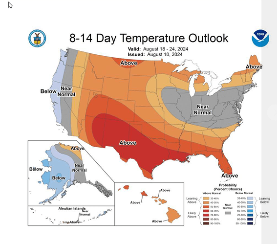
Somebody forgot to tell the Bay Area this. The Units in this influence area are back to mid-90s by Tuesday.
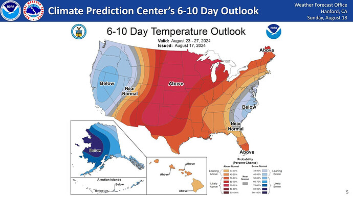
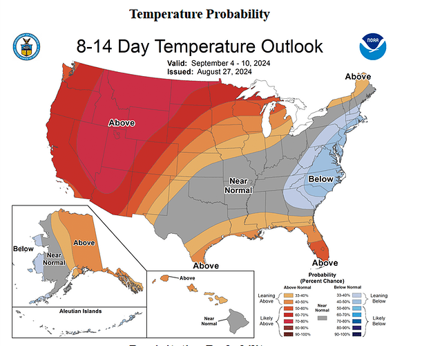
The dates for this outlook are for the 23rd thru the 27th. Supposed to cool a bit again by next weekend. We’ll see.
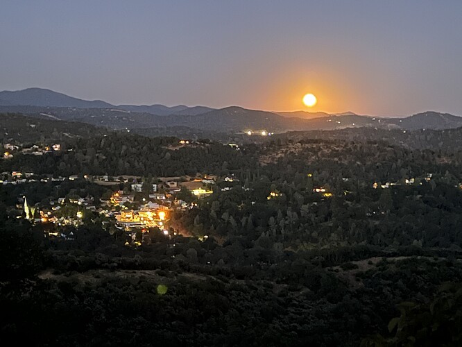
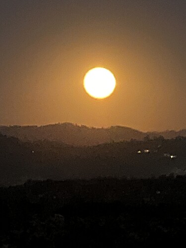
A awesome site tonite rising over Sonora and the mountains. The Super Moon is shinning in all it’s glory.
Temp is 81, RH 25 and winds 5 to 10. Big cool down end of the week. Then a Big heat up next week.
@anvilhead and @mesocyclone Your thoughts on these early season deep troughs that we’ve been getting over the last couple of weeks and if it is an early indication of an early offshore wind season? Or Quantity and strength?
No indication that August conditions have much, if any, bearing on autumn weather patterns. Right now, there continues to be a pretty strong indication of warmer than average conditions Sep-Nov, with a slight tilt toward a later than average start to the rainy season in SoCal (though the temperature piece is much stronger than the precip piece). This is largely consistent with the seasonal outlook from predictive services indicating above-average large fire activity in the offshore (Santa Ana and Diablo) wind-dominated regions beginning next month and likely continuing until the rains arrive. We do not really have any seasonal-scale predictability of offshore wind events, so I would assume near-average offshore wind event risk combined with hotter than usual conditions and possibly a late rainy season start in the south.
The one place where the weather right now will have some carryover effects is in fuel moisture up north (i.e., especially along the North Coast of CA and in OR/WA from the Cascades westward). The rain right now will be major season-mitigating (if not season-ending, esp in western WA/OR) precip event, so activity will be drastically lower to nil after this second Aug rain event up there. There will be at least a temporary increase in fuel moistures up in other portions of interior NorCal as well, including around Shasta and possibly NE CA (including the Park Fire footprint), but the amount of rain inbound is unlikely to be season-ending that far east. South of central Mendocino, any rain will be quite light and likely negligible from a fire season perspective except for during the next 7 days or so (when it will tamp down fine fuel moisture).
With the legacy of a heavy fine fuel crop from wet winters in 2023 and 2024 in central and SoCal and a record hot June-July across an even broader region, there’s a good shot that fire season takes off pretty substantially in these regions during coastal heatwave/offshore wind events Sep-Oct/Nov–something the seasonal modeling continues to support. So there will likely be strong contrast between below-average fire conditions up on the North Coast for the rest of the season vs potentially well above average conditions in the SA-dominated regimes down south (and possibly as far north as the SF Bay Area during any major wind/heat events).
Keep an eye your neighbors some are lighting up the fireplace because it’s 62 degrees at 4500 ft.
Sprinkles in Mariposa

