
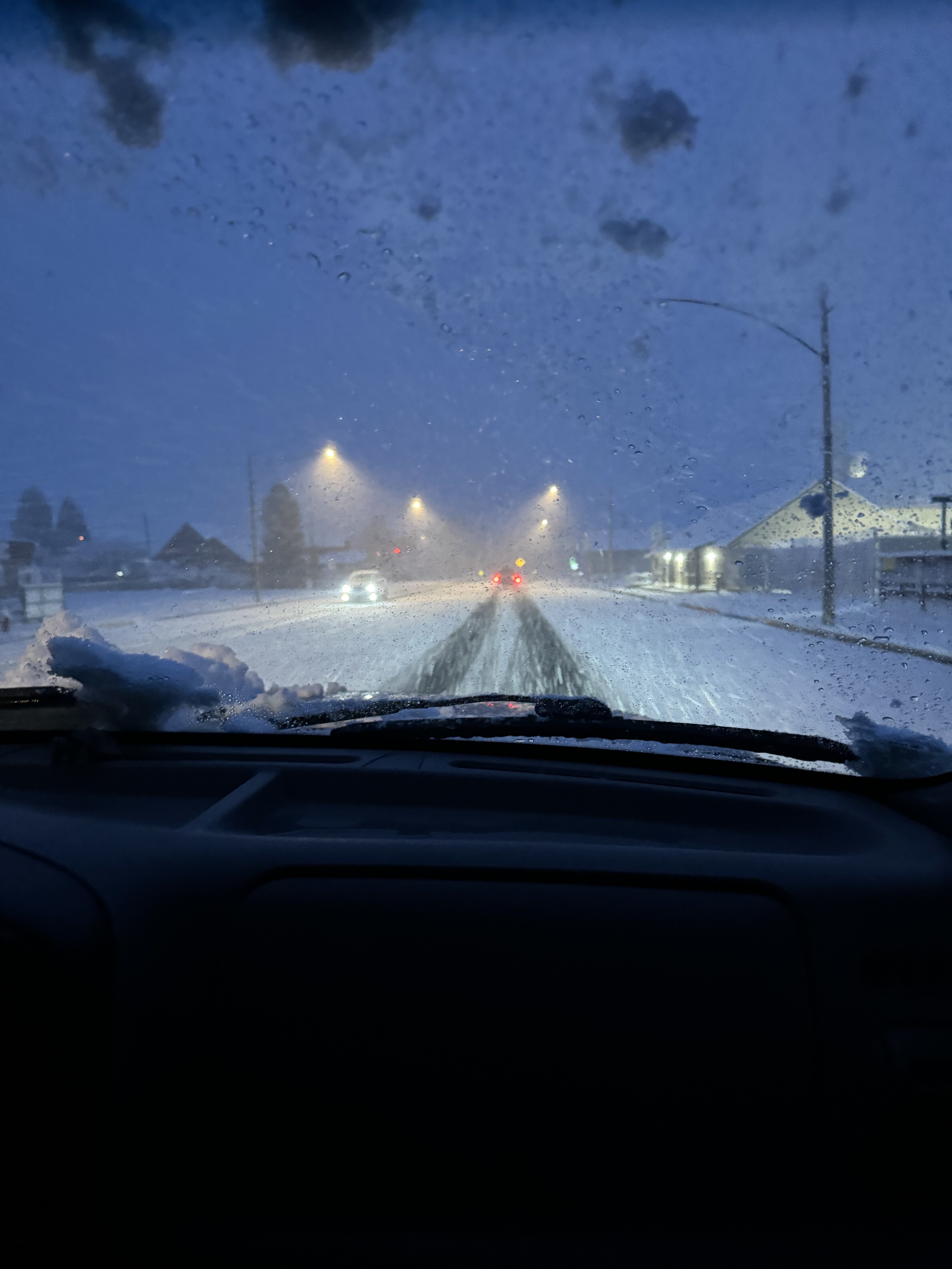
Good Morning Fire Folks, a chilly morning 34 out, breezy and snowing at the casa. A picture of the hills above and around Sonora covered in snow. Snowed down to Jamestown they are saying. Glad we didn’t get to much in this elevation. A lot of our trees have leafed out and heavy snow would not be good.
11 Likes
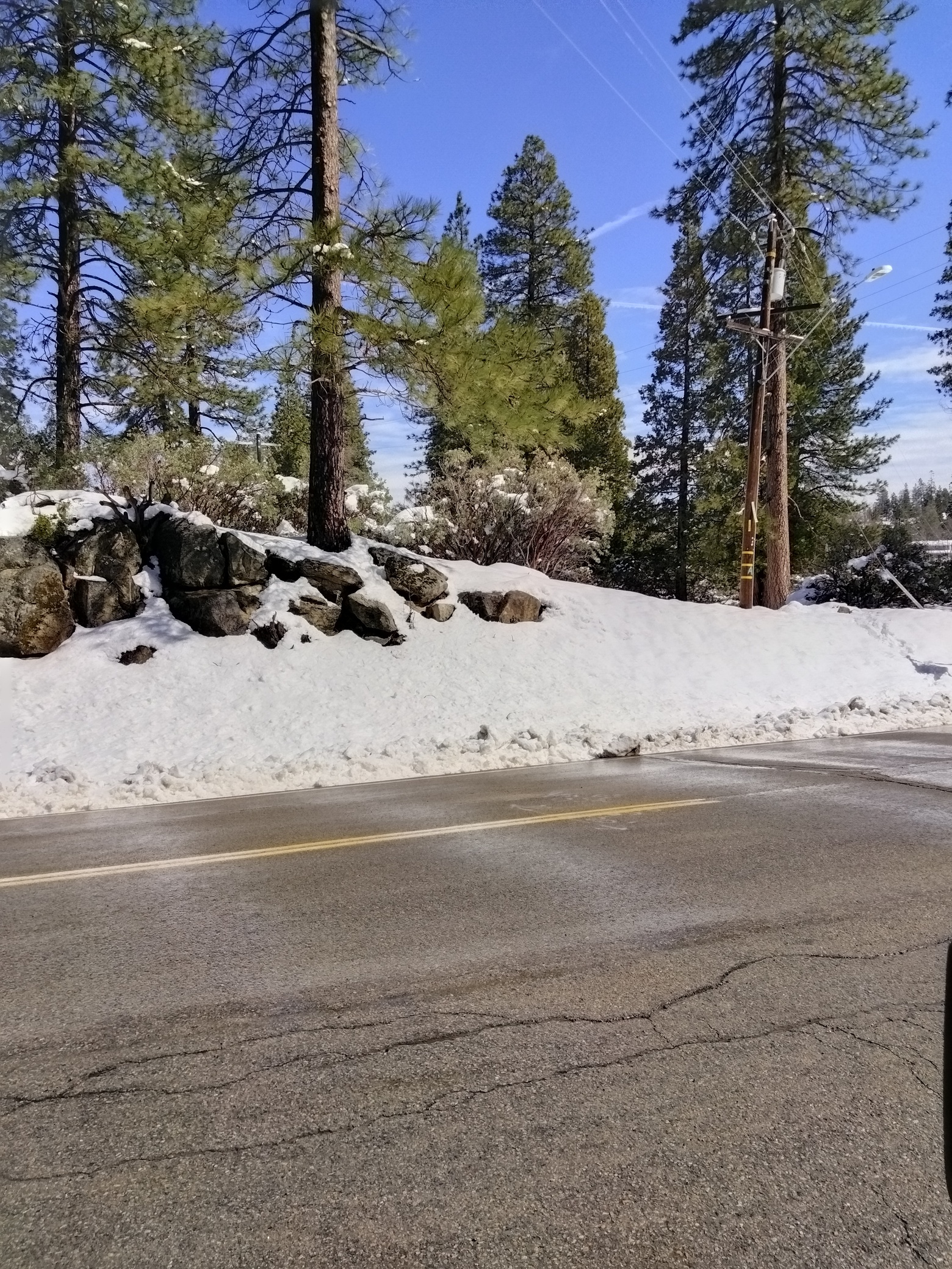
Meadow lakes got about a foot but it will be gone quickly. 42 degrees on the cabin porch.
Pic taken where the meadow lakes apple stand stood until march of 2023 crushed by snow.
8 Likes
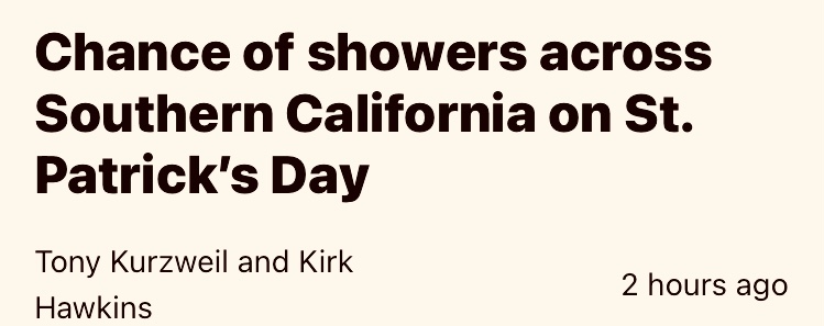
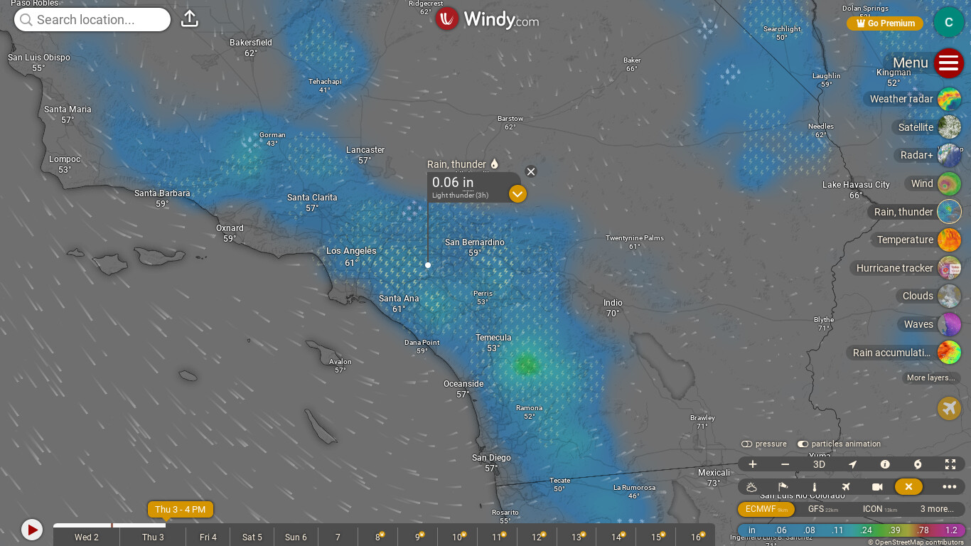
https://ktla.com/news/california/chance-of-light-st-patricks-day-showers-across-southern-california/
3 Likes
true i aggre with that
2 Likes
A post was merged into an existing topic: National Fire Weather and News
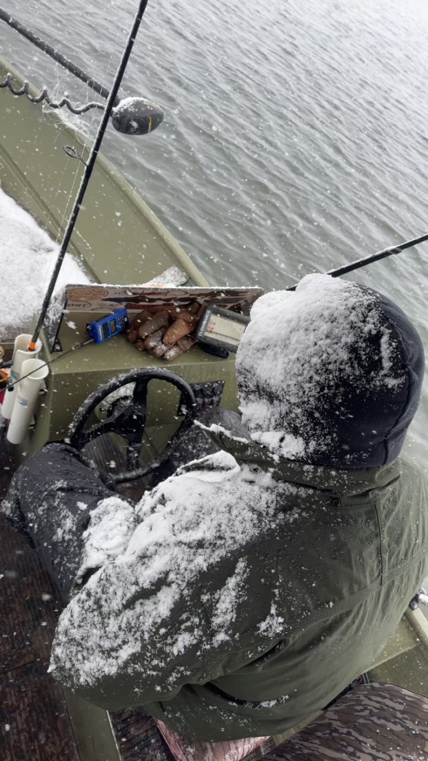
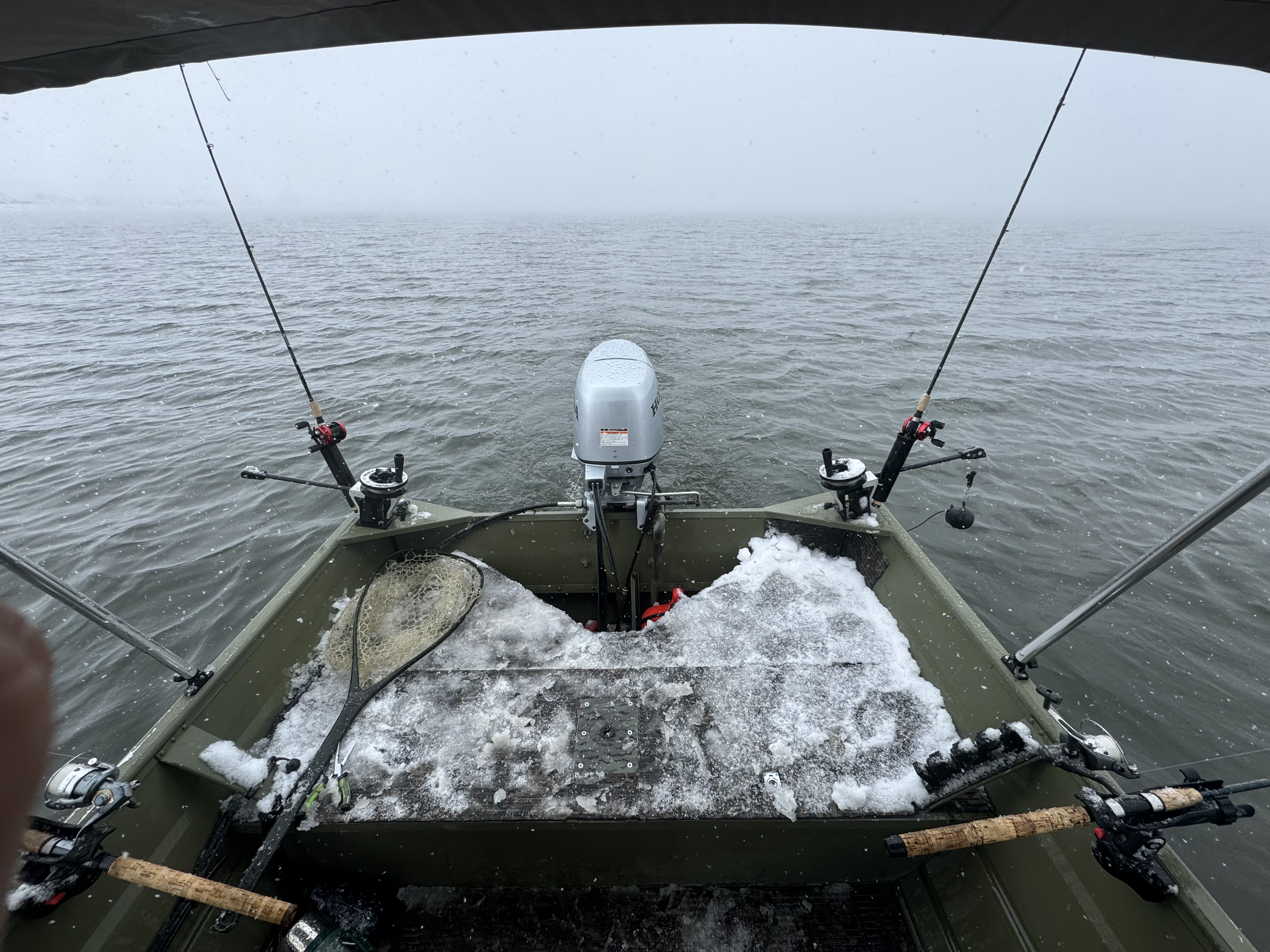
Opening Day of trout season Bridgeport. 30 degrees and snowing with 2" on the ground. Fire Danger low today. My kid sent me these pics. And yes, they caught a lot of fish. No wind there this morning that was a real Bonus!
8 Likes
Should be nice warm weather inside Rhinos Bar and Grill my man. Enjoy the fishing
10 Likes
Little weather and grass update. 78 at the casa Sonora area. RH 38 and wind NW at 5. Cut banks and Lava caps are starting to go. Won’t be long from Sonora down to Oakdale and Jamestown down J-59 will be brown heading to La Grange and Snelling. Sonora and above will depend on Temps. Time will tell what this season will bring. The old saying" It has to snow on the Dog Woods blooms for summer to arrive" and that happened last week in Twain Harte and above.
Hope everyone has a great weekend!
11 Likes
3 Likes
4 Likes
5 Likes

2 Likes
Fire weather watch has expired.
4 Likes
The NWS Slack for WFO-hanford-ca was a bit curious about the issuance of it anyways.
Here is the quote from Hanford after it got pulled
As a heads up to our partners, after a discussion at the office, we have decided that the best course of action to avoid further confusion was to cancel the Fire Weather Watch, due to forecasted conditions not meeting the criteria for a Red Flag Warning. However, the forecast still calls for minimum RH’s in the teens this afternoon and wind gusts of 20 to 30 mph, so an elevated fire risk is still possible today. (edited)
8 Likes
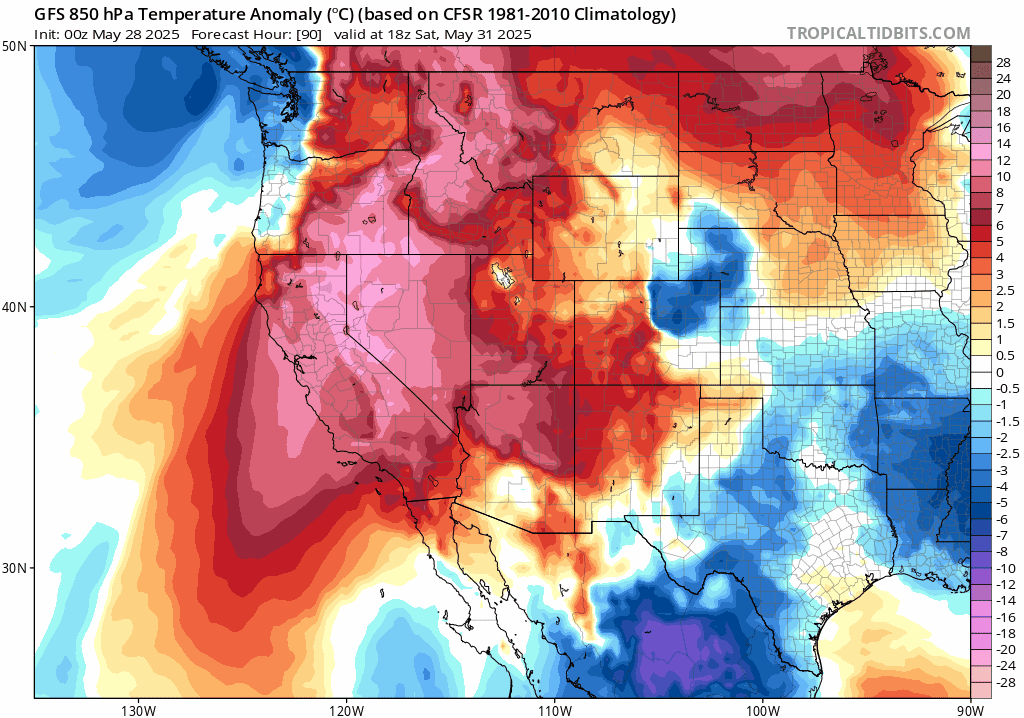
Hot and dry conditions under the warming boundary layer the rest of the week as the cut off low settles in south of Southern California. The low pressure system is set to pick up a developing tropical cyclone and entrain mid level moisture but most model guidance does not produce much in the way of widespread precipitation. This could be due to down slope drying occurring and drying out the lower level of the atmosphere due to the negatively tilted cut off low to the South. As the low ejects it is likely going to phase with an extremely anomalous upper level trough moving into Central California. Cold air advection, upper level support, and strong onshore gradients could bring damaging sundowner winds to the wind prone areas and bring extreme fire behavior to any starts on the desert slopes (as long as precipitation remains minimal this week).
12 Likes
3 Likes