10 min ago from Kelly ridge:
4 Likes
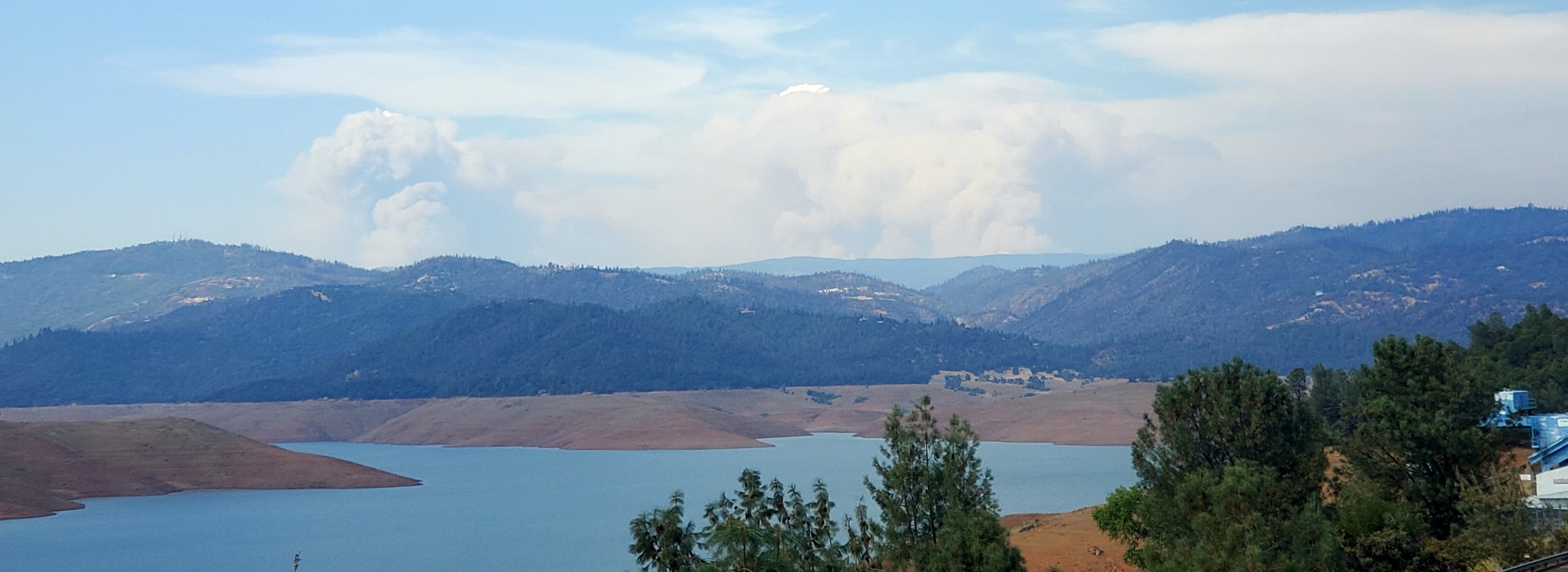
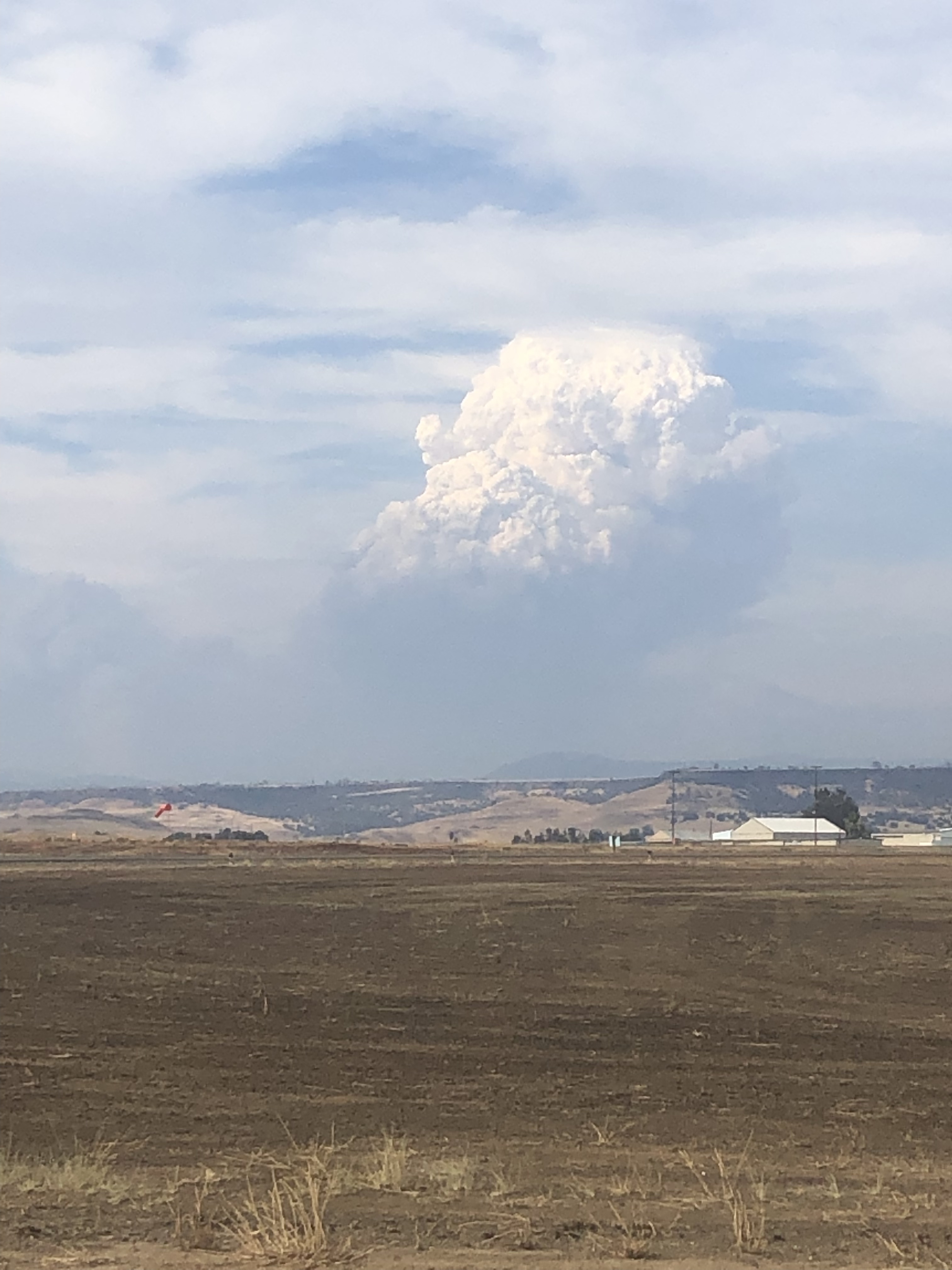
I am watching this thing blow up… in the last 15 minutes
this is pretty close to what I am watching from my back yard. Thing just went big in a matter of minutes… scary awesome. It got some altitude to it too fast to be good. Pictures from Flea Mt around 17:00 are imposing Tankers fly over every few minutes , C130 just buzzed us…
8 Likes
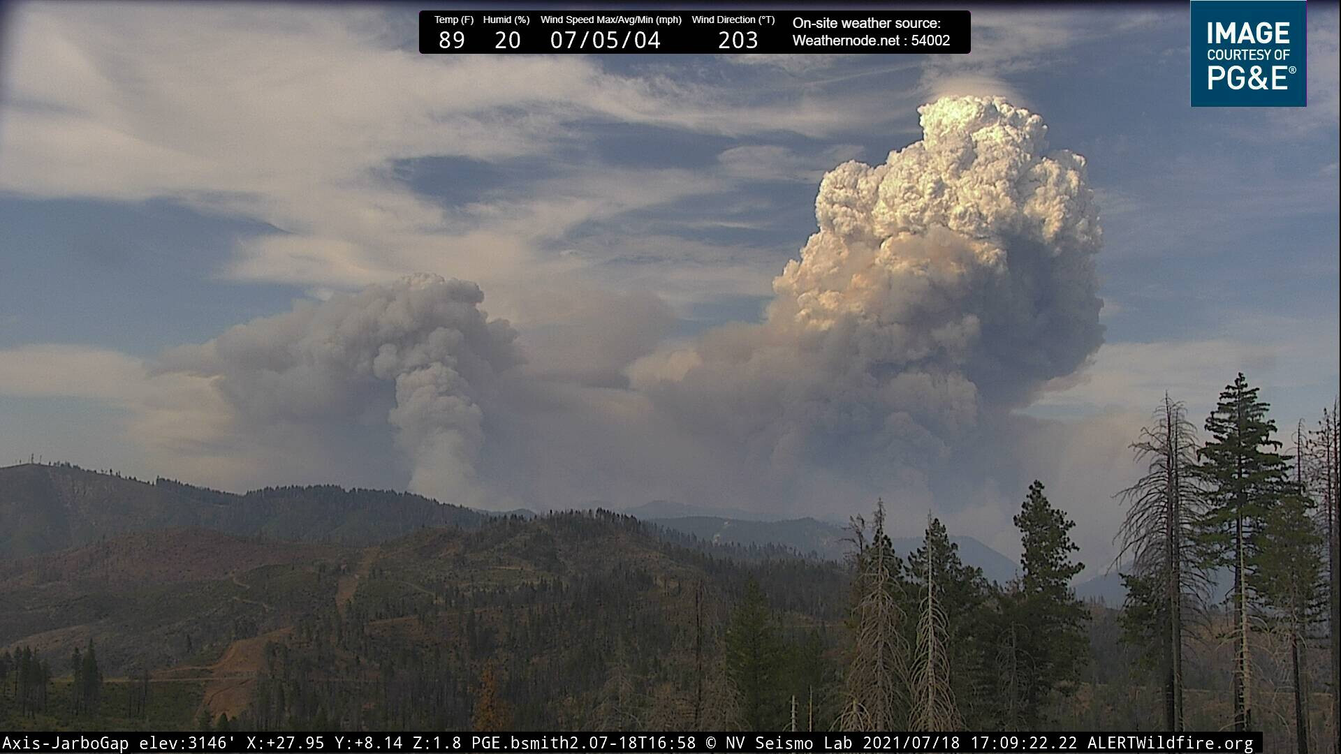
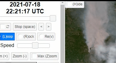
http://www.alertwildfire.org/shastamodoc/index.html?camera=Axis-FleaMtn&v=81e002f
From Flea Mtn camera. Things don’t seem to be going well…
1 Like
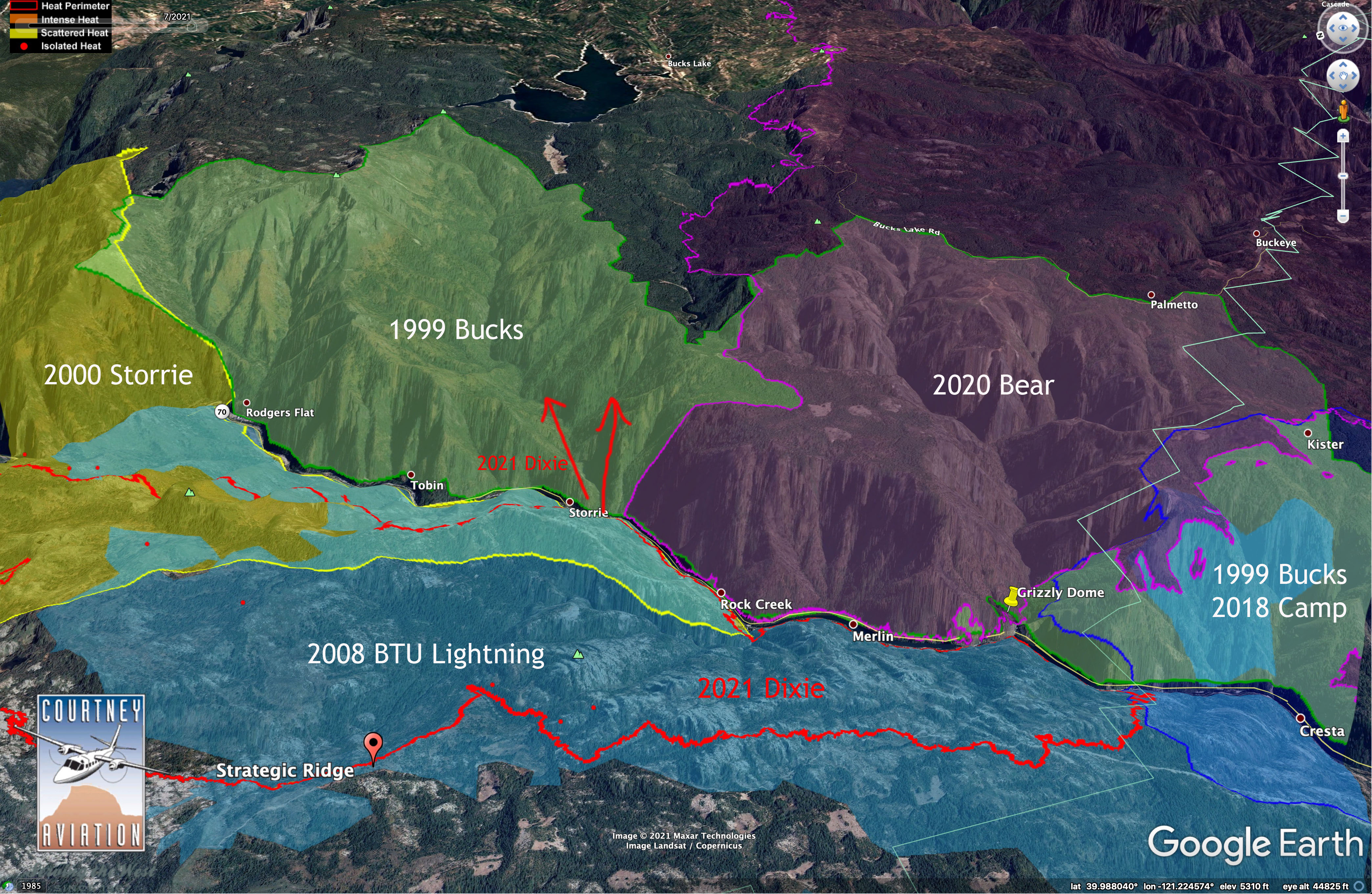
Per AA: Well established on S. Side of HWY 70, past Grizzly Forebay and Rogers flat.
6 Likes
2 posts were merged into an existing topic: CA-BTU-Dixie
Rought acres on a map encompassing 70/Grossly Forebay/ rogers flat looks more like 4k+
3 Likes
Not surprising
It looks like this is skirting along the edges of last summers North Complex …
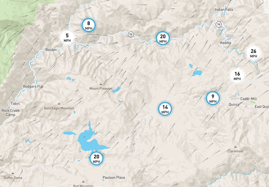
Seems like the winds have picked up and changed directions slightly…
2 Likes
The last hour time lapse is insane!!
3 Likes
Holy wow!!!
Fire history map. Tankers are painting the ridge on Bald Eagle Mtn, which is the green icon, upper left of 1999 Bucks label.
Now how many members have to ask on here before they order a Fed team?
10 Likes
Does anyone know where this crossed 70/NF Feather River? Is this Bucks Creek blowing out?
Its mentioned above…heading towards Bucks Lake. Established across at Roger’s and Grizzly. Probably going to burn up Bucks Creek, south side of Bald Eagle, at least for now.
2 Likes
Hopefully we don’t go down that road. That’s above the grade level here.
2 Likes
http://www.alertwildfire.org/shastamodoc/?camera=Axis-FleaMtn
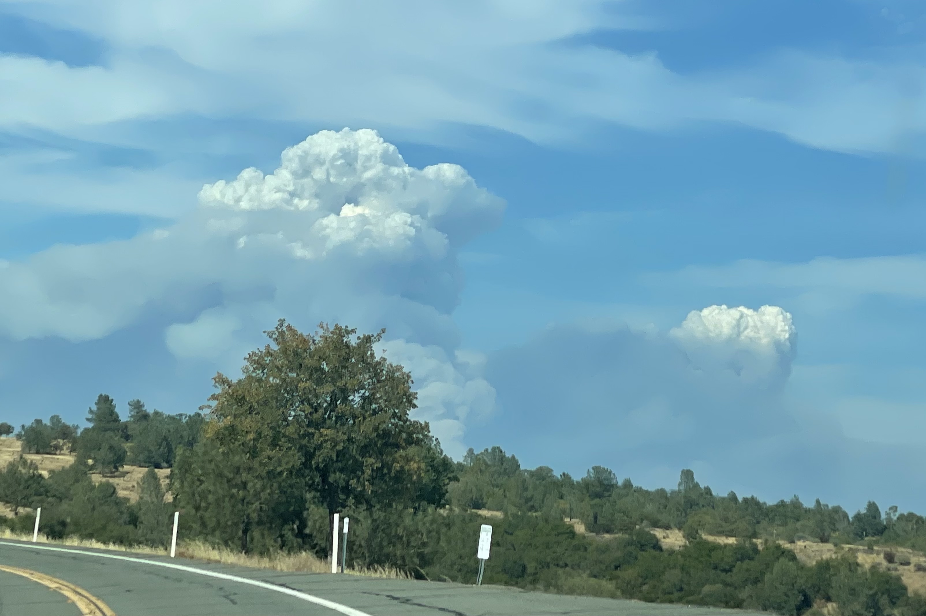
Looks like three separate heads on it now
2 Likes
Just east of Tobin according to CHP log
2 Likes
2 Likes