scanner? or site?
CHP CAD site
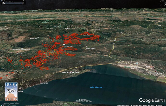
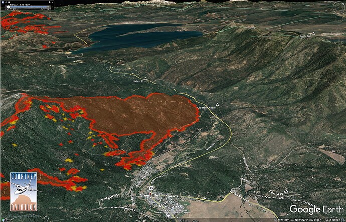
It’s East of 89. Were fighting spots East of the highway but lost them
And Chester just got mandatoried. At 17:00
Just had an announcement on the local Chico TV station for immediate evac of Chester. They also within the past 10 mins or so issued mandatory evac of Stover Mtn area and also the east peninsula/Hmilton Branch area.
The fire spotted across Hwy 89 about 4:30. Approx. 2 miles NW of Greenville near the junction with Old Haun Rd.
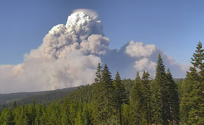
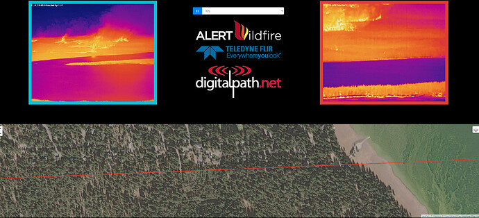
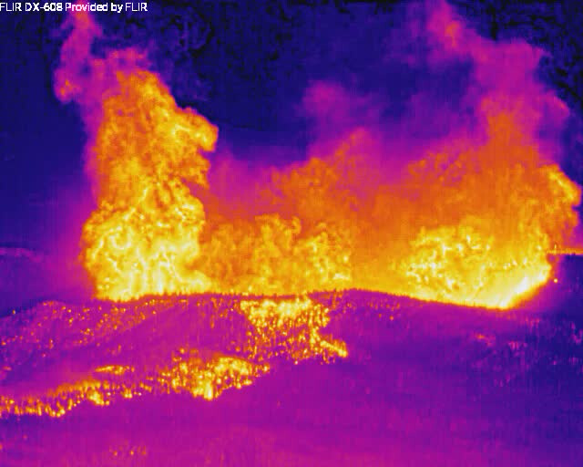
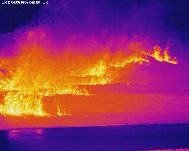
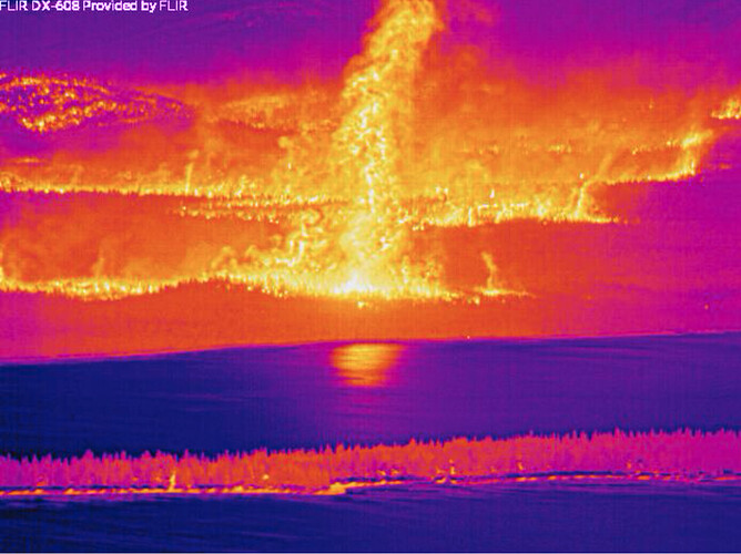
Winds are really moving this thing along. Looks like just over the hill from the Butt Valley Reservoir cam’s current location. Looks like it is moving in a narrow canyon towards what used to be unbroken timber all the way to the lake. Would this be an area they did firing on already? Otherwise, to me, this looks aligned right towards the peninsula tip for embers if they can make it the 1.25 miles or so…
http://www.alertwildfire.org/shastamodoc/index.html?camera=Axis-ButtLake&v=fd40730
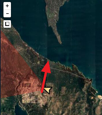
Which part of the fire is that
west of greenville
A post was merged into an existing topic: CA-BTU-Dixie
Freakin’ Mordor.
Higgins, you’ve given us all a front row view to the destruction of some of our favorite places.
Why can’t I stop looking?
Hope I can get these images out of my head at some point.
I’d thank you, but I’m not sure I needed to see this go down in such vivid color.
If I understand flir you are not looking at flame, you are looking at heat. So, down low, probably flame up higher superheated air and smoke. Can anyone confirm.
