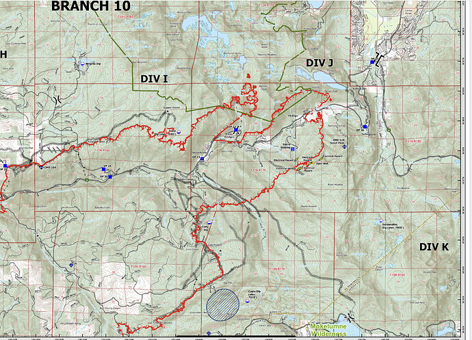
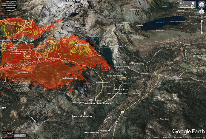
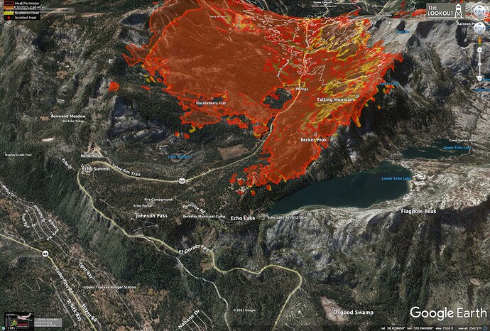
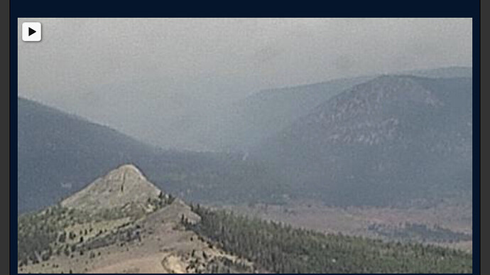
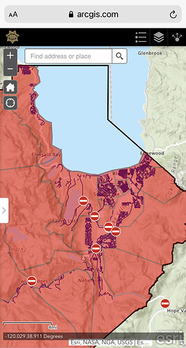
KML files filtered from 083021 data package found here:
https://ftp.wildfire.gov/public/incident_specific_data/calif_n/!CALFIRE/!2021_Incidents/CA-ENF-024030_Caldor/GIS/IncidentData/20210830/
For import into CalTopo, Google Earth, etc. Can’t vouch for how accurate they keep the data vs what’s really on the ground.
Completed Dozer Line:
Completed All Types Of Line:
Planned Dozer and Hand Line:

