I haven’t seem any sites either. Thanks for the reply.
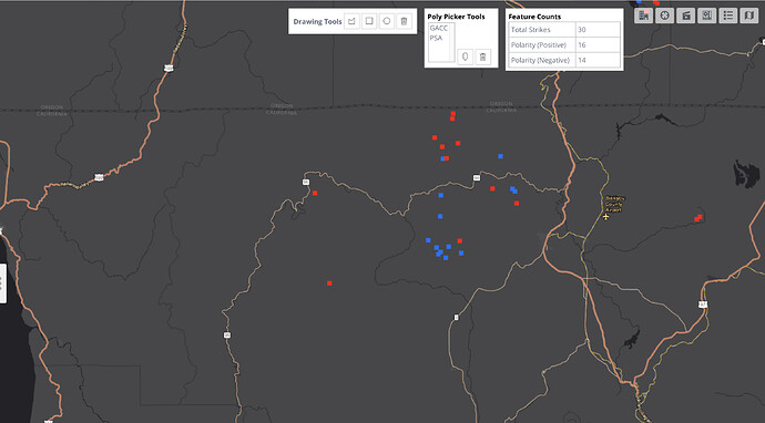
Short answer: No, not from satellite GLM data. Lightning detection ground stations can tell the difference between C2C and C2G (like NLDN by Vaisala). Unfortunately, these networks are proprietary and require subscriptions. Sometimes you can find that data online, but slightly time delayed.
Thanks for the information, Wxgeek. Maybe someday.
15 min loop from fort jones shows a huge column as the smoke clears
https://www.alertwildfire.org/tile-display/viewer/?cams=Axis-AntelopeYreka1&cams=Axis-FortJones1&cams=Axis-HerdPeak2
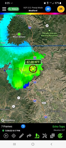
A couple more screen recordings of the recent storm outflow…
Hornbrook Camera 3hr span looking west across I5 towards McKinney
Antelope Camera 3hr span looking towards McKinney, then reorients to downtown Yreka to losing visibility
Hayfork Divide camera 1hr span looking at McKinney showing the current uplift. Wow
Fort Jones cam showing the column build as visibility cleared up
That is some disturbingly impressive video footage.
Any significant moisture with it??
A few light drops. Nothing measurable. Maybe 3 drops hit me in a 5 minute period.
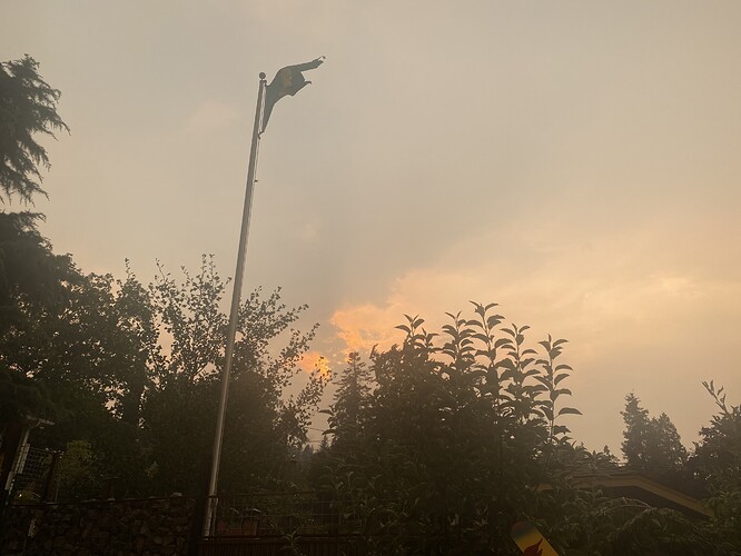
A few drops in Ashland; outflow winds with high gusts every 5-10. Thunder and twilight zone since 330-4 today.
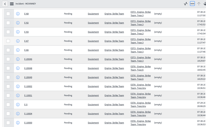
San Mateo Cpunty sending their OES Type 6 Strike Team.
Is there any update on acreage recently?
I’ve seen no new mapping since 11:45am. Looks like there is a NIROPS order - hopefully it isn’t too clouded out and we’ll have a shape in the morning.
Anyone else see the column to the west from the Ft Jones Cam?
Edit: nvm this is the shackleford.
There was an updated 209 submitted at 1800 with an estimate of 30,000 acres. More details here. Also, relating to possible camps, Cherry Flat (gravel quarry) near Horse Creek was used for the Beaver and Klamath River School across the river but with the duration of these fires in the Klamath, using the school is problematic. Happy Camp has it’s own issues besides being a ways out, at least at this stage of this fire.


