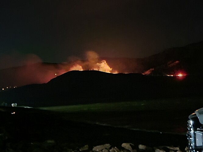
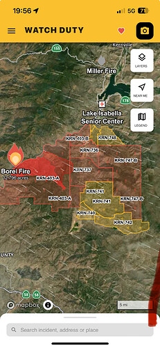
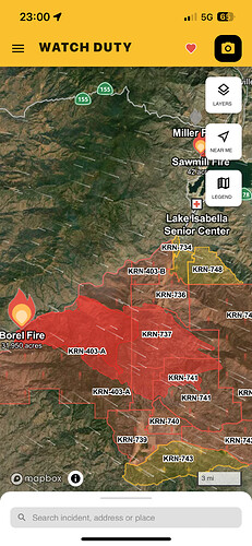
Anyone know how close this is to SRA? I was trying to look on the map but a bit tricky from my phone.
It’s gone through SRA and back onto FRA. It’s in both.
It was on FDPA but when it crossed the Caliente-Bodfish road it was on SRA, then it got into the Piute and it is back on FDPA.
DPA and Borel.pdf (344.7 KB)
…And a little bit of BLM land as a kicker. That’s why back in the day we automatically went into Unified Command at the start, if it was moving it was gonna be on all three in a few minutes. LogChief1, isn’t that why they were more fun back then?
KRN, SQF and CCD were in sink from the get go. No territorial issues.
historic town of Havilah has been destroyed…
USFS station gone also?
KRN has updated their evacuations, and now if I’m reading the map right, all of Walker Basin is in warnings or orders.
I suspect the 2020 stagecoach scar won’t slow this down much, in a year with this much grass.
Sad to read that Havilah is gone. Lots of history in the area, and many visits to the area.
I have a release that said the Havilah station and the School are all that survived.
Not independently verified but the video speaks volumes.
https://x.com/i/status/1817036705565671465
https://x.com/SoCalFirePhoto/status/1817039735061381164
Here’s another SoCalFirePhoto video… just awful stuff
Intel 24, 31,950 acres.
actually the FS station survived, and the ‘school’.
New start thread here
https://forums.wildfireintel.org/t/ca-krn-sawmill/26833/4
That new start is in some really nasty country with heavy brush and grass. You can wear out your tools in the rocks there.
just got that alert…got a good head start…not good.
3 posts were split to a new topic: Borel Photos Request


