Just ordered 2 VLATS
Will be from Santa Maria and San Bernardino
Sounds like its spotting across 44 right now
Has not crossed 44. There are spots, but they are picking them up, a lot of firing is going on as was planned for the day.
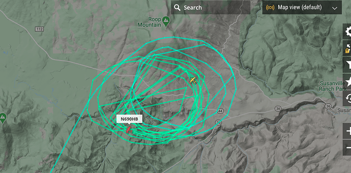
914 from SB to the fire already and landed MCC. I Imagine a load and return.
CALFIRE IMT 3 activated for the incident
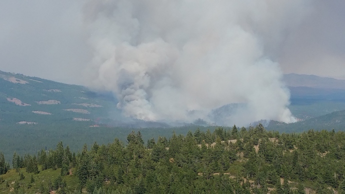
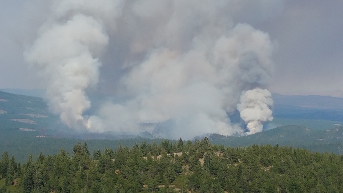
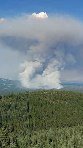
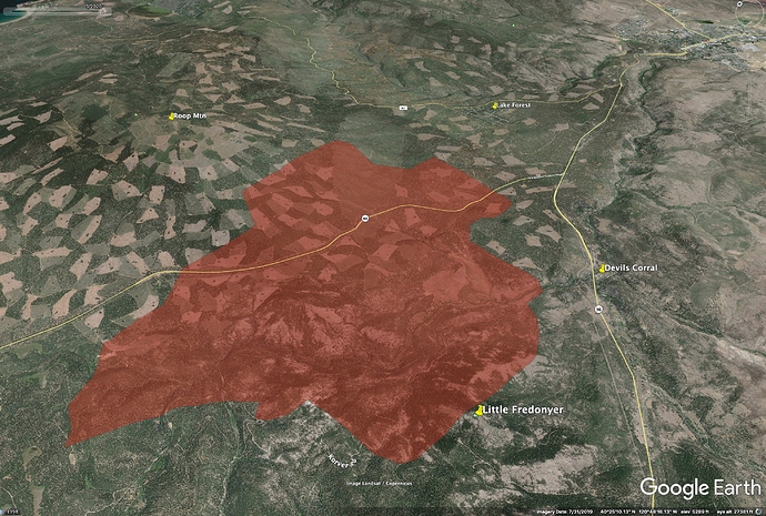
AA says fire is still about 2 miles from Lake Forest, and fire is headed more to north, not lined right up with Lake Forest. Run up Roop Mtn is really kicking now.
When did this go from the LNF To a state fire?
Started as a state fire
Clearer air on north flank now, AA working heavy tankers midsole across the cutblocks on SW flank of Roop Mtn.
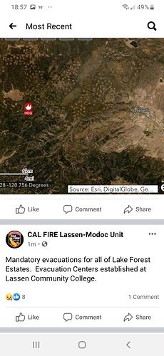
XPL planned need Charlie Strike Team with 0600 report to the Hog Fire (for now anyway).
“New Mandatory evacuations: Riverbench Rd, Britt Ln, Thumper Hill Rd, Ridge Top Rd. Basically, north and south side of Hwy 36 from A1 to Riverbench Rd.”
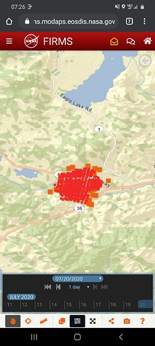
Here is a rough perimeter map from VIIRS data, from about 2am.
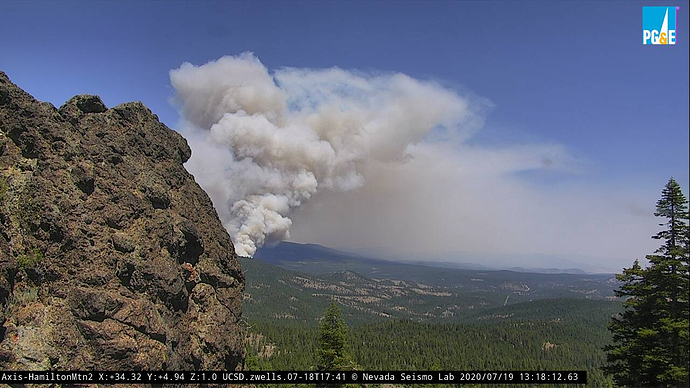
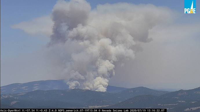
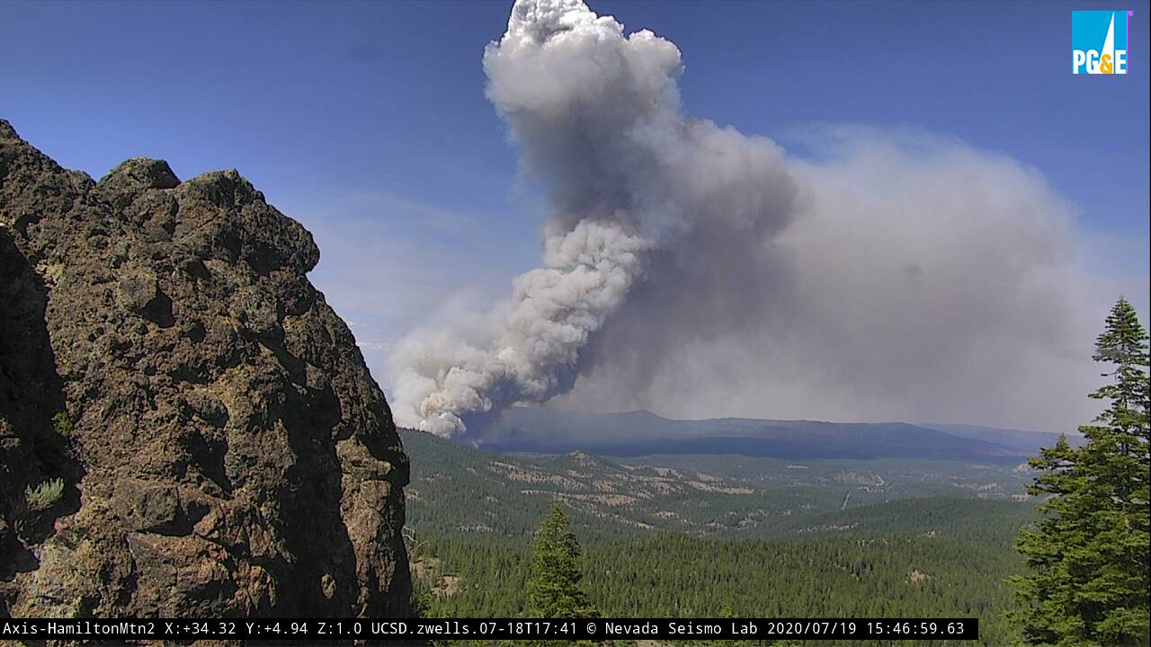
I can’t vouch for accuracy of the heat detections, but VIIRs is usually within a quarter mile, and the fire spread SW toward Hwy 36 was clear overnight on the Hamilton Mtn cam.
The fire was really blowing up on the SW side when we left Pegleg Lookout last night at 7pm.
We’ve been watching the Roop Mtn, Lake Forest/Susanville side, as that is where the WUI threat is, but
the Fredonyer Pass side of this fire is going to be tough. No fire history for most of the west side of the fire, and poor access, not a lot of terrain opportunities.

