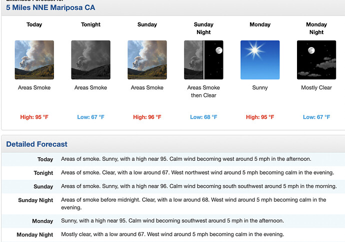
NWS Hanford: Conditions remain warmer than normal across central California but we are not experiencing the widespread excessive heat from earlier this week. A trough of low pressure along the coast has helped to lessen impacts for our area from the high pressure ridge centered near the Four Corners region. Model solutions keep our area on the edge of the high pressure ridge through early next week while a weak cyclonic circulation meanders near the California coast. Dry and warmer than normal conditions will continue in this pattern with temperatures running around 2-6 degrees above normal. This will mean a continuation of widespread triple digit highs in the San Joaquin Valley. Although not as extreme as our recent temperatures, these conditions can still pose a moderate risk of heat related illness for sensitive groups. There is little change in temperature forecasts from Tuesday through the end of next week, as we remain under the influence of the nearby ridge
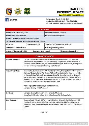
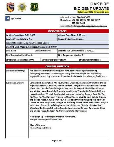
At 7:23 Intel 24 put it at 6,555 acres with a slight run on the right flank towards Triangle Road area.
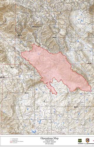
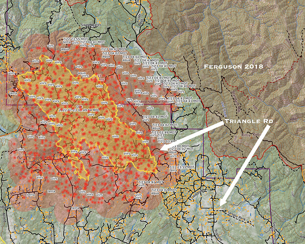
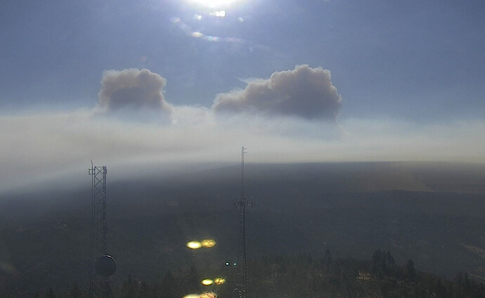
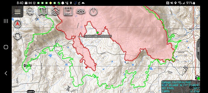
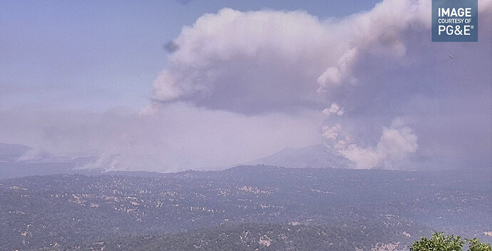
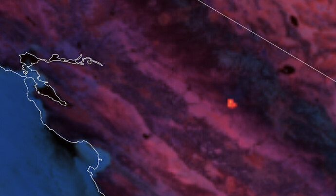
For reference here is a quick map showing Oak perimeter (yellow line), early AM Modis-VIRS heat data, relationship to the '2018 Ferguson Fire" and density of structures (dark yellow squares) in the Triangle Road area. Keep in mind per @IMT_Geek last post, shows the heat data is already outdated due this fire not laying down overnight. And already punching through the inversion per Bullion cam.
(Edit to show North end of Triangle Rd.)
Extended Frequencies
Air Tactics FM 169.200
A/G 159.345 (tac 18, tone 192.8)
Rotor Vic 119.075 (and TFR)
Addl ground tacs ordered CDF Tacs 26, 27, 28, VFires 24, 25, 26
AA up over the fire, ordering tankers for retardant work in div. R. Expect crews to get drops right in on and around structures.
They updated the Evacuation Warning and Fire Advisement boundaries. Now the Fire Advisement is extending to the Mariposa/Madera County Line in places. This means that Madera County needs to get their site going or there will be no information on evacuations south of the Mariposa county line.
Type 1 local govt ST from SLO headed that way.
Note: Winds on 0500 spot have changed to South Southwest. Diurnal influences well noted.
https://www.weather.gov/spot/php/forecast.php?snumunum=2215581.0&lat=37.68725102021804&lon=-119.70933709643491&z=9
1471A (Morro Bay, SLO City, Five Cities, Camp Roberts, and CF/SLO Co.)
9100 acres per AA
Helco is having difficulty with spotting over the line he is supporting. (maybe working the west finger). Dozers and crews keep having to pull back and start building line again. By the time he seeing them he says they are 5 acre spots.

