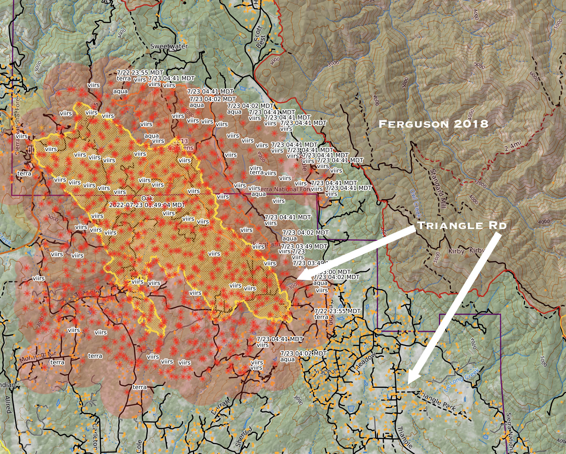
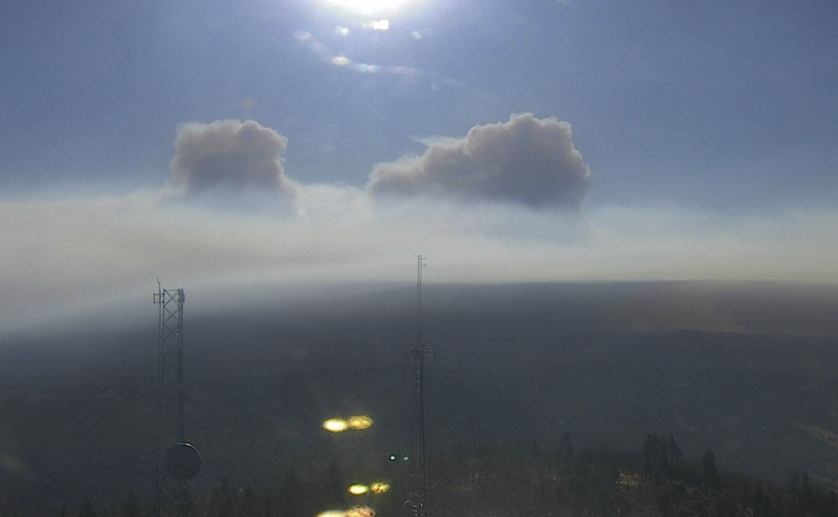
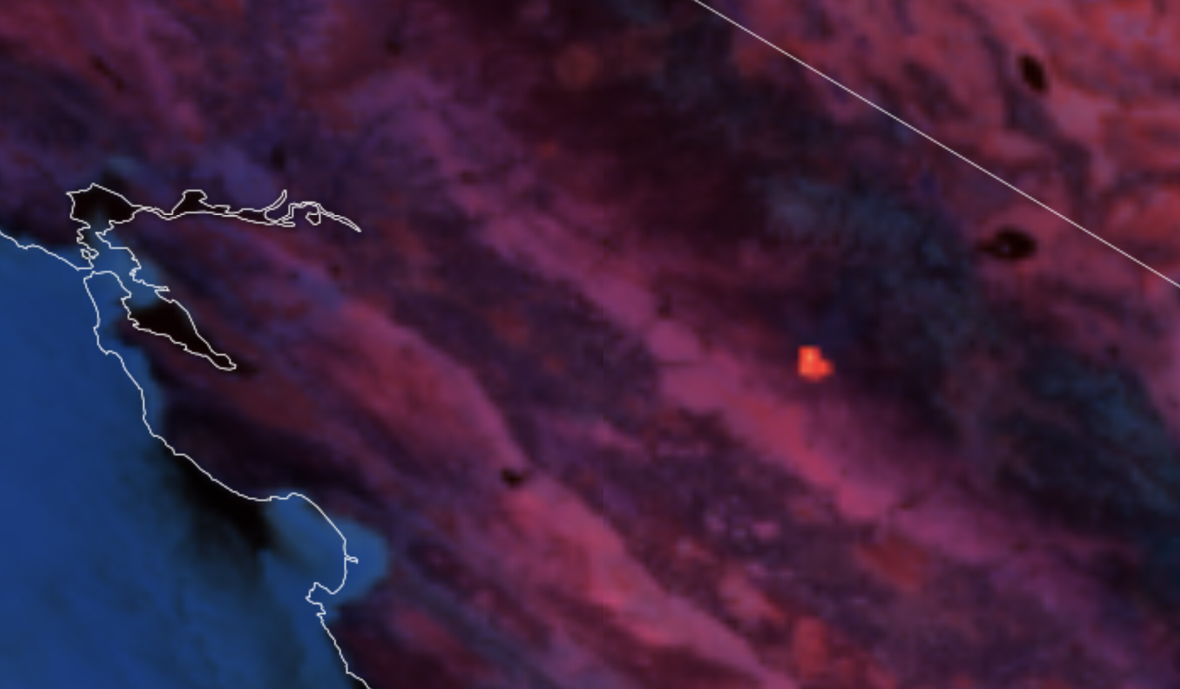
For reference here is a quick map showing Oak perimeter (yellow line), early AM Modis-VIRS heat data, relationship to the '2018 Ferguson Fire" and density of structures (dark yellow squares) in the Triangle Road area. Keep in mind per @IMT_Geek last post, shows the heat data is already outdated due this fire not laying down overnight. And already punching through the inversion per Bullion cam.
They updated the Evacuation Warning and Fire Advisement boundaries. Now the Fire Advisement is extending to the Mariposa/Madera County Line in places. This means that Madera County needs to get their site going or there will be no information on evacuations south of the Mariposa county line.
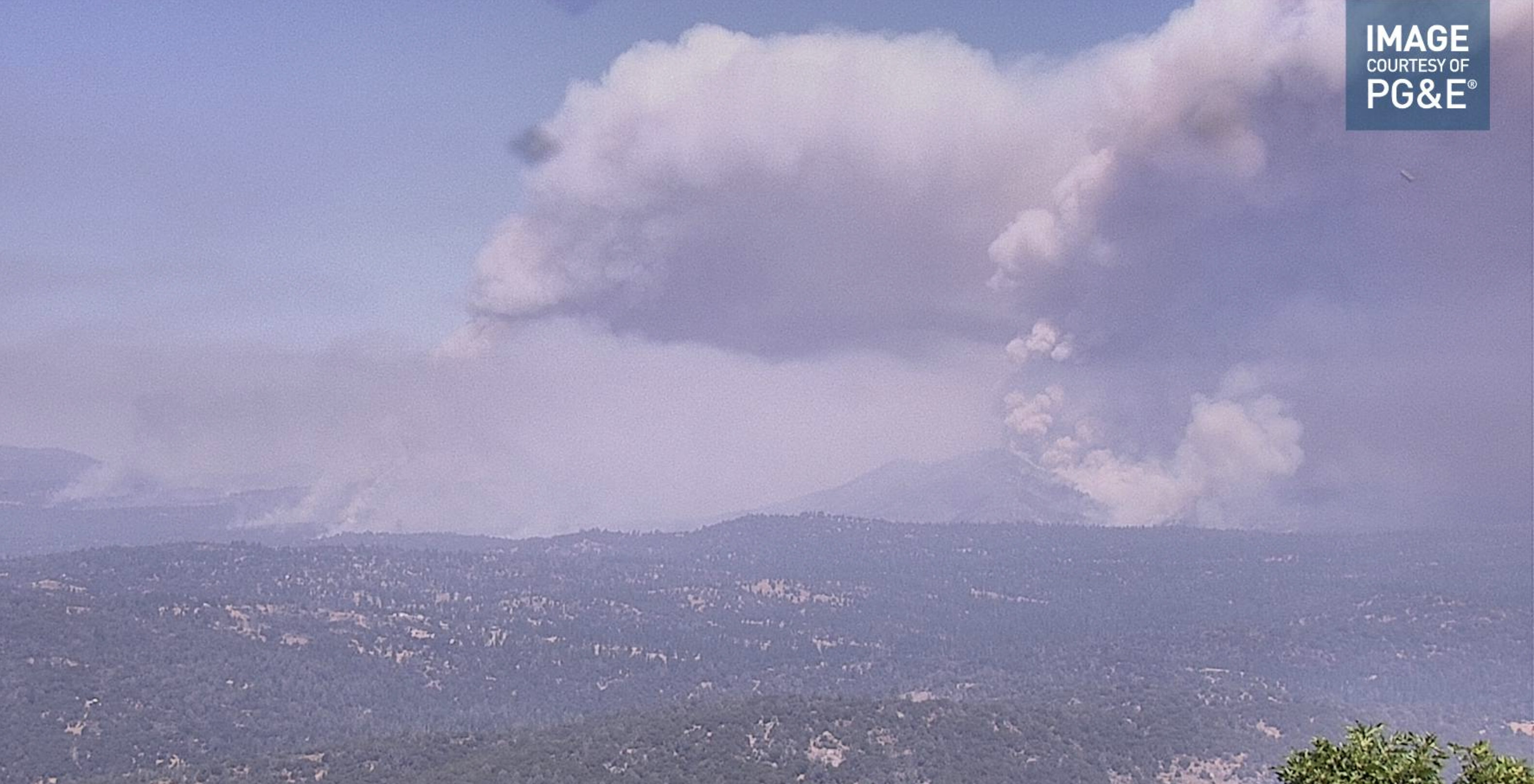
Helco is having difficulty with spotting over the line he is supporting. (maybe working the west finger). Dozers and crews keep having to pull back and start building line again. By the time he seeing them he says they are 5 acre spots.