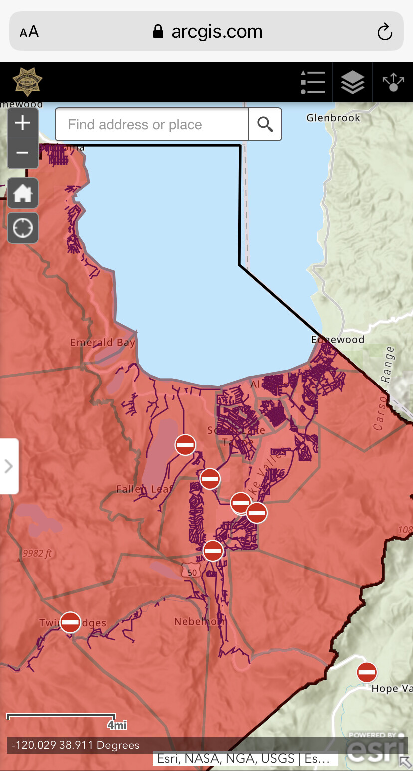
East side of Branch 10 Ops Map for Today:
Link to Today’s Maps
A post was merged into an existing topic: CA-ENF-Caldor?
IR from 2:45 am.
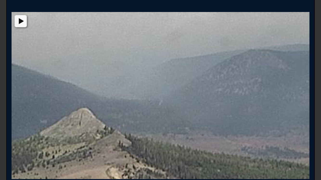
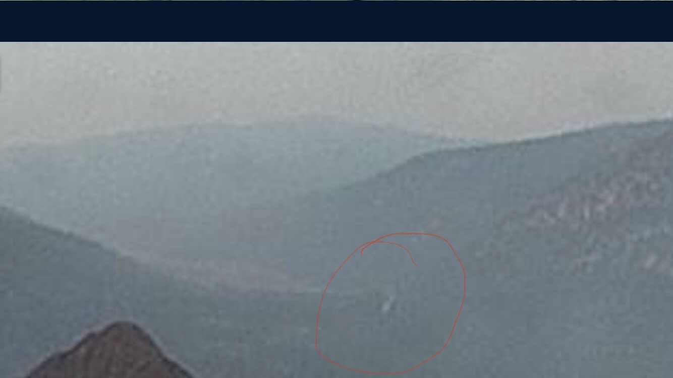
Hawkins Ridge cam looking down into the basin appears to be a spot getting established pretty far down
Based on the angle of the camera, Im not sure its looking into the basin…am I missing something ?
Hope Valley area? 88/89 intersection area
Correct, a touch south of the “basin” but Luther pass, area of the 89/88 jct.
Could that possibly be the highway?
Yes, pretty sure that’s the highway. That gave me a start!
Same. I’m confident that’s the highway. https://caltopo.com/view#ll=38.7387,-119.8723&e=30&t=n&z=7&c=-4.12,-48.2
I do not think that is a spot. Watched it on the 1 hour. No wavering smoke or movement. With as much wind as there is on the 1 hour, it would have moved. It’s not a spot.
A post was merged into an existing topic: CA-ENF-Caldor?
Sounded like they just had to hold all of the VLATs and MAFFS due to a lack of replacement Lead to replace Charlie 1
Robbing Peter to pay Paul - Bravo55 diverted from replacing Dixie’s Lead as the replacement Lead here, so the fixed wing show can continue at least
A post was merged into an existing topic: CA-ENF-Caldor?
A post was merged into an existing topic: CA-ENF-Caldor?
Tankers are working highway 88 at tragedy springs.
Power loss at my house on Blitzen Rd in Meyers. Liberty outage map indicates 251 affected.