
My KML files for 09/06:
1 Like
Does anyone have the dozer repair pdf? It shows what areas the dozers damaged
1 Like
My KML files for 20210907 here:
2 Likes
Does anyone know if there is a way to get burn severity data for the fire? (i.e. what burned super hot vs a slow and low burn).
1 Like
FS BAER team will have a finalized soil burn severity complete by early next week.veg mortality is going to track roughly as the moderate and high soil burn severity unfortunately. But official veg mortality generall comes out the following spring because tree mortality sometimes takes time
8 Likes
My KML files for 20210908:
Good morning.
Is there a link for todays IAP?
1 Like
Are they firing some land off somewhere near Echo Summit or a island burning off ?
http://www.alertwildfire.org/tahoe/?camera=Axis-HawkinsPeak
1 Like
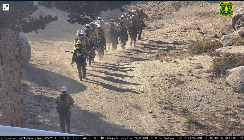
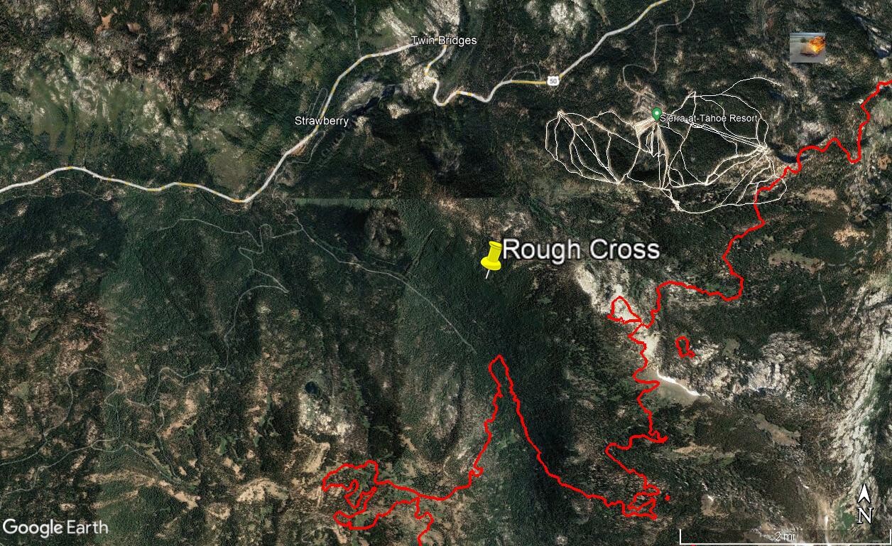
This is a rough cross, kinda hard to tell due to the wind carrying it and the cameras not picking up the base. Looks to be interior island, however they have open line just south of there that could also have taken off. Should know in the morning from the IR run.
2 Likes
It looks like since Team 2 arrived they are no longer using the FTP site. The East Side is still using the FTP site. What is the West Side using?
1 Like
3 Likes
I can see most of the burn in the Tahoe basin from my house. From Christmas Valley to Trimmer Peak. Very little smoke coming off this finger of the fire. Lots of helos going over with full buckets.
9 Likes
Zilch smoke over the entire fire. A good day.
13 Likes
2 Likes
I’ll be on vacation for a few days, no KML uploads from me while I’m gone.
16 Likes