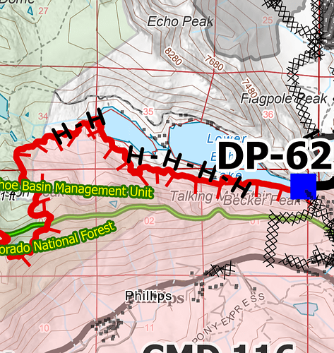
My KML files for 20210908:
Sierra at Tahoe
Morning Hike
Good morning.
Is there a link for todays IAP?
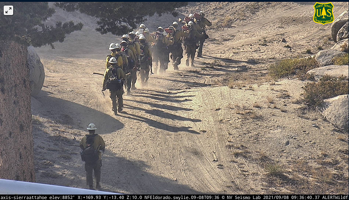
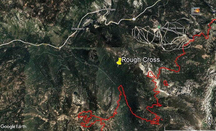
Are they firing some land off somewhere near Echo Summit or a island burning off ?
http://www.alertwildfire.org/tahoe/?camera=Axis-HawkinsPeak
This is a rough cross, kinda hard to tell due to the wind carrying it and the cameras not picking up the base. Looks to be interior island, however they have open line just south of there that could also have taken off. Should know in the morning from the IR run.
It looks like since Team 2 arrived they are no longer using the FTP site. The East Side is still using the FTP site. What is the West Side using?
I can see most of the burn in the Tahoe basin from my house. From Christmas Valley to Trimmer Peak. Very little smoke coming off this finger of the fire. Lots of helos going over with full buckets.
Zilch smoke over the entire fire. A good day.
I’ll be on vacation for a few days, no KML uploads from me while I’m gone.
Thanks for the wonderful work and enjoy your vacation!
Thanks for the work, Tumbleweed and i have been using it for maps on The Lookout, saves me a lot of time, helps get the maps done before I have to switch into oatmeal and kid-taxi mode.
T912, T914 and TNKR137 sequencing and dropping around Caples Lake area this afternoon


